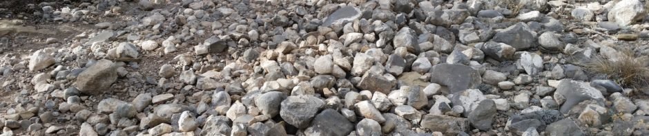
Pat & I sought a hike not too far from home; decided to try another of the trails in the Manzanita Mountains south out of Tijeras. The trails all along NM 377 are open to mountain bikes and ATVs of all kinds, and they are heavily used. We hoped to avoid those kinds of traffic by choosing a trail that is a bit more remote, and hopefully has less traffic. We were successful on that score; we encountered only 4 dirt bikes and 2 ATVs, this on a Sunday afternoon. However … because of heavy use especially by dirt bikes, the trails aren’t ‘smooth’ for foot traffic. Where the trails bend they are strongly canted, and where the trail is going up or down, the surface us often totally rock (see the image at the top of this page).
The Drive In
The drive in is easy enough, climbing on a nice dirt road off of Juan Thomas road, up to the Cedro Group Campground.
The Hike
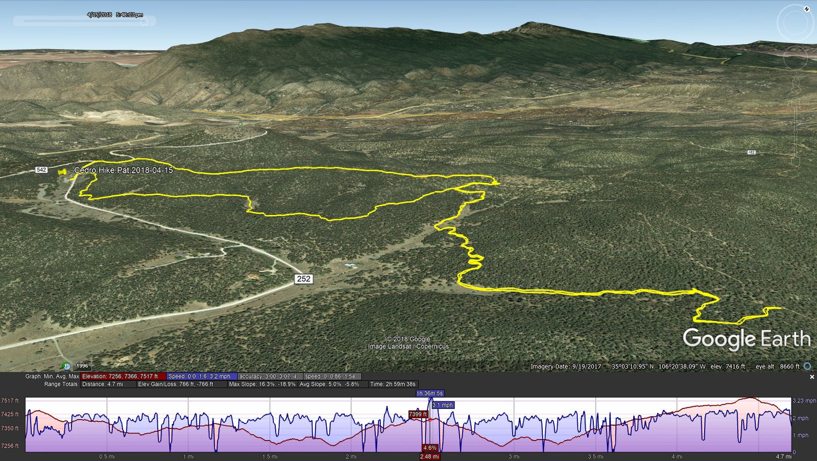
Cedro Hike.Pat.2018-04-15
We parked at a trailhead parking area a short distance above the Campground and headed down a trail marked 05623, or so we thought. However, later when I referred to the map published by the Forest Service, I discovered we were actually on 05625, “Cedro Singletrack”. Our goal was to make a loop (05625, 05627, and then 05623). Not having the FS map in hand, but using USTopo which did have these trails marked, I became unsure of our position relative to 05627 and decided to return by 05625. We did leave that trail to hook up with 05623 about half way back to the truck. It was on this leg of our hike, on 05623 (which is in spots a very rough 2-track), that we encountered two of the dirt bikes and the ATVs who came zooming by.
Highlight
These Manzanita Mountains are close to home, but they don’t provide pleasant and interesting hiking like other places. The forest is nearly all juniper and piñon with a few ponderosa pines. The terrain is rough (especially rocky) nearly everywhere, and there are few places with any views beyond the immediate surroundings. You might discern – this is not our favorite territory for our hikes.
Statistics
Total Distance: 4.70 miles
Elevation: start 7,418 ft, maximum 7,517 ft, minimum 7,256 ft
Gross gain: 261 ft. Aggregate ascending 766 ft, descending 766 ft
Maximum slope: 16% ascending, 19% descending, 5,8% average
Duration: 3:00
| GPS Track Files for Download | |
313 Downloads | |
|---|---|
216 Downloads | |
I urge you to explore our hiking tracks with Google Earth. With the virtual 3-dimensional presentation, achieved by panning and tilting the view, you can get a much better idea of the hikes and terrain than you can get from the 2-dimensional screenshot above. For assistance: Using Google Earth Track Files.
References
USFS, Sandia Ranger District: Manzanita Mountains Trail System (pdf)
MTB Project: Manzanita Mountains Trail System
Hiking Project: Manzanita Mountains Trail System
NMTS.org: Cedro Peak Area Mountain Bike Trails
AllTrails: Five Hills of Death


