Feb 2018: This is another ‘looking back’ entry in our Hiking Journal.
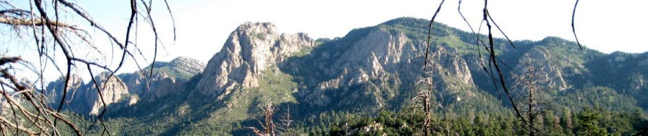
One of our many hikes through the Elena Gallegos Open Space and into the Sandia Mountain Wilderness on the Piño Trail.
The Hike
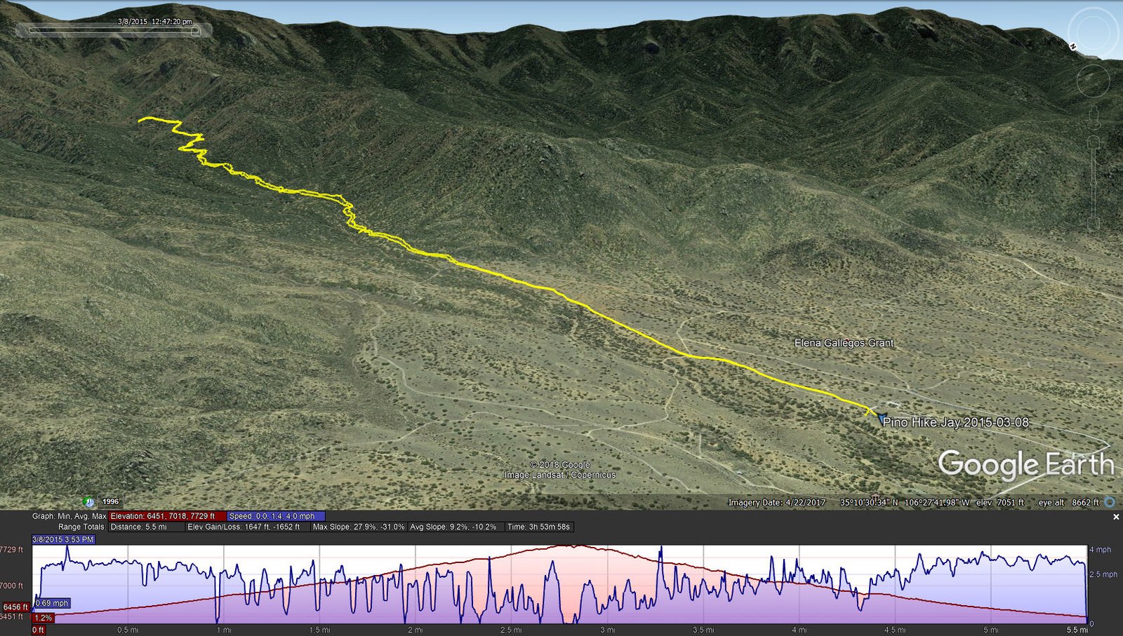
Pino Hike.Jay.2015-03-08
Jay here: And one of the reasons we have not been back is that this hike has a very long pre-hike component in which you walk for 20 minutes or more in open space (i.e. in the hot summer sun) before you even get close to something resembling a treeline. It’s the kind of hike where you wish there was a taxi service to get you to the starting gate.
Statistics
Total Distance: 5.5 miles
Elevation: start 6,451 ft, maximum 7,729 ft, minimum 6,4551 ft
Gross gain: 1,278 ft. Aggregate ascending 1,647 ft, descending 1,652 ft
Maximum slope: 28% ascending, 31% descending, 9.2% average
Duration: 3:54
| GPS Track Files for Download | |
275 Downloads | |
|---|---|
216 Downloads | |
I urge you to explore our hiking tracks with Google Earth. With the virtual 3-dimensional presentation, achieved by panning and tilting the view, you can get a much better idea of the hikes and terrain than you can get from the 2-dimensional screenshot above. For assistance: Using Google Earth Track Files.
References
Sandia Mountain Hiking Guide: Piño Trail
ondafringe: Piño Trail
AllTrails: Piño Trail