
This is a post of one of many hikes or walkabouts that Pat and I enjoyed during our visit to Oaxaca in January of 2024. This one was with friends of our guide José during our first visit to the small city of Tlaxiaco, about 3 hours by van-bus from Oaxaca de Juarez (Oaxaca city). This was our first stop on an eight-day trip to small villages in the Mixtec and Trique regions of northern Oaxaca.
The Drive In
The drive to this trail was from the outskirts of Tlaxiaco on a good road. The destination was a trail following a small stream from a small pool and waterfall, a favorite place for our friends to enjoy time in the forest.
The Hike
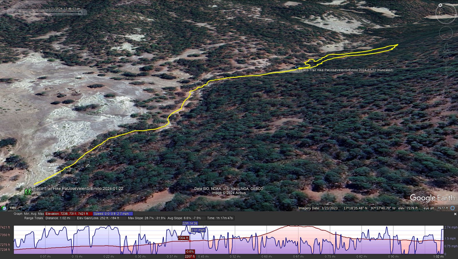
Tlaxiaco Trail Hike.PatJoséBelénSilEmilio.2024-01-22
The track on the return leg was foreshortened by GPS failure.
Notes about the Google Earth screenshot: the graph at the bottom shows elevation of the track (pink area) and speed (the blue line).
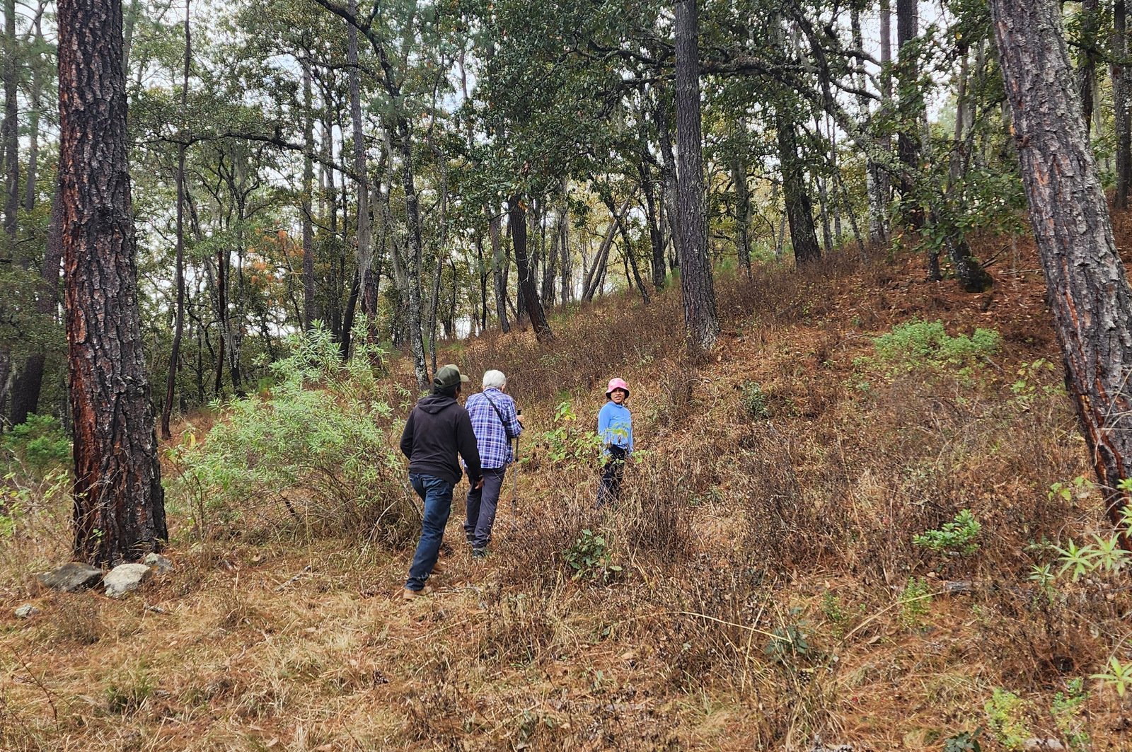 The hike was a combination of well-used trail, some less-used trail, and a bit of hiking through open forest. It began with a visit to small waterfall pouring into a nice pool (sometimes used for a soak, ‘tho not warm water). From there we proceeded on a well used trail along the stream for a few hundred. With Beln leading, we turned uphill through an open forest on a sometimes vague trail.
Since I continued to be hampered by a sore foot, we turned back at 2/3rd of a mile, descending down the hill to return along the river.
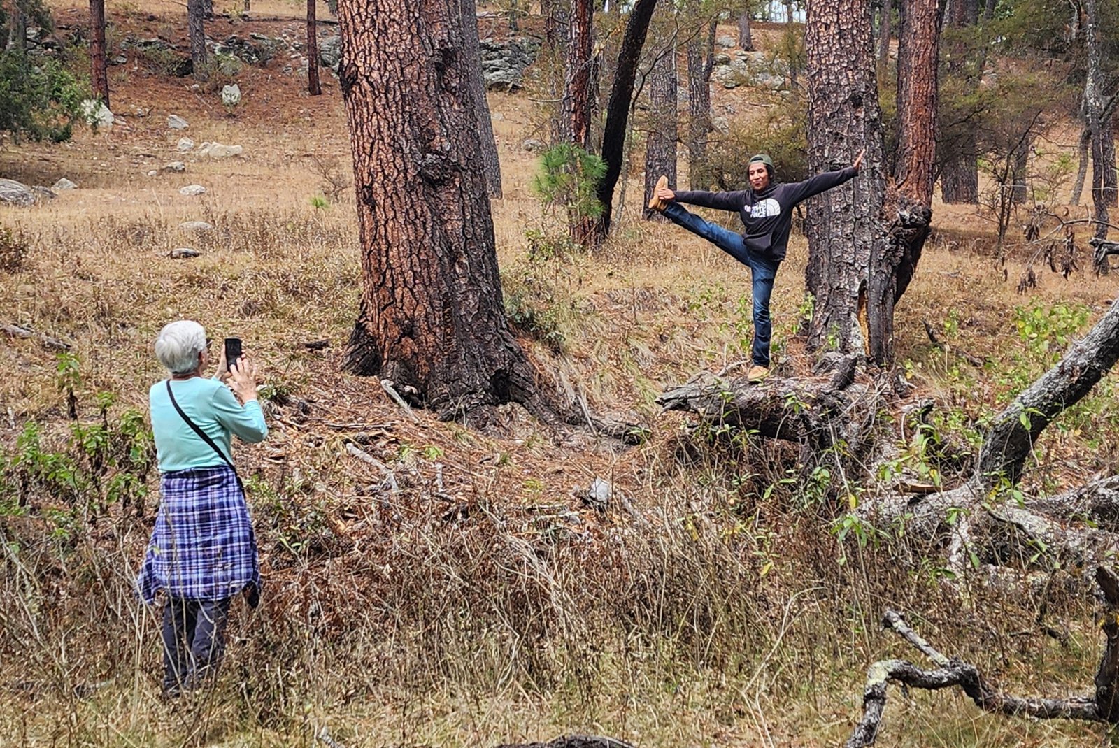
Often the clown, José showed off one of his dance moves for Pat’s photo.
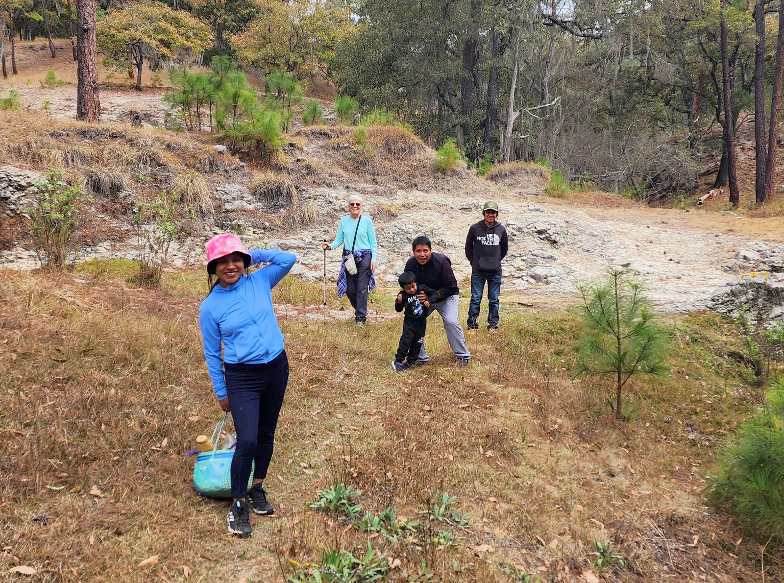
Finishing up this short hike – Belén, Sil & Emilio, Pat, and José .
Highlight
Thanks to our hosts, Belén, Sil, and little Emilio, for sharing with us a place they often visit, to enjoy the stream, pool and waterfall, and “un paseo por el bosque”.
Statistics
(The GPS lost track on the return of this out-and-back hike.
Statistics are extrapolated to complete the hike.)
Total Distance: 1.35 miles
Elevation: start 7,238 ft, maximum 7,362 ft, minimum 7,118 ft
Gross gain: 134 ft. Aggregate ascending 134 ft, descending 118 ft
Maximum slope: 29% ascending, 32% descending, 6.8% average
Duration: 1:43, Average Speed: 0.8 mph
| GPS Track Files for Download | |
135 Downloads | |
|---|---|
132 Downloads | |
If you haven’t explored these hiking tracks with Google Earth, I urge you to try it. With the virtual 3-dimensional presentation, achieved by panning and tilting the view, you can get a much better idea of the hikes and terrain than you can get from the screenshot above. For some ideas, check out Using Google Earth Track Files.
References and Resources
Wikipedia: Tlaxiaco