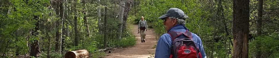
Ok, so we’ve hiked this before. Not much has changed, except this time we went around the loop in the clockwise direction and we didn’t extend the hike as far up Tesuque Creek.
The Hike
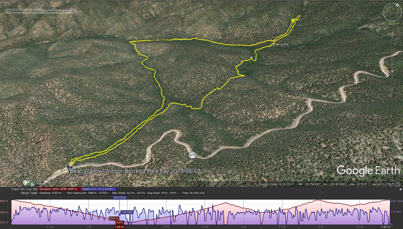
Bear Wallow-Winsor-Borrega Hike.Jay.2019-06-02
Statistics
Total Distance: 4.9 miles
Elevation: start 8,887 ft, maximum 8,893 ft, minimum 8,203 ft
Gross gain: 690 ft. Aggregate ascending 1,566 ft, descending 1,578 ft
Maximum slope: 32% ascending, 29% descending, 9.9% average
Duration: 3:34
| GPS Track Files for Download | |
322 Downloads | |
|---|---|
320 Downloads | |
I urge you to explore our hiking tracks with Google Earth. With the virtual 3-dimensional presentation, achieved by panning and tilting the view, you can get a much better idea of the hikes and terrain than you can get from the 2-dimensional screenshot above. For assistance: Using Google Earth Track Files.
References: See earlier hike – Borrego-Winsor-Bear Wallow Hike – 7/29/2018


