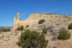
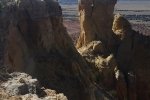
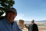
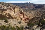
For the second day of our trip to Abiquiú, after spending the night at the Abiquiú Inn in a very nice room with a gas fireplace, we headed to the Ghost Ranch. We had stopped by the day before, so we had our eyes on hiking one of three trails there. We chose the one rated Moderate, the Chimney Rock trail, a good choice for us that day.
The Hike

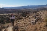
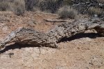
Flora for this hike: ‘Tis winter, so not many plants are “showing off”. But this Juniper looks great with the Chama River valley and Cerro Pedernal in the background.
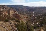
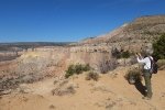
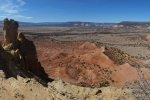
Starting at the Visitor’s Center, the hike proceeds up a long ridge to the top of the mesa and behind Chimney Rock itself. Along the way, the views across the Chama River valley are stunning, with Abiquiu Lake in the background and more mesas like those here at Ghost Ranch on the far (west) side of the valley. But, turning the other way, looking east, the views into the Ghost Ranch canyon (Arroyo del Yeso), its side canyons, and the surrounding mesas were equally stunning. The trail is well traveled, at times steep, and in a few places a bit narrow. But nowhere is it especially challenging, and being on top of the mesa makes the climb well worth the effort. After our mid-hike repast, the descent was easy with only one area of rocks where extra care was required.
Statistics
Total Distance: 3.08 miles
Elevation: start 6,451 ft, maximum 7,062 ft, minimum 5,451 ft
Gross gain: 611 ft. Aggregate ascending 1,002 ft, descending: 1,006 ft
Maximum slope: 70% ascending, 62% descending, 11% average
Duration: 3:00
| GPS Track Files for Download | |
328 Downloads |
|
|---|---|
109 Downloads |
|
I urge you to explore our hiking tracks with Google Earth. With the virtual 3-dimensional presentation, achieved by panning and tilting the view, you can get a much better idea of the hikes and terrain than you can get from the 2-dimensional screenshot above. For assistance: Using Google Earth Track Files.
References
Ghost Ranch: Hiking Trails
AllTrails: Chimney Rock Trail
Discover the West: Chimney Rock Trail
The Outbound: Hike to Chimney Rock at Ghost Ranch


