This really was our first foray on our own into the Jemez Mountains (though we did hike Cebolla Canyon earlier in 2014, but Jay had hiked there some years before).
The Drive In
Having done virtually no advance planning, we drove up FR 10 as far as we were comfortable, then parked alongside the road and hiked onward.
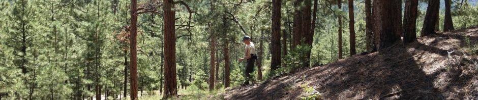
The Hike
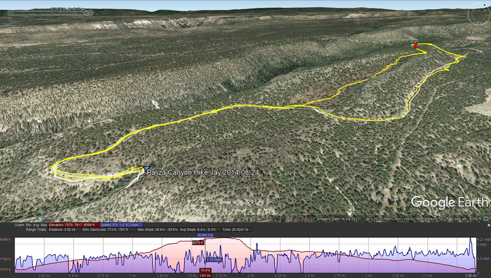
Paliza Canyon Hike.Jay.2014-08-24
Following our ?instincts?, we remained on FR 10 for a ways, then turned onto a two-track up a valley. Nearing the end of this small valley, we climbed onto the ridge, then began looking for a reasonable route down into the adjoining canyon. The slope didn’t change much, so we descended on a fairly steep route and found ourselves back on a road, later to learn it was FR 10 which we followed to return to the car.


Statistics
Total Distance: 3.92 miles
Elevation: start 7,596 ft, maximum 8,099 ft, minimum 7,597 ft
Gross gain: 502 ft. Aggregate ascending 773 ft, descending 767 ft
Maximum slope: 27% ascending, 40% descending, 6.4% average
Duration: 2:52
| GPS Track Files for Download | |
359 Downloads | |
|---|---|
343 Downloads | |