During a trip to Chama with Pat, I met Jay near Abuquiu for lunch and a short hike to visit the Poshuouingue Ruins.
The Drive In
Poshuouingue Ruins are 3 miles east of Abuquiu on US 84.
The Hike
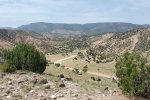
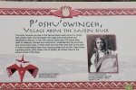
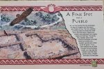
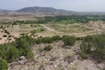
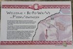
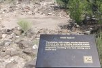
 There is ample parking just off of the highway, and signs point clearly to the trail, which climbs 100 feet to a plateau which offers a view of the layout of the Pueblo below. The trail then climbs another 250 feet to the top of a plateau which affords a great view of the Rio Chama valley. And there are signs that give one information about the P’oshu’owingeh people, and their Pueblo.
Statistics
Total Distance: 1.06 miles
Elevation: start 5,960 ft, maximum 6,194 ft, minimum 5,960 ft
Gross gain: 234 ft. Aggregate ascending 279 ft, descending 290 ft
Maximum slope: 35% ascending, 37% descending, 9.0% average
Duration: 0:54
114 Downloads |
|
|---|---|
106 Downloads |
If you haven’t explored these hiking tracks with Google Earth, I urge you to try it. With the virtual 3-dimensional presentation, achieved by panning and tilting the view, you can get a much better idea of the hikes and terrain than you can get from the screenshot above. For some ideas, check out Using Google Earth Track Files.
References and Resources
AllTrails: Poshuouinge Overlook
Tripadvisor: Poshuouinge Ruins
Wikipedia: Poshuouinge


