This is a “catchup” post created in 2018, for a hike/expedition back in 2014, prior to starting the BLOG.
The Drive In
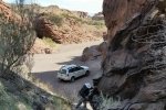
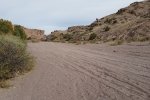
Good directions to San Lorenzo Canyon are offered AllTrails page for the canyon. Turn west on a dirt road about 4.5 miles north of Lemitar. Then about 1.9 miles, turn right (north), which takes one down into the ‘wash’, the sandy bottom of San Lorenzo Arroyo. Follow the wash until you encounter a rock wall blocking further driving.
The Hike
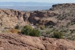
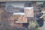
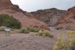
For this outing Vince and I wandered about in the vicinity of the rock wall. It involved a bit of climbing up steep rock outcroppings, but the area was easy to explore. ‘Tis interesting geology, and the views – of the canyon and rocks and the vistas of the surrounding area, made the visit quite enjoyable.
Statistics
Total Distance: 1.50 miles
Elevation: start 5,253 ft, maximum 5,541 ft, minimum 5,253 ft
Gross gain: 288 ft. Aggregate ascending 619 ft, descending 615 ft
Maximum slope: 37% ascending, 42% descending, 12.2% average
Duration: 4:00
| GPS Track Files for Download | |
184 Downloads |
|
|---|---|
150 Downloads |
|
If you haven’t explored these hiking tracks with Google Earth, I urge you to try it. With the virtual 3-dimensional presentation, achieved by panning and tilting the view, you can get a much better idea of the hikes and terrain than you can get from the screenshot above. For some ideas, check out Using Google Earth Track Files.
References
BLM: San Lorenzo Canyon
Visit Socorro: San Lorenzo Canyon
AllTrails: San Lorenzo Canyon
Wetherill Family: San Lorenzo Canyon, New Mexico


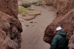
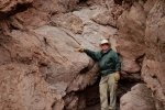
This was a really wonderful hike. The canyon is just spectacular.