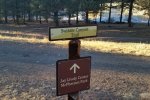
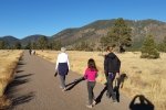
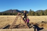
Holiday’s visit with Sarah and Charlotte: Christmas in Tucson, a stop in Phoenix, then to Flagstaff. Hoping for snow – none. Cold at night but warm daytime. Found a trail close to the AirBnB – made for a really nice walk on well maintained and used trails.
The Hike
Statistics
Total Distance: 2.28 miles
Elevation: start 6,984 ft, maximum 7,149 ft, 6,984 minimum ft
Gross gain: 165 ft. Aggregate ascending 201 ft, descending 201 ft
Maximum slope: 14% ascending, 12% descending, 3% average
Duration: 1:32
| GPS Track Files for Download | |
297 Downloads |
|
|---|---|
131 Downloads |
|
I urge you to explore our hiking tracks with Google Earth. With the virtual 3-dimensional presentation, achieved by panning and tilting the view, you can get a much better idea of the hikes and terrain than you can get from the 2-dimensional screenshot above. For assistance: Using Google Earth Track Files.
References
City of Flagstaff: Switzer Canyon Trail
Google: Flagstaff Urban Trail System


