Escaping the very hot weather in Albuquerque, we returned to a favorite high-altitude region – Chama, NM and trails up on Cumbers Pass.
The Drive In
We spent the weekend in Chama, lodging at the Little Rock House on Maple, a lovely cottage near the north edge of town. Drawing from a prior visit to hike the CDT from Cumbres Pass:
Chama is the southern terminus of the Cumbres and Toltec Railroad, a vintage narrow gauge rail line that offers rides from Chama over Cumbres Pass to Antonito, CO. Driving from Chama north on NM 17, the tracks are never far from the highway, and if one’s timing is right one will see a steam locomotive with passenger cars (and sometimes utility cars) climbing up the 2,000 foot grade (or coasting down). Or maybe see a train pause at the small railyard at the summit of Cumbres Pass.
The drive up on the highway is scenic, especially because sufficient moisture has made the forest, pastures, even the roadside a very healthy green. At the summit, we parked in the lot on the south side of the highway a short distance prior to the summit with a sign introducing the CDT Southbound.
The Hike
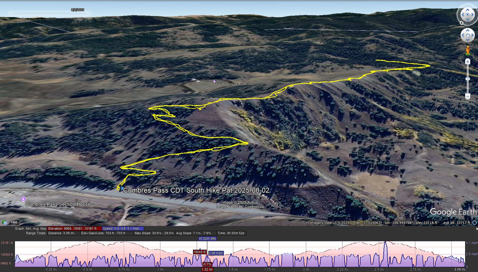
Cumbres Pass CDT South Hike.Pat.2025-08-02
Notes about the Google Earth screenshot: the graph at the bottom shows elevation of the track (pink area) and speed (the blue line).
Highlight
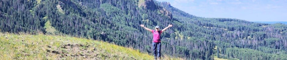
As has been the case with other hikes, the CDT southbound is a veritable flower garden. I counted twenty different flowering plants in the first 200 yards from the trailhead. And there were flowers in bloom all along the trail. Otherwise, I can’t really add anything to the description for our hike back in 2023 – I refer you to that post: Cumbres Pass CDT South Hike – 07/12/2023, and the other hikes.
Statistics
Total Distance: 3.09 miles
Elevation: start 9,965 ft, maximum 10,181 ft, minimum 9,965 ft
Gross gain: 216 ft. Aggregate ascending 703 ft, descending 703 ft
Maximum slope: 31% ascending, 30% descending, 7.4% average
Duration: 3:56, Average Speed: 0.8 mph
| GPS Track Files for Download | |
120 Downloads | |
|---|---|
113 Downloads | |
| Link to GAIA GPS: “Cumbres Pass CDT South Hike” | |
| If you haven’t explored these hiking tracks with Google Earth, give it a try. With the virtual 3-dimensional presentation, achieved by panning and tilting the view, you can get good idea of the hike and the terrain. For some ideas, check out Using Google Earth Track Files. | |
Related Posts
References and Resources
Forest Service:
AllTrails: Flat Mountain via Continental Divide National Scenic Trail #813
GAIA: Continental Divide Trail (Cumbres Pass South)
And References and Resources on Cumbres Pass CDT South Hike – 07/12/2023
Photos


Views to date: 58 views.