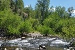
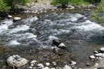
This was our second day of hiking in the San Juan mountains near Pagosa Springs. Our original plan was to hit the north end of the Quartz Ridge Trail, the trailhead located about 3 miles up the East Fork San Juan River on County Road 667 from the campground. After parking, we soon discovered that the trail required crossing either the East Fork San Juan River or Sand Creek, both of which were running large and fast. Not prepared for wading, we turned towards the Coal Creek trail, the trailhead being on the other side of the parking area.
The Hike
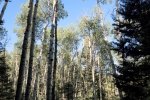
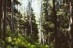
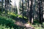
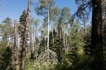
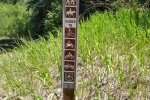
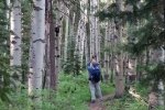
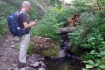
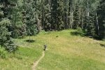
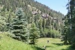
The trail, well marked like the Turkey Creek Trail, presented us with a steady climb from the git-go. Except for an area of open hillside near the start, we were in fairly dense forest throughout – not many scenic views like those we’re accustomed to in New Mexico – with lots of aspen (-big- aspen), ponderosa pine, douglas fir, scrub oak, and more. About 2 miles into the hike on the Trail we found ourselves tracking parallel to a very nice brook – the sound of water coursing over rock falls and fallen tree trunks was quite pleasant.
We started the hike with 3 layers of clothing, the temperature being quite cool (’twas 48° when we arose in the camper that morning); even tho’ we were going to higher elevations, conditions warmed, we doffed layers, and .. it was time to take a break and head back down.
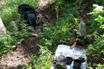
Jay here: Coal Creek really raised the bar for us in terms of elevation and some constant ascents but we were up to it. Most of the hike was in old growth forest with large aspens (that some people just can’t resisting leaving their initials on) and there were a few streams that seemed to originate as springs.
Statistics
Total Distance: 4.52 miles
Elevation: start 7,914 ft, maximum 9,248 ft, minimum 7,914 ft
Gross gain: 1,312 ft. Aggregate ascending 1,787 ft, descending 1,787 ft
Maximum slope: 45% ascending, 43% descending, 14% average
Duration: 4:36
| GPS Track Files for Download | |
291 Downloads |
|
|---|---|
220 Downloads |
|
I urge you to explore our hiking tracks with Google Earth. With the virtual 3-dimensional presentation, achieved by panning and tilting the view, you can get a much better idea of the hikes and terrain than you can get from the 2-dimensional screenshot above. For assistance: Using Google Earth Track Files.
References
The Adventure Guide-Pagosa.com:
Hiking Trails in the San Juan National Forest – Pagosa Springs Area
Pagosa.com: A Walk in the Woods: Hiking Trails in Pagosa Springs
Outdoor Recreation Information Center – Colorado:
Pagosa Springs Region Day Hiking Trails Index


