For our third day in the San Juan Mountains/Pagosa Springs, we headed UP, maybe above the tree line? To Wolf Creek Pass and a section of the Continental Divide Trail (CDT).
The Drive In
It is a long way up a steep highway US 160, from 7,800′ elevation to 11,800′ at the trailhead above the Pass. It was obvious immediately that we -would have- scenic views.
The Hike
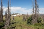
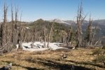
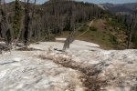
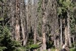
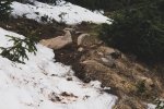
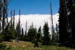
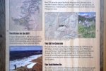
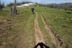
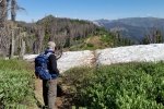
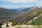
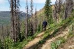
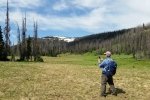
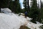
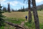
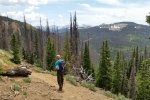
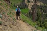
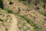
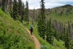
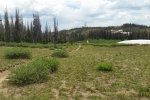
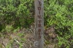
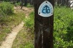
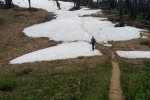
From the Lobo Trailhead we descended across a snow bank to meet up with the CDT about 1/2 mile on. For the next 1.4 miles the trail continued down, a medium width, well traveled trail but on a quite steep hillside. From here it went up a bit, at least as far as we went before stopping for our mid-hike break and return trip. The views in every direction are stunning, looking across valleys to the next section of the San Juan Mountains. ‘Tho we weren’t “above the tree line”, many of the peaks above 12,000′, some over 13,000’ and were barren.
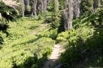
Jay here: It was a bit chilly and windy atop the CDT trailhead. You start out behind the big radio towers and immediately walk over a snow covered trail. Most of the trail is in the open and some portions are narrow ledges along steep hillside. If you fall on that hillside you are going roll quite a way before you can stop yourself, a fact that offers little comfort to me and my vertigo. Other parts of the trail run through older forest where there is still snow on the ground. There were also a lot more corn lilies in the meadows we crossed. This was another hike that had descents at the start that made for a long slog back at the return, but we persevered.
Statistics
Total Distance: 6.07 miles
Elevation: start 11,742 ft, maximum 11,742 ft, minimum 11,148 ft
Gross gain: 695 ft. Aggregate ascending 1,448 ft, descending 1,447 ft
Maximum slope: 34% ascending, 30% descending, 8% average
Duration: 4:26
| GPS Track Files for Download | |
277 Downloads |
|
|---|---|
337 Downloads |
|
I urge you to explore our hiking tracks with Google Earth. With the virtual 3-dimensional presentation, achieved by panning and tilting the view, you can get a much better idea of the hikes and terrain than you can get from the 2-dimensional screenshot above. For assistance: Using Google Earth Track Files.
References
The Adventure Guide-Pagosa.com:
Hiking Trails in the San Juan National Forest – Pagosa Springs Area
Pagosa.com: A Walk in the Woods: Hiking Trails in Pagosa Springs
Outdoor Recreation Information Center – Colorado:
Pagosa Springs Region Day Hiking Trails Index


