The 5th of 7 hikes during our 3+ week trip to Idaho. After camping in our R-Pod for 4 days near Stanley, we moved to the Edna Creek Campground south of Lowman for 3 days.
The Drive In
No drive in required here – the trailhead was at the boundary of the campground.
The Hike
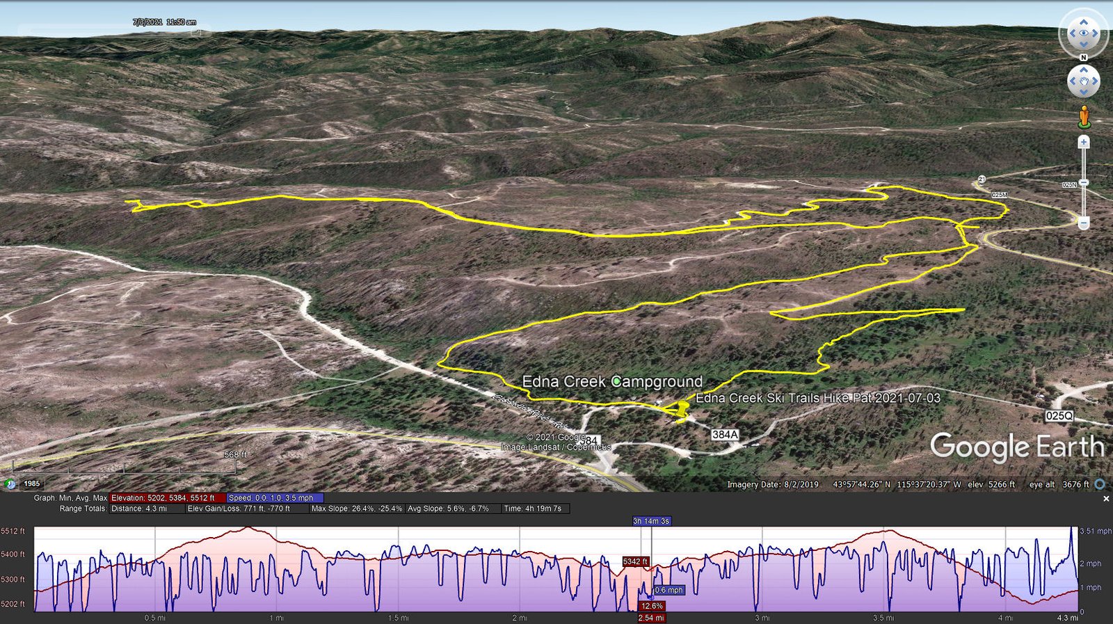
Edna Creek Ski Trails Hike.Pat.2021-07-03
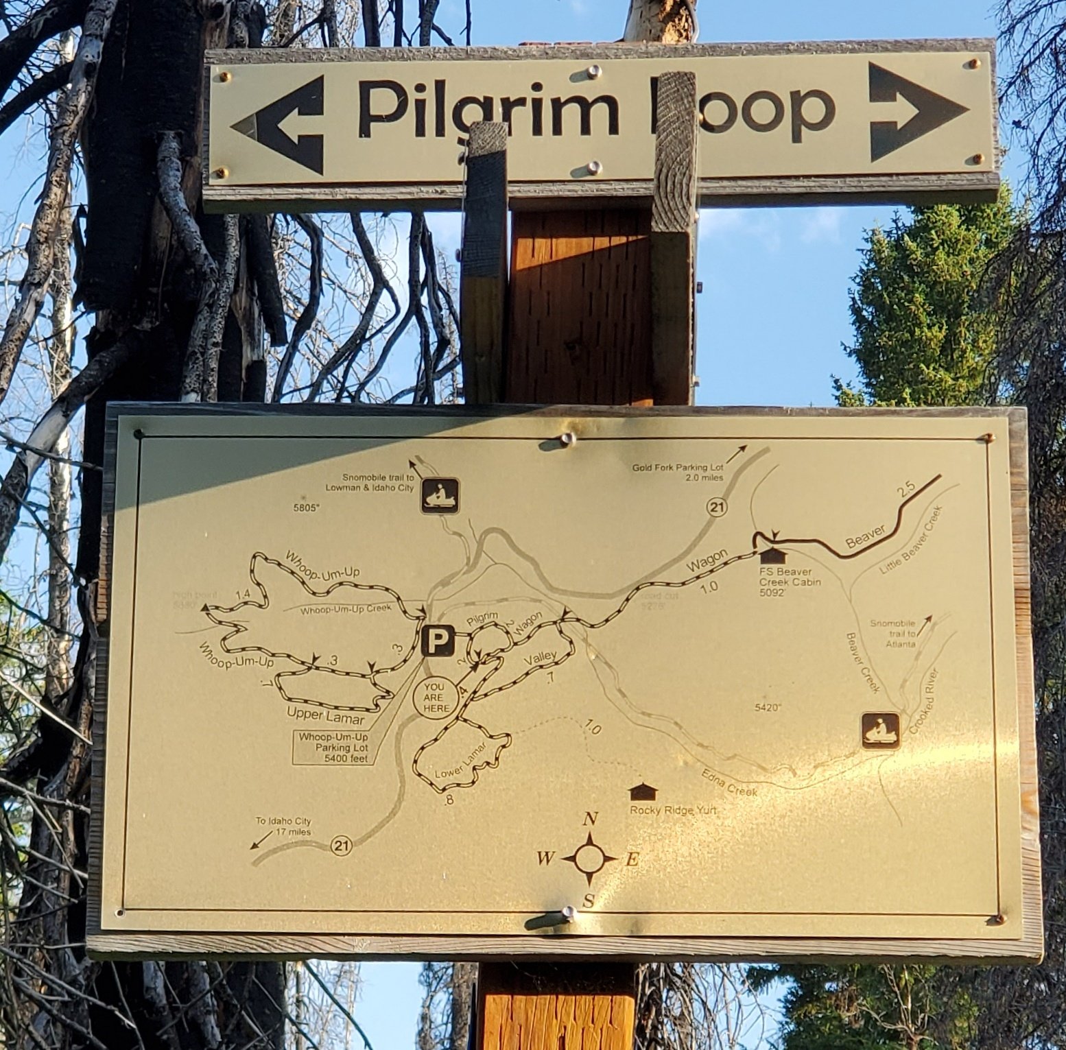 Being able to begin the hike without driving was very nice. The trail is well traveled, easy to follow with occasional blazes, we presume for cross country skiing. And there are signs with trail maps at strategic locations. From the campground, it proceeds through open forest with nice shrubs and flowers. With 1 switchback, it ascends some 250 feet to the top of a ridge, which is clean of most all plants – apparently the site of a fire sometime past. Along the way the trail picks up a 2-track, descending somewhat until a junction with other 2-tracks, adjacent to highway ID 21.
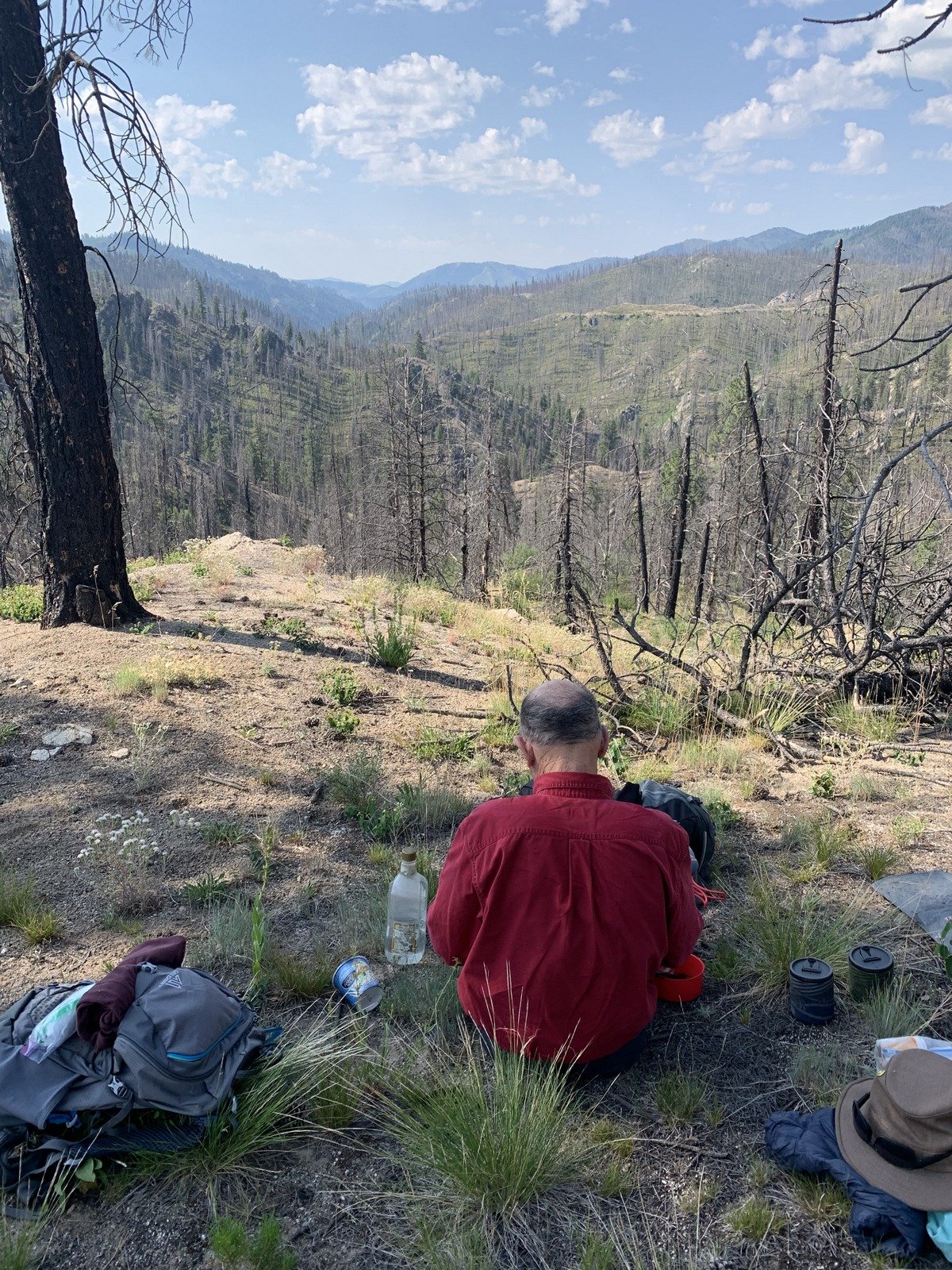 We continued around a small hill until finding ourselves again on a 2-track, well maybe more of a road considering its condition (FR 025M). Continuing thereon for 1.2 miles, the road took a downhill turn; we continued on somewhat of a ridge, finding another 2-track, until we reached an overlook, down upon the Crooked River. Here we stopped for our mid-hike break/lunch, then retraced our steps for 3/4 of a mile, then took a ‘Y’ on the road to the right and back to the junction. Here we chose to head downhill in the valley rather than retrace our track back to the campground. This was most pleasant (‘tho without a discernible trail), with green plants all around (tho’ among many dead trees).
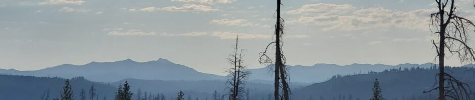
 This was a good hike, through territory new to us. ‘Tho marred by the many dead and down trees (fire and beetle kill it appeared), the views especially to the horizon were great. (Note: there are other trails starting at the Campground, most longer than this Valley Wagon Trail.
Highlight
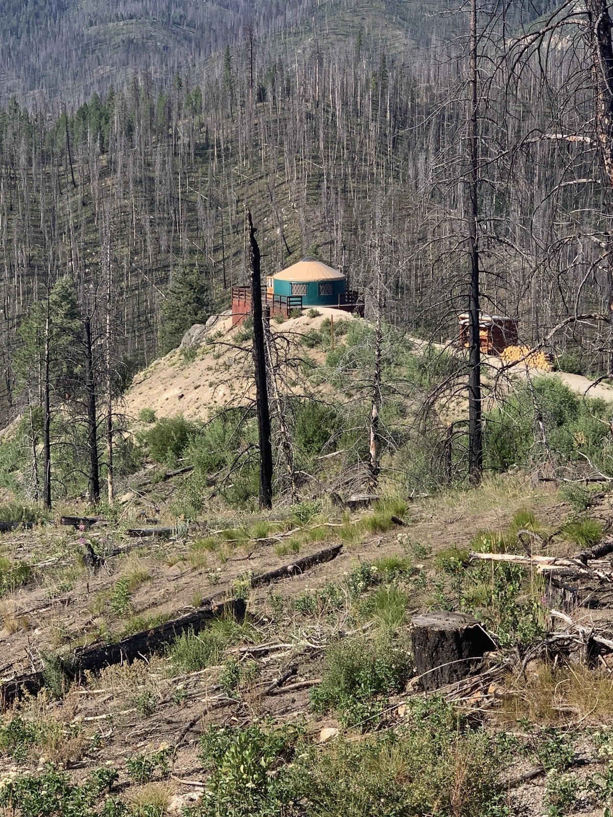
On the way towards the overlook for our mid-hike break, we saw a yurt placed prominently on an overlook, also with a view down to the Crooked River. A bit of research: one of many available for rent from the Idaho Sate Parks, summer (fishing and hiking) and winter (skiing). It would be a great getaway.
Statistics
Total Distance: 4.3 miles
Elevation: start 5,255 ft, maximum 5,512 ft, minimum 5,384 ft
Gross gain: 128 ft. Aggregate ascending 771 ft, descending 771 ft
Maximum slope: 26% ascending, 25% descending, 6.1% average
Duration: 4:19
| GPS Track Files for Download | |
197 Downloads | |
|---|---|
184 Downloads | |
If you haven’t explored these hiking tracks with Google Earth, I urge you to try it. With the virtual 3-dimensional presentation, achieved by panning and tilting the view, you can get a much better idea of the hikes and terrain than you can get from the screenshot above. For some ideas, check out Using Google Earth Track Files.
Related Posts
References and Resources
AllTrails: Valley Wagon Trail
Edna Creek – Valley Wagon to Yurt
Recreation.gov: Edna Creek Campground
Idaho Campground Review: Edna Creek Campground
Idaho State Parks: Rocky Ridge Backcountry Yurt


