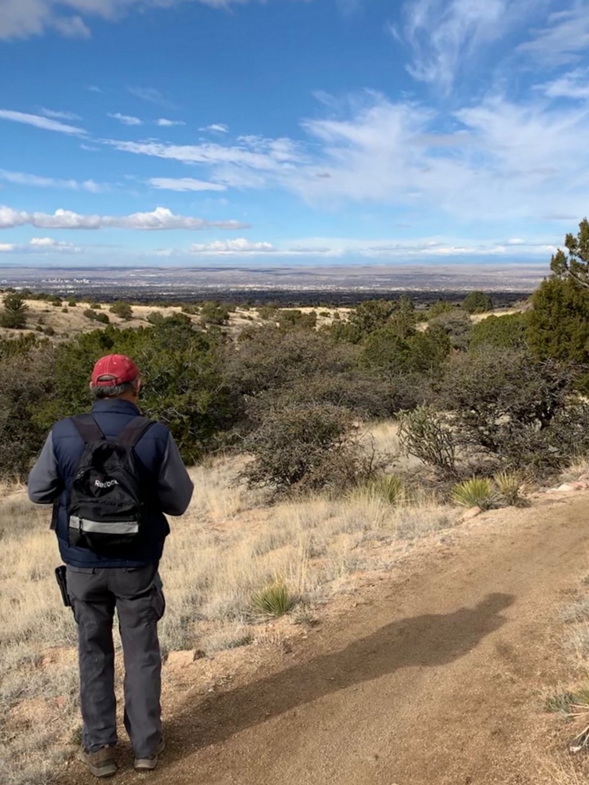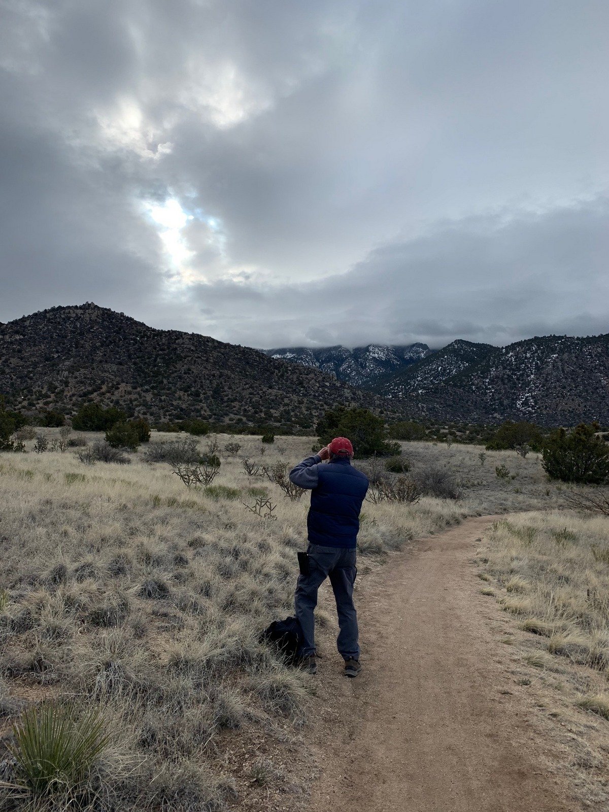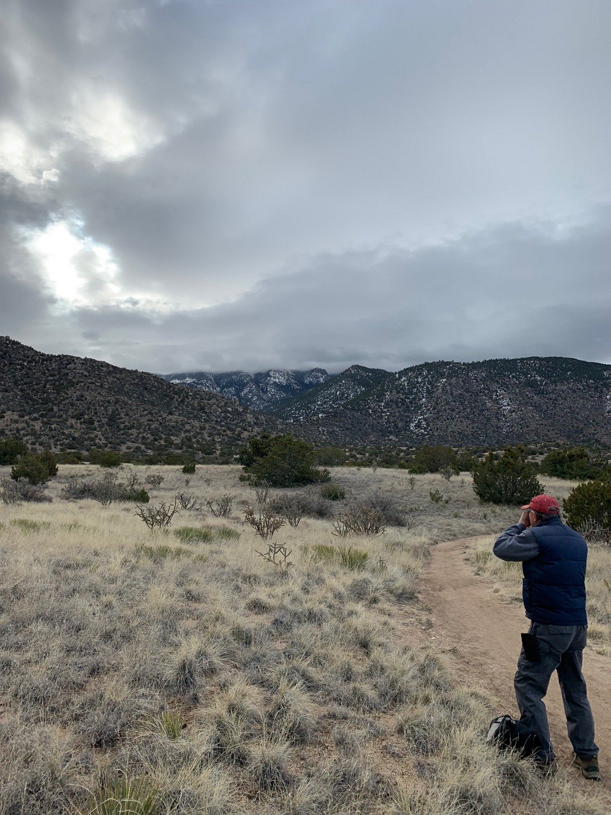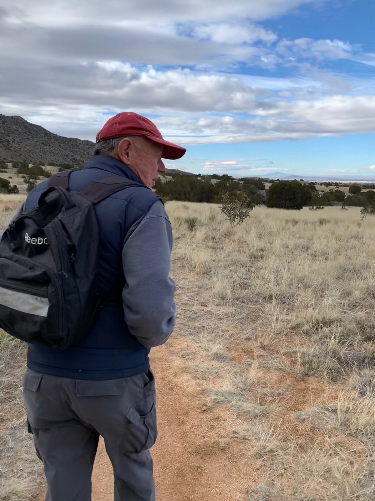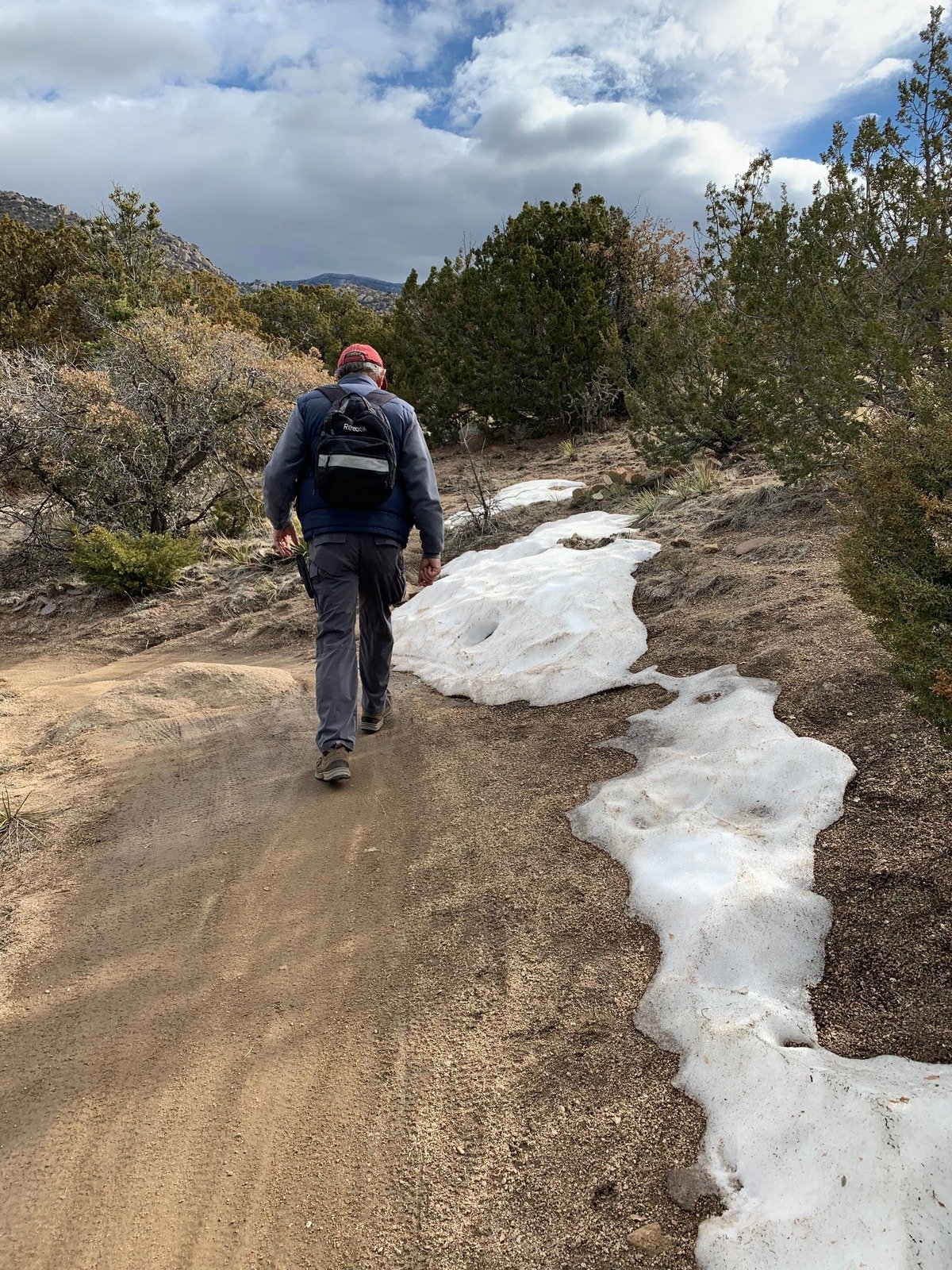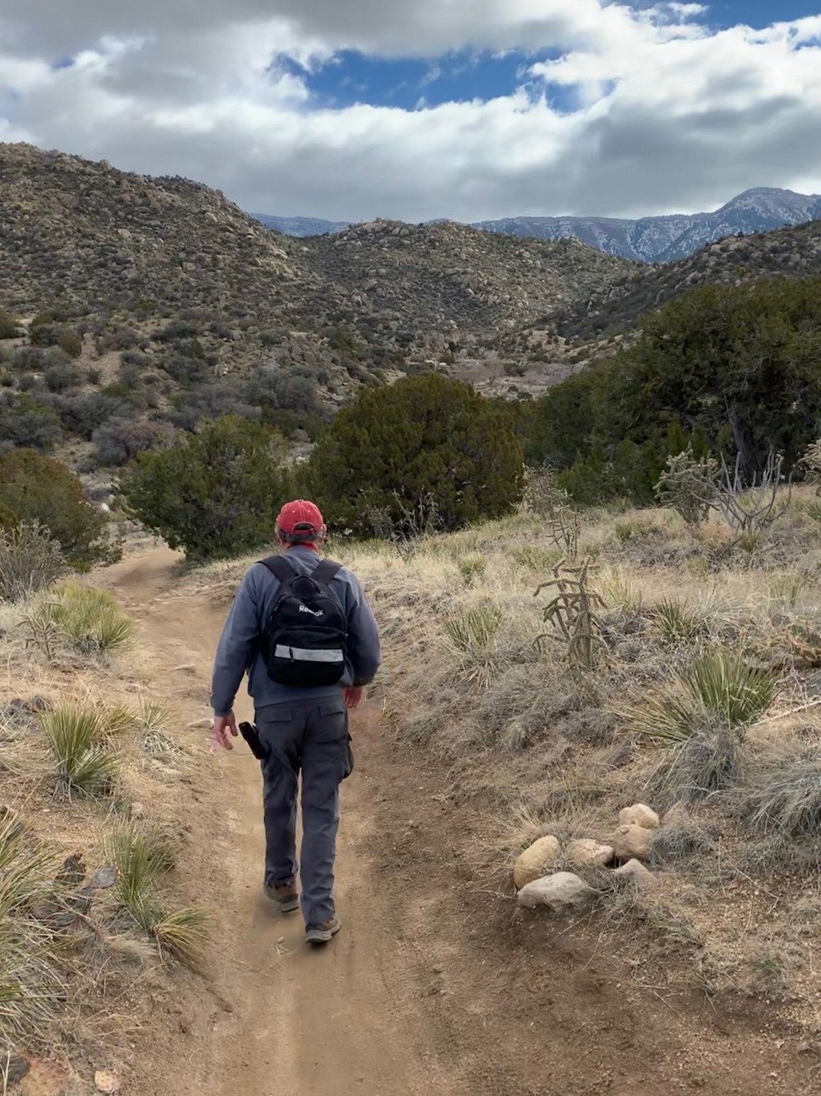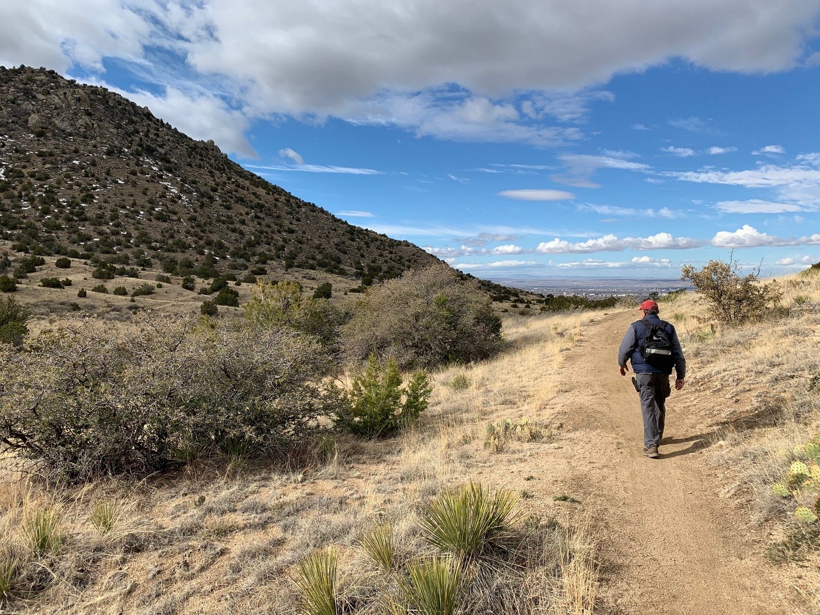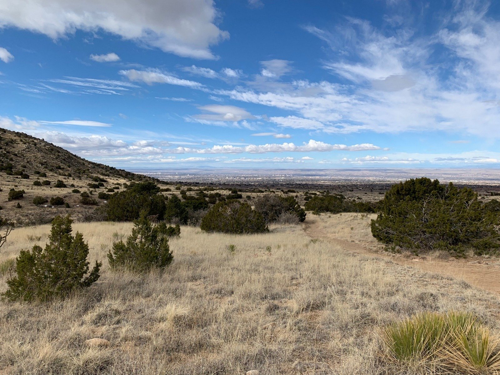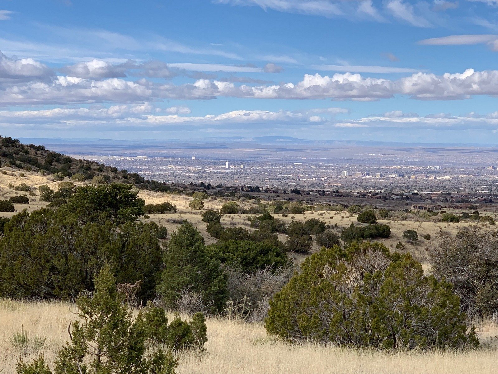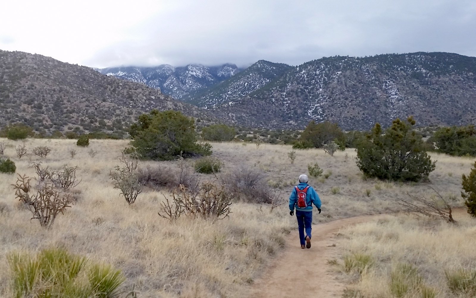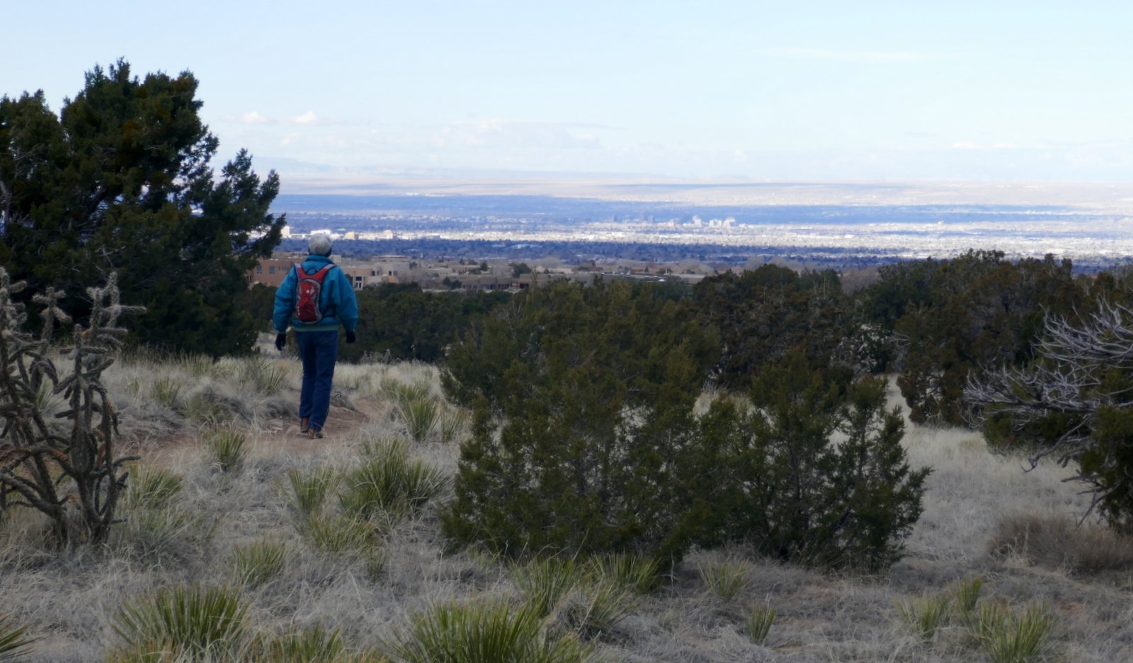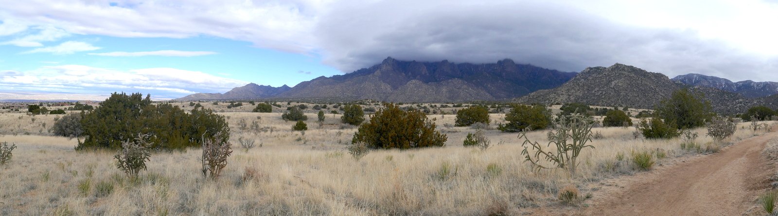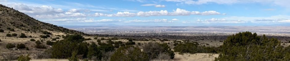
Pat & I started early, breakfast at Flying Star on our way to Albuquerque’s wonderful Elena Gallegos Open Space. ‘Tis close to the city, yet it is truly Open Spaces, giving one the feeling of being away from the city and close to the Sandia Mountains. In years past we’ve hiked numerous times within the Open Spaces and through it on our way to other hikes -into- the Sandias, but all some time back. ‘Tis nice to return (and to explore trails going south where we had not gone before).
We brought a map (pdf) which was good to get us started. We chose trails that would give us more than 3 miles and finish within 2 hours. As you can see, it was somewhat longer but we made the 2 hours. Like all trails, most are well used and present a comfortable track. Going transverse to the arroyos, the trails present some ups and downs; we welcomed even that small elevation gain to prepare us for more to come this spring.
The Hike
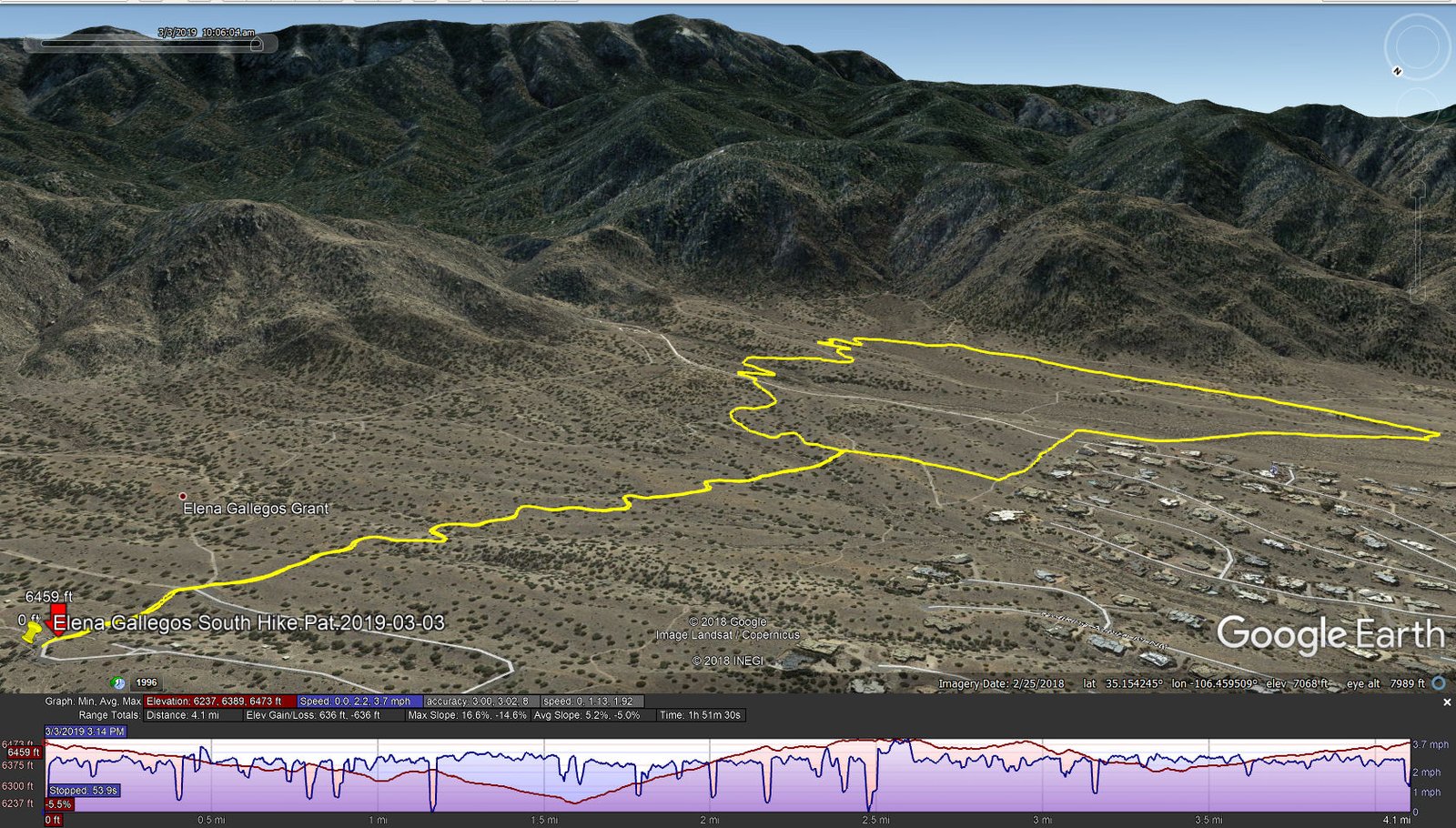
Elena Gallegos South Hike.Pat.2019-03-03
We headed south on trail Trail 366 – easy to follow. But at the intersection with Trails 366, 365, and 305a there were more tracks than trails marked on the map. In fact, throughout the hike we encountered “other trails” which we could not identify on the map nor on the GPS. So we would choose one and proceed. After some confusion, we did find ourselves on Trail 305; then in the interest of time crossed back to Trail 366 via Trail 305a.
The people of Albuquerque are very fortunate to have such marvelous Open Spaces at the edge of the city, between the city and the Sandia Mountains.
Additional notes: There is a fee for entrance to Elena Gallegos: $2 on weekends, 1$ weekdays, and $30 for an annual pass. It is very popular, for walkers, hikers, and mountain bikes, so one must be on the alert for folks coming from either direction.
Statistics
Total Distance: 4.1 miles
Elevation: start 6,459 ft, maximum 6,473 ft, minimum 6,237 ft
Gross gain: 222 ft. Aggregate ascending 636 ft, descending 636 ft
Maximum slope: 17% ascending, 15% descending, 5.0% average
Duration: 1:52
| GPS Track Files for Download | |
223 Downloads | |
|---|---|
0 Downloads | |
I urge you to explore our hiking tracks with Google Earth. With the virtual 3-dimensional presentation, achieved by panning and tilting the view, you can get a much better idea of the hikes and terrain than you can get from the 2-dimensional screenshot above. For assistance: Using Google Earth Track Files.
References
Albuquerque Open Space:
City of Albuquerque: Elena Gallegos Open Space
Foothills Trail Map – Elena Gallegos (pdf)
NMTS: The “Foothills” Mountain Bike Trail System (with links to details)
AllTrails: Best Trails in Elena Gallegos Picnic Area
(a map that expands to show clearly the many marked trails)