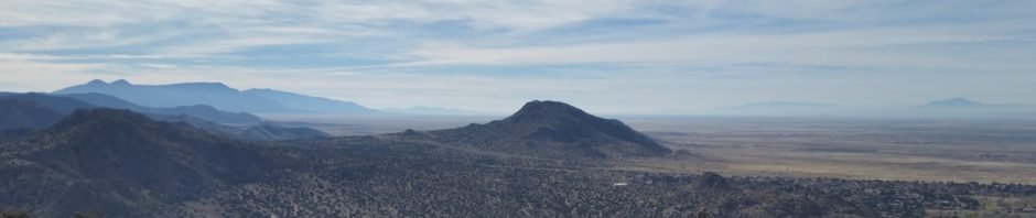
Eye of the Sandias is a trail very close to Albuquerque, with the trailhead at the eastern end of Copper Road. ‘Tis an area of numerous trails, well used by neighbors and visitors to this part of Albuquerque’s Open Space. Many of the trails are in this area are quite easy, with solid sand/gravel surface, none to some elevation gain, and only a few steep sections. The Eye of the Sandia trail is not marked on the Open Space maps, but makes a great extension of those trails. And .. the namesake for the trial is an “eye” painted on a rock at the top of the trail. The views of the city are awesome (although it is close to I-40 so one can hear the noise of the highway).
The Hike
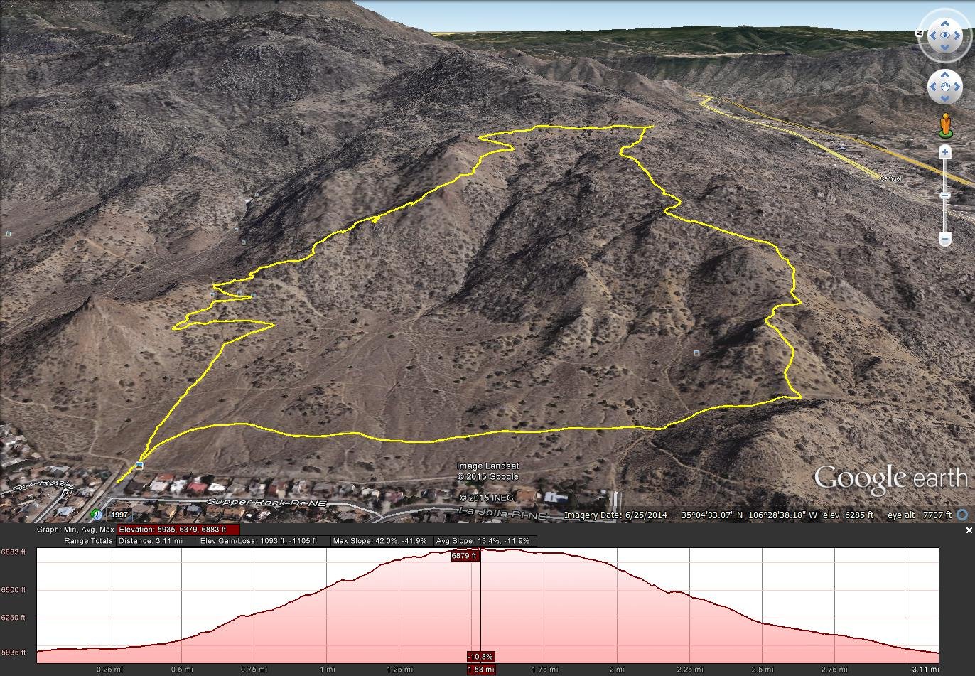
Eye of the Sandias Hike.Marlin.2015-12-10
Statistics
Total Distance: 3.11 miles
Elevation: start 5,935 ft, maximum 6,883 ft, minimum 5,935 ft
Gross gain: 948 ft. Aggregate ascending 1,093 ft, descending 1,105 ft
Maximum slope: 42% ascending, 42% descending, 13% average
Duration:
| GPS Track Files for Download | |
265 Downloads | |
|---|---|
374 Downloads | |
I urge you to explore our hiking tracks with Google Earth. With the virtual 3-dimensional presentation, achieved by panning and tilting the view, you can get a much better idea of the hikes and terrain than you can get from the 2-dimensional screenshot above. For assistance: Using Google Earth Track Files.
References
Albuquerque Open Space:
Sandia Foothills Open Space
Foothills Trail Map (pdf)
Foothills Trail Map – Copper (pdf)
SummitPost.org: Eye of the Sandias Trail
AllTrails: Eye of the Sandias
Dog of the Desert: Eye of the Sandias
HikeyHikey!: Hiking Albuquerque’s Southern Sandia Mountains: Eye of the Sandias