Introduction
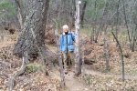
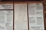
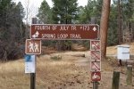
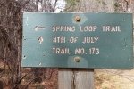
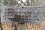
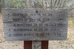
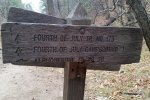
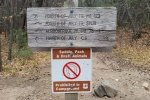
‘Tis our plan on our visits to the cabin at El Cerrito to take out a day during our stay and hike in the Manzanos. On this trip we headed to the Fourth of July Campground and chose the Fourth of July Trail. One can park at a trailhead a half mile short of the campground, but we pressed on the the campground. The campground itself is closed, so people must park at the entrance, then hike through the campground to the trailhead. There are ample signs to keep one on track, at the trailhead and at major waypoints along the trail.
The Hike
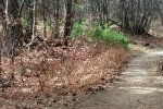
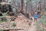
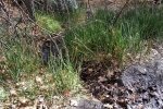
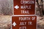
The trail makes a steady ascent from parking, through the campground, and on up the canyon. About a mile into the hike we came upon the Fourth of July Spring. Here we found some 100 yards of occasionally damp trail, a small stream of water along which grew a jointed marsh; unusual to find in this arid climate. Along the way we passed junctions to the Spring Loop Trail (a short one), the Albuquerque Trail, Fourth of July Trail Spur (a good loop back to the main trailhead outside the campground), and near the end of our hike the Cerro Blanco Trail. We were tempted to continue on the Cerro Blanco, anticipating that it would take us to the crest of the mountains. But we were running out of time, so we headed back to the truck. Not having stopped of a “mid-hike” break, we made coffee on the tailgate before heading back to Albuquerque.
Highlight
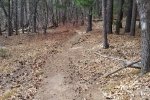
We will return to this area in the future – there are many options for out-and-back hikes as well as loops. And the trails are in good condition.
Statistics
Total Distance: 3.72 miles
Elevation: start 7,506 ft, maximum 8,424 ft, minimum 7,506 ft
Gross gain: 918 ft. Aggregate ascending 1,278 ft, descending 1,277 ft
Maximum slope: 47% ascending, 44% descending, 11% average
Duration: 2:24
| GPS Track Files for Download | |
275 Downloads |
|
|---|---|
115 Downloads |
|


