Posted in March 2019. One of our early hikes, checking out trails in Tijeras Canyon on the south end of the Sandia Mountains. Haven’t hiked this trail since 2014 – it’s time to do it again.
The Hike
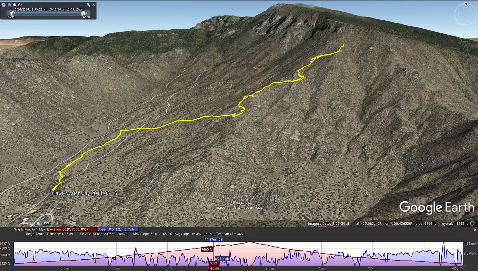
Hawk Watch.Jay.2014-03-16
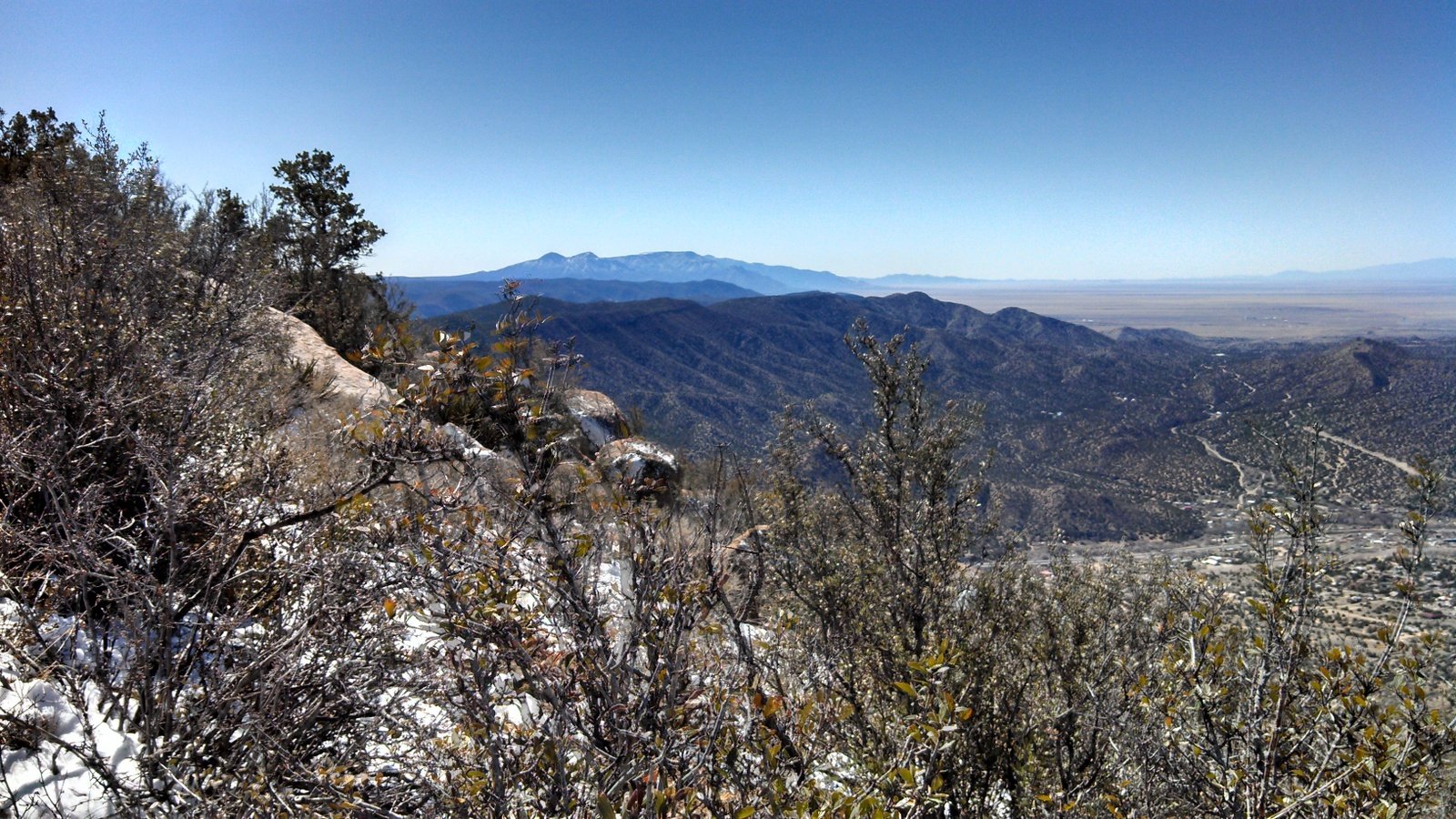
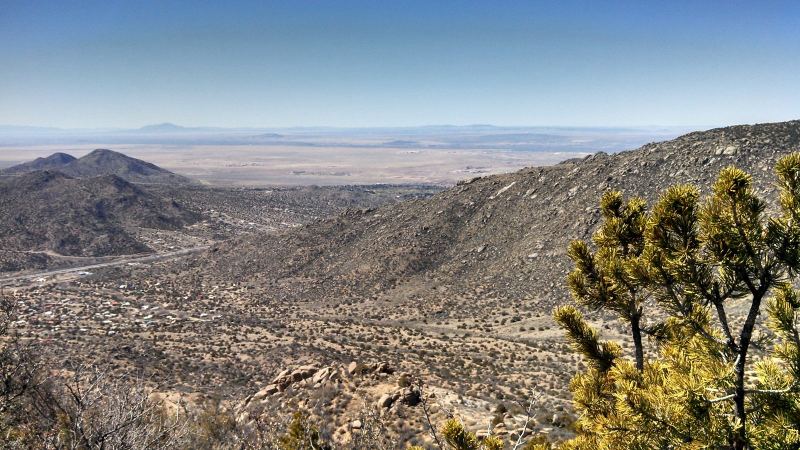
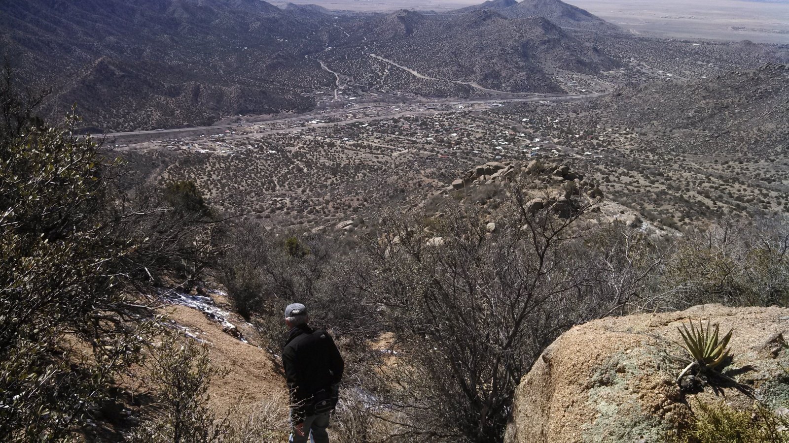
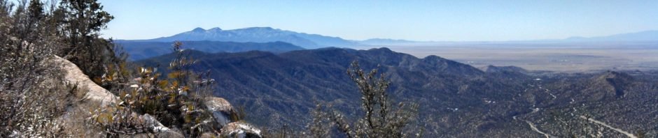
Hawk Watch Trail makes for a good hike, close to Albuquerque and easy to get to the trailhead. It is great in the winter – it is in full sun so snow melts quickly and it will be warm on chilly days; then again, not so good in the summer because it will be hot. The trail is well used, so the surface is good – a bit rocky in some places – and as you can see from the statistics it give one a good elevation gain at a fairly steep slope. But the views are great as one gets up high.
Statistics
Total Distance: 4.38 miles
Elevation: start 6,322 ft, maximum 8,037 ft, minimum 6,320 ft
Gross gain: 1,717 ft. Aggregate ascending 2,095 ft, descending 2,096 ft
Maximum slope: 51% ascending, 45% descending, 16.3% average
Duration: 3:48
| GPS Track Files for Download | |
187 Downloads | |
|---|---|
221 Downloads | |
I urge you to explore our hiking tracks with Google Earth. With the virtual 3-dimensional presentation, achieved by panning and tilting the view, you can get a much better idea of the hikes and terrain than you can get from the 2-dimensional screenshot above. For assistance: Using Google Earth Track Files.
References
USDA Forest Service: Hawk Watch Trail 215
Hawk Watch International: Sandia Mountains, NM HawkWatch
ASCHG: Hawk Watch Hike
New Mexico Meanders: 2017-02-25 South Sandia Peak Loop Hike
AllTrails: Hawkwatch Trail SummitPost: Hawk Watch Trail