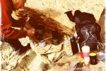
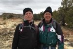
A sunny but a bit chilly day, with Jay and his friend Riha. The Ojito Wilderness is great for winter-time hiking, too hot in the summer.
The Hike

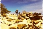
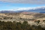
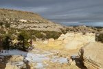
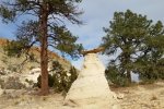
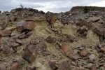
Hoodoo Pines.JayRiha.2017-01-29 – In the Ojito Wilderness, below Bernalillito Mesa; on the horizon, one can see Mesa Prieta on the left and Cabezon on the right.
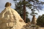
We think we are heading towards the Dinosaur Dig but found ourselves going past Hoodoo Pines and on to a point below the end of Bernalillito Mesa (see our previous hike Bernalillito Mesa Top Hike – 12/12/2016). It is interesting to look at the mesa that we hiked on the top, now from below.
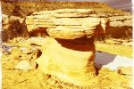
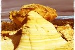
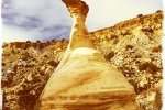
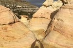
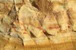
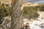
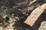
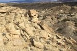
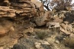
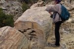
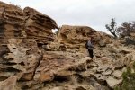
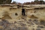
The Ojito Wilderness is rife with many geological formations. I’ve spoken of our discoveries of petrified wood on other hikes, but there are so many other formations, so check out our photos. Someday we hope to be able to accompany a geologist on one of these excursions, and learn more about the origins of them.
Statistics
Total Distance: 3.20 miles
Elevation: 5,797 ft start, 5,855 ft maximum, 5,791 ft minimum
Gross gain: 64 ft. Aggregate ascending 492 ft, descending: 494 ft
Maximum slope: 31% ascending, 29% descending, 5% average
Duration: 3:18
| GPS Track Files for Download | |
203 Downloads |
|
|---|---|
151 Downloads |
|
I urge you to explore our hiking tracks with Google Earth. With the virtual 3-dimensional presentation, achieved by panning and tilting the view, you can get a much better idea of the hikes and terrain than you can get from the 2-dimensional screenshot above. For assistance: Using Google Earth Track Files.
Related Posts (in the vicinity)
References
ASCHG: Dino Dig And Hoodoo Pines
New Mexico Birder: Hoodoo Pines Trail – Ojito Wilderness
Some great photos.
BLM: Ojito Wilderness

