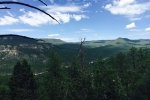
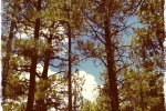
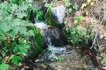
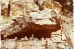
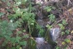
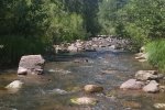
This was a memorable hike. The goal was to visit the Kwastiyukwa (Great Footprint) Ruins on Holiday Mesa. We made a valiant try, but with the elevation gain, distance, and summer heat we gave out in the face of another hill climb and half mile distance. We’ll try again.
The Hike
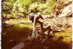
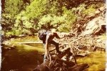
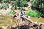
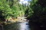
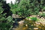
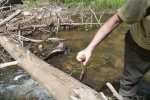
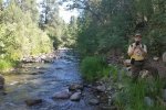
The first challenge to overcome was getting across the Rio Guadalupe without soaking our boots. We searched upstream and down and finally found a logjam we could use as a bridge. Once across the Rio, we could follow a nice two-track from Canyon Cebollita up on to Holiday Mesa. On the mesa, using the GPS and topo map, noticing that the two-track took a bit swing away from our goal, we made a shortcut and rejoined the two track. Hiking was fairly on the mesa, generally level and flat, but we were getting worn out mostly from the heat, and we hadn’t hiked this distance before. When faced with crossing another arroyo and climbing back up the other side, we decided have our mid-hike break, then, short of our goal, call it a day and return to parking.
Statistics
Total Distance: 7.63 miles
Elevation: start 6,604 ft, maximum 7,668 ft, minimum 6,604 ft
Gross gain: 1,064 ft. Aggregate ascending 1,517 ft, descending 1,521 ft
Maximum slope: 30% ascending, 28% descending, 7% average
Duration: 4:46
| GPS Track Files for Download | |
201 Downloads |
|
|---|---|
229 Downloads |
|
If you haven’t explored these hiking tracks with Google Earth, I urge you to try it. With the virtual 3-dimensional presentation, achieved by panning and tilting the view, you can get a much better idea of the hikes and terrain than you can get from the screenshot above. For some ideas, check out Using Google Earth Track Files.
References:
ondafringe: Day Hike: Stable Mesa to Kiva Ruins~Jemez Mountains
Conquest and Catastrophe: Exerpt from book
OtherHand.org: Kwastiyukwa ruins
ASCHG: Holiday Mesa to Giant Footprint Ruin (added 2025)
Dennis R. Holloway, Architect: Kwastiyukwa (“Giant Footprint Ruin”) (added 2025)


