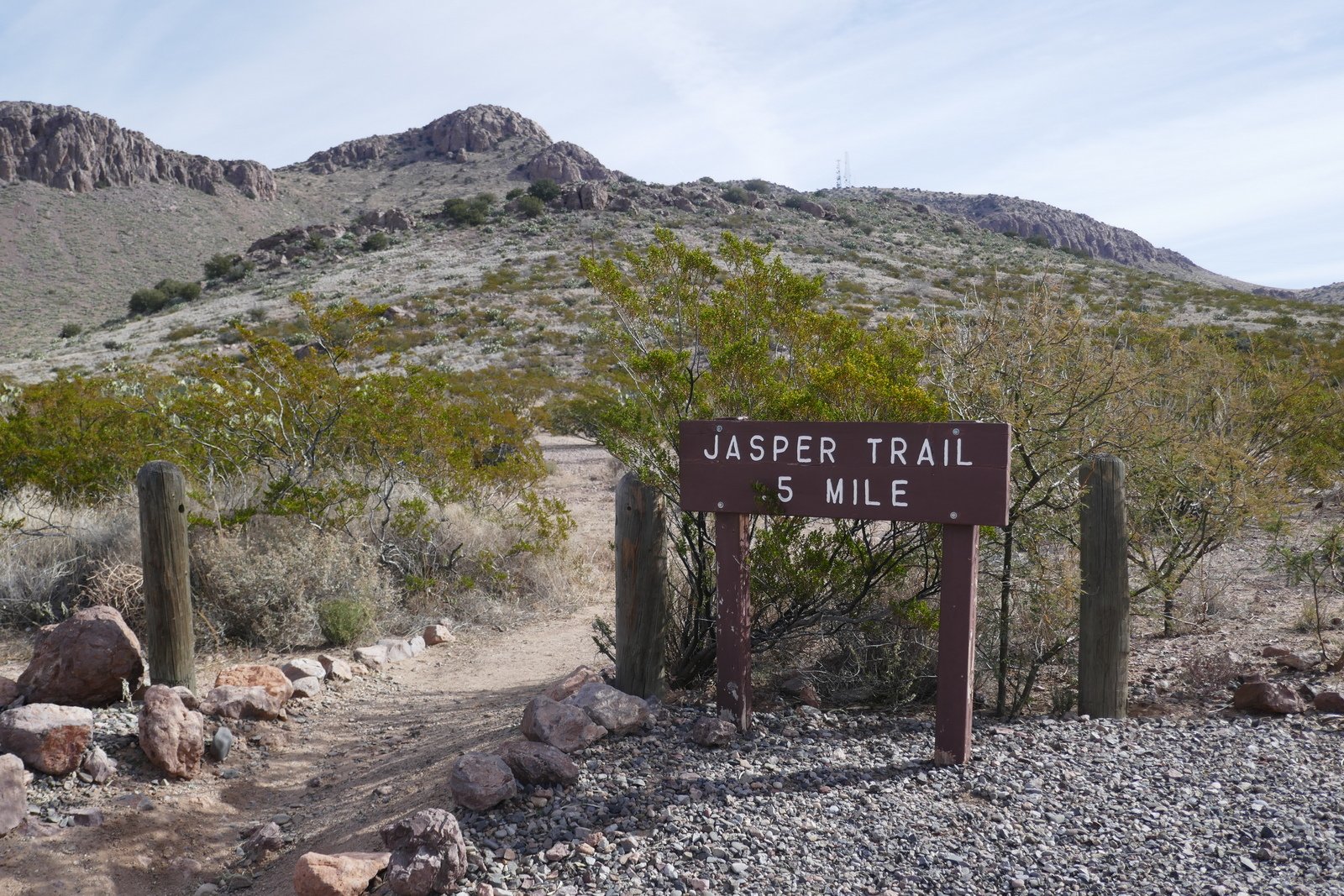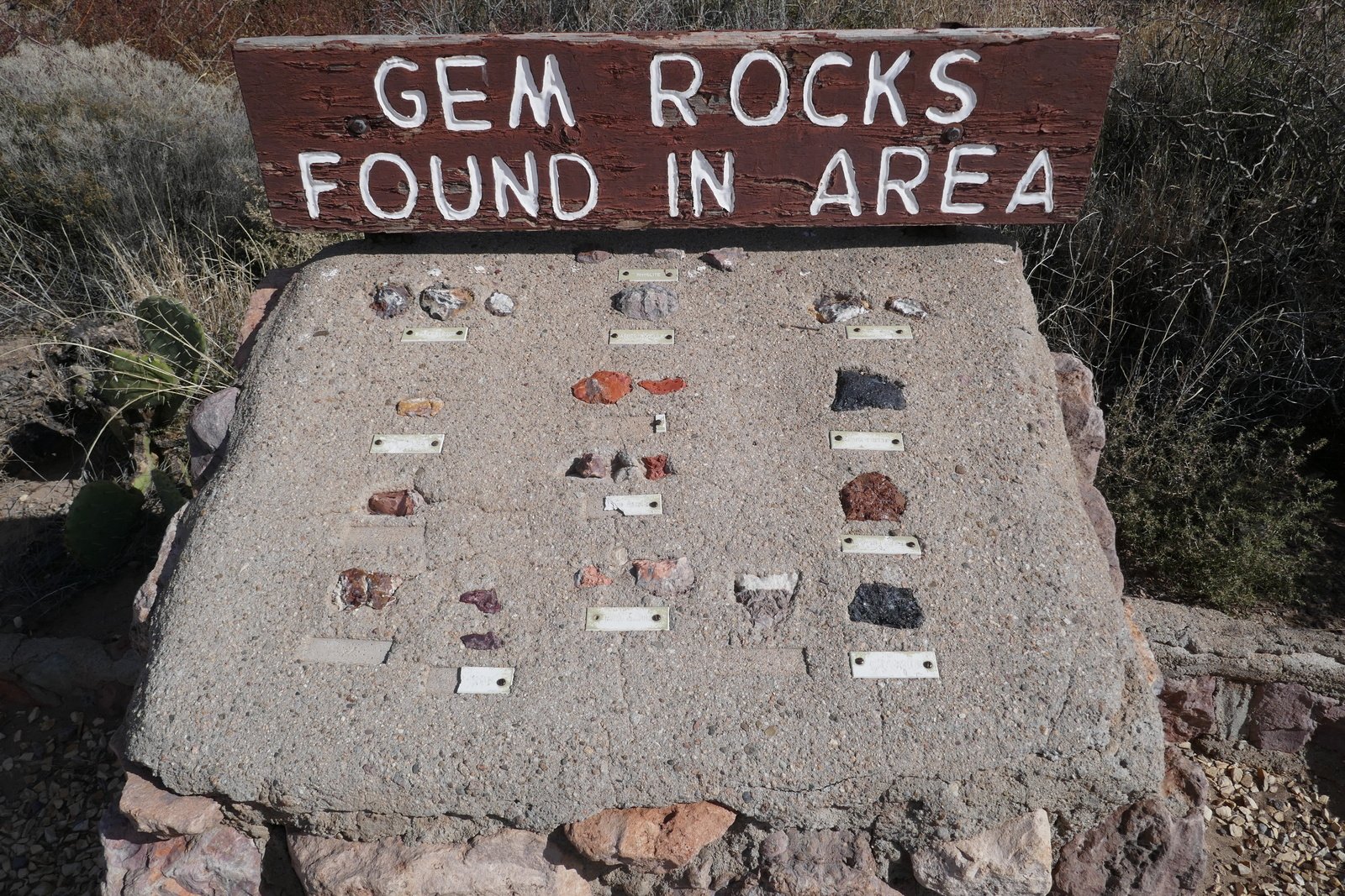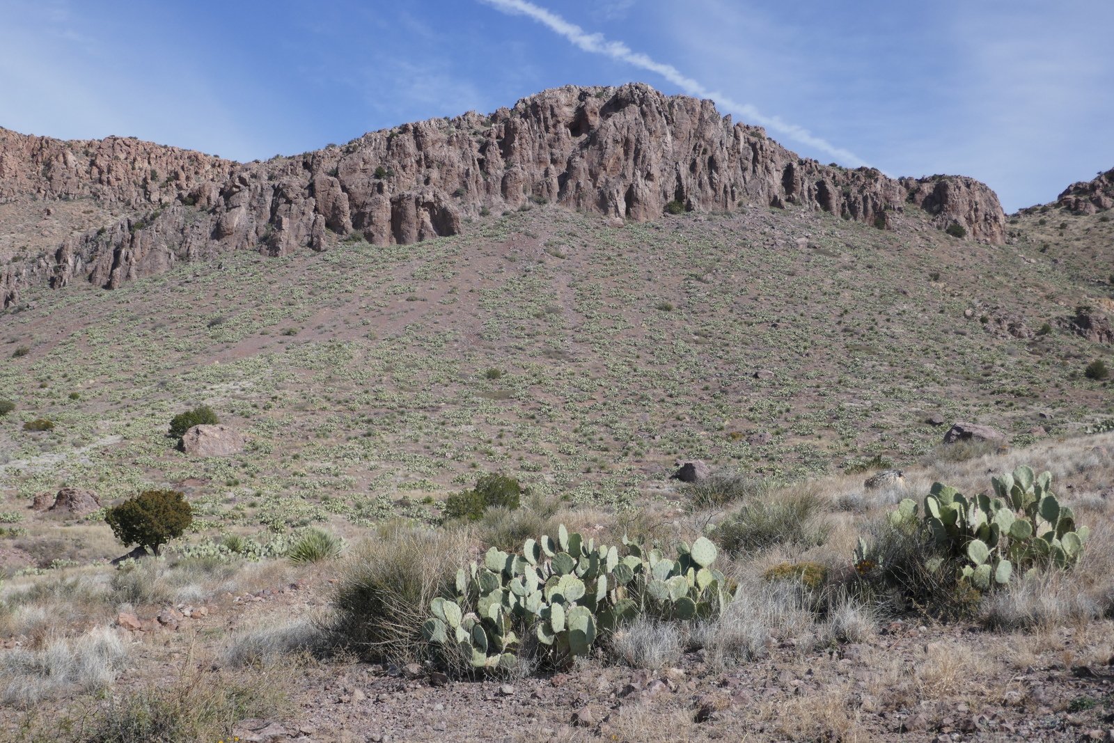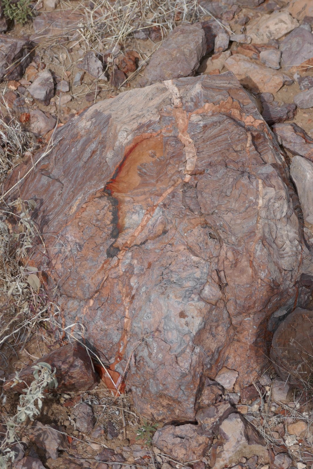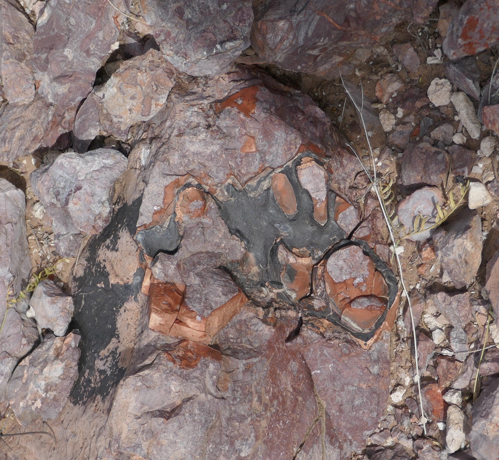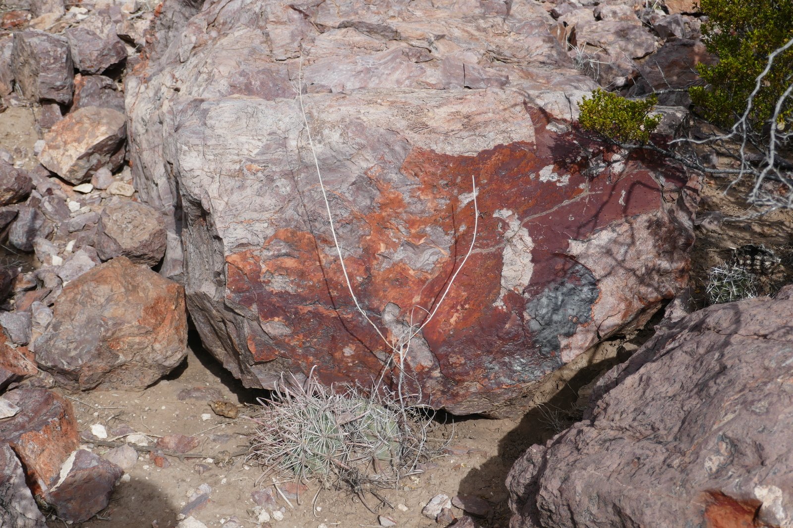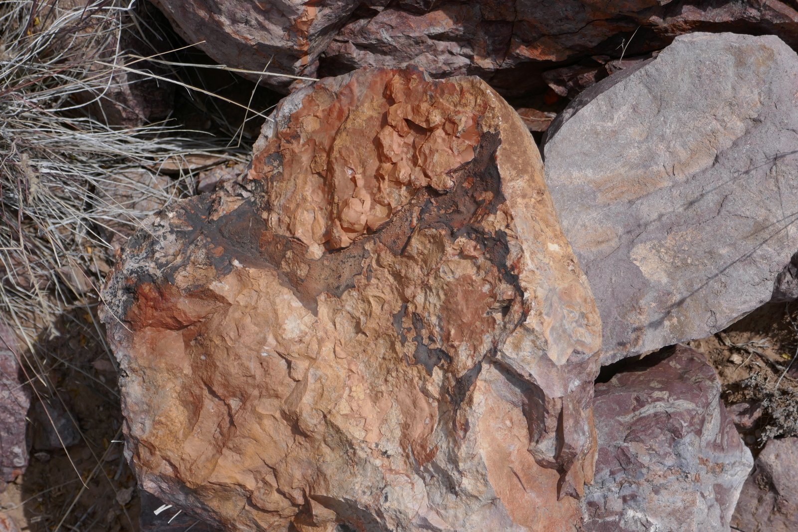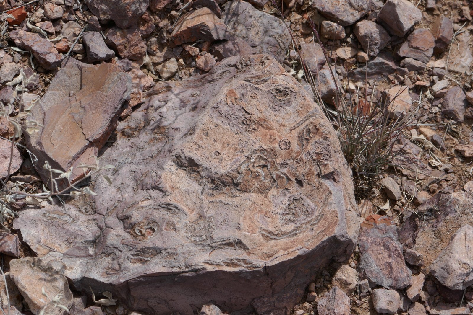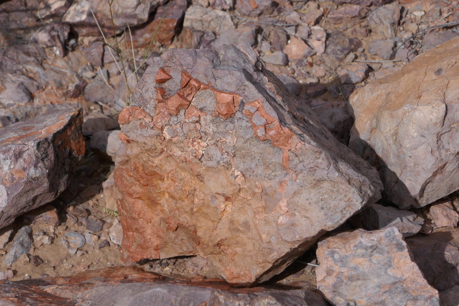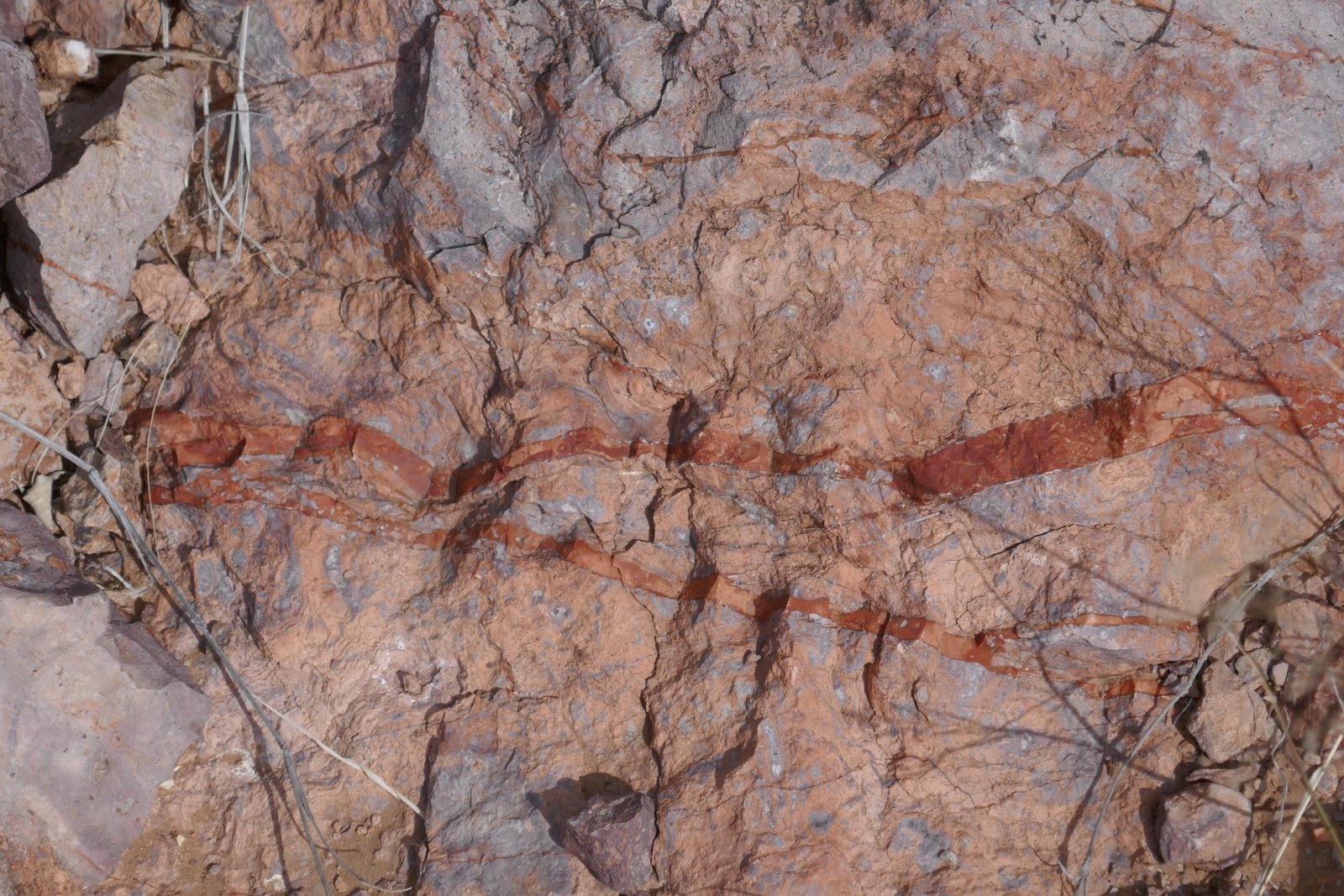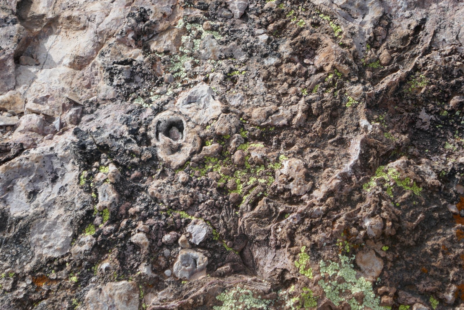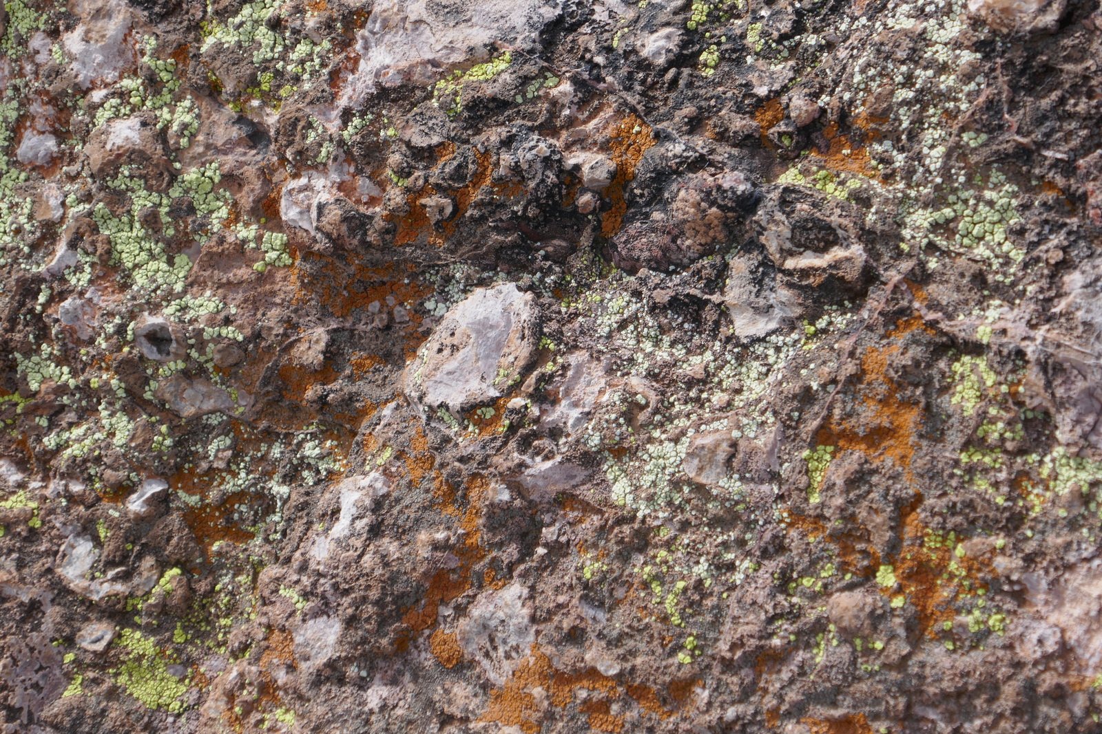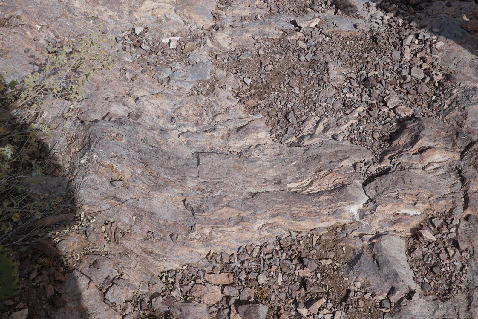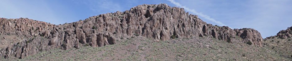
This place is all about The Rocks. We stopped for an overnight returning from Tucson to Albuquerque, chose NM’s Rockhound State Park and Campground – stay the night and do some hiking the next morning. But because of the fascination with the myriad of types of rocks, the “hike” was more of a “walkabout”, while we admired the many colors, shapes, and textures, and picked up many to take home for further appreciation. Check out the photos below for some that were photogenic; there are dozens more that appeal to the eye but can’t be appreciated through photographs, at least not through my skill as a photographer.
The Walkabout

Jasper Trail Walkabout.Pat.2018-11-26
Statistics
Total Distance: 1.17 miles
Elevation: start 4,585 ft, maximum 4,689 ft, minimum 4,588 ft
Gross gain: 104 ft. Aggregate ascending 232 ft, descending 220 ft
Maximum slope: 24% ascending, 21% descending, 6.2% average
Duration: 1:54
| GPS Track Files for Download | |
218 Downloads | |
|---|---|
327 Downloads | |
I urge you to explore our hiking tracks with Google Earth. With the virtual 3-dimensional presentation, achieved by panning and tilting the view, you can get a much better idea of the hikes and terrain than you can get from the 2-dimensional screenshot above. For assistance: Using Google Earth Track Files.
References
New Mexico State Parks: Rockhound State Park
NM Bureau of Geology & Mineral Resources: Rock Hound State Park and …
American Southwest: Rock Hound State Park
Desert USA: Rockhound State Park
Explore NM: Rockhound State Park
Love Your RV: Camping Review of Rock Hound State Park in New Mexico