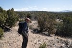
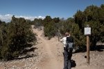
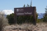
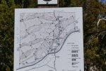
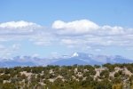
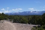
We sought a trail in the Santa Fe area, but not in the Sangre de Christos – still lots of snow even at middle elevations. We decided on explore Santa Fe’s La Tierra Trails, a web of trails for hiking and biking. Somewhat arbitrarily, we chose the Calabasas Trail.
The Drive In
Access is off of NM 599 (Santa Fe Bypass) about 4 miles south of US 84 – Camino de los Montoyas. Follow this for a mile where you will find a large parking lot on the right. Cross the street to the Calabasas Trailhead.
The Hike
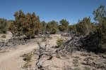
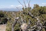
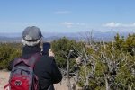
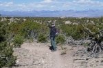
As one would expect for trails suitable for biking, they are wide, sandy, and relatively smooth – easy walking and easy to follow (in spite of the network in La Tierra). Driving by the road that leads to La Tierra Trails, the area appeared to be not very exciting and I suspected it would be heavily used, being so close to Santa Fe. But I was pleasantly surprise – tho’ the trail was ‘plain’ (not much in the way of interesting geology or plant life), the views to the west, across the Rio Grande to the Jemez Mountains, were scenic. The trail was easy going, there was some elevation change, and we saw few hikers or bikers. It’s close and offers a good workout.
Statistics
Total Distance: 3.78 miles
Elevation: start 7,233 ft, maximum 7,233 ft, minimum 6,963 ft
Gross gain: 270 ft. Aggregate ascending 535 ft, descending 634 ft
Maximum slope: 12% ascending, 16% descending, 5.6% average
Duration: 2:14
| GPS Track Files for Download | |
172 Downloads |
|
|---|---|
122 Downloads |
|
If you haven’t explored these hiking tracks with Google Earth, I urge you to try it. With the virtual 3-dimensional presentation, achieved by panning and tilting the view, you can get a much better idea of the hikes and terrain than you can get from the screenshot above. For some ideas, check out Using Google Earth Track Files.
References
City of Santa Fe: La Tierra Trails (pdf)
Santa Fe new Mexican: Trail riders: A trip to Calabassas Trailhead at La Tierra Trails
Broken Spoke: La Tierra Trails (great interactive map)


