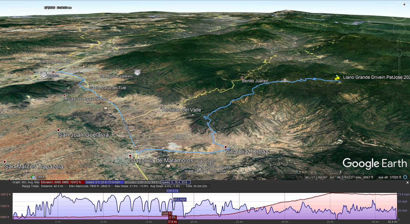
Pat arranged this two day adventure months ago through Expediciones Sierra Norte, the organization who arranges hiking in the Pueblos Mancomunados. Our guide, José, picked us up at our place of lodging in Oaxaca City for the drive to Llano Grande. Passing through Cuajimoloyas, we stopped briefly to leave our overnight bag with the Ecotourism office (we would be staying the night in one of their cabańas). Then it was on to Llano Grande for the hike back to Cuajimoloyas.
The Hike
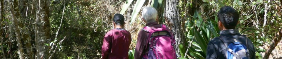
In Llano Grande we met our guide, Miguel, a young man (14 year old) who would be our guide for the hike. It is customary in the Pueblos Mancomunados to engage a guide for any hiking. I understand they want to avoid people becoming lost, and it is of economic benefit for the pueblos. Donning our packs, we set off. Signs welcomed us to the pueblo, to the forest trail, and pointed to other trails out of Llano Grande.
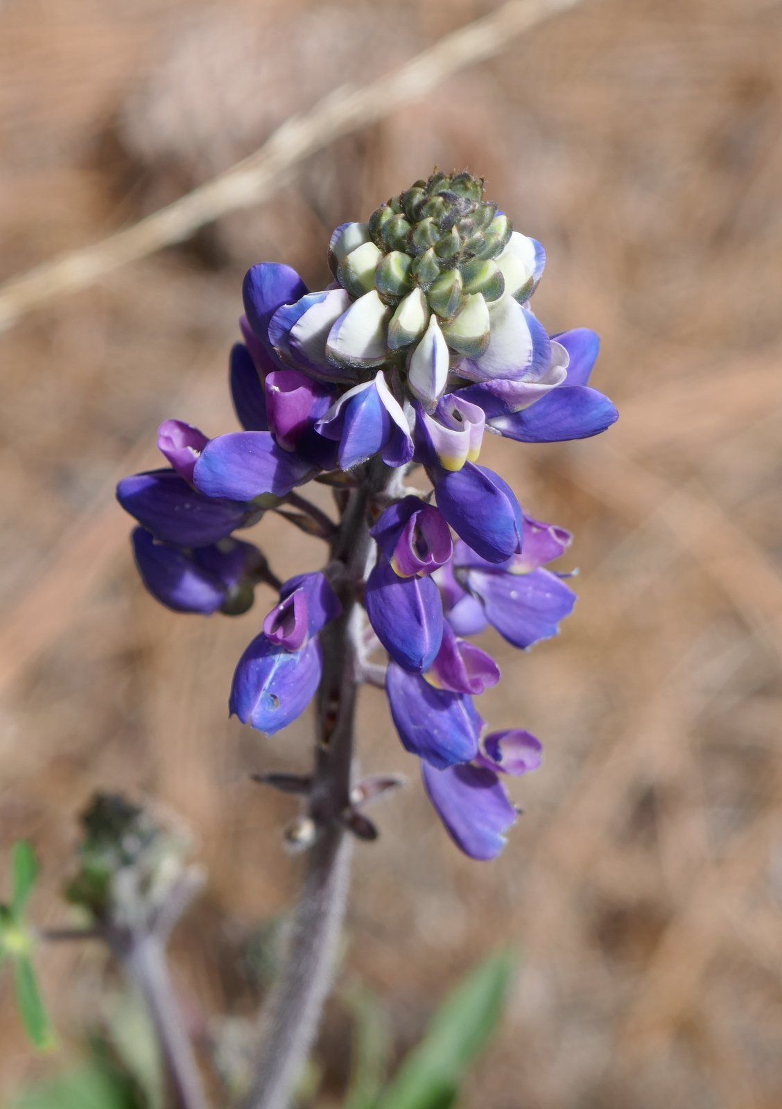
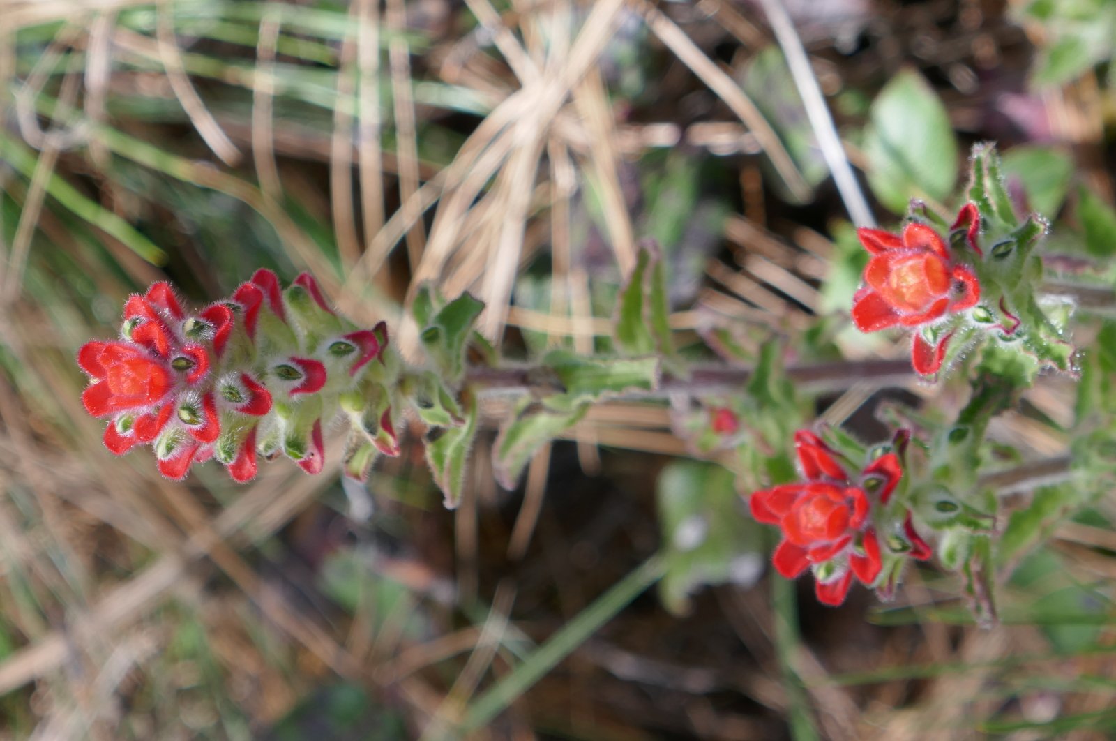
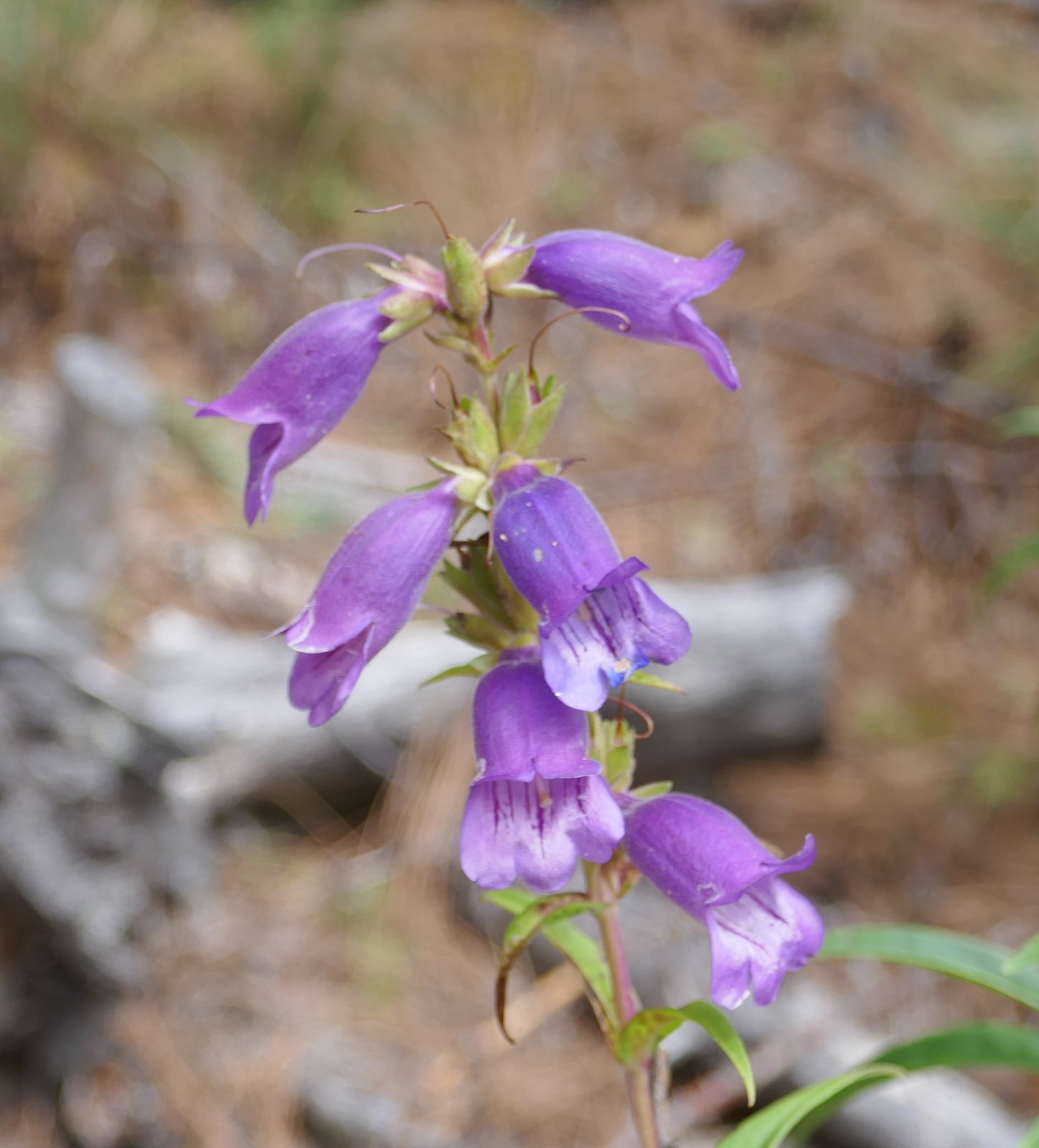
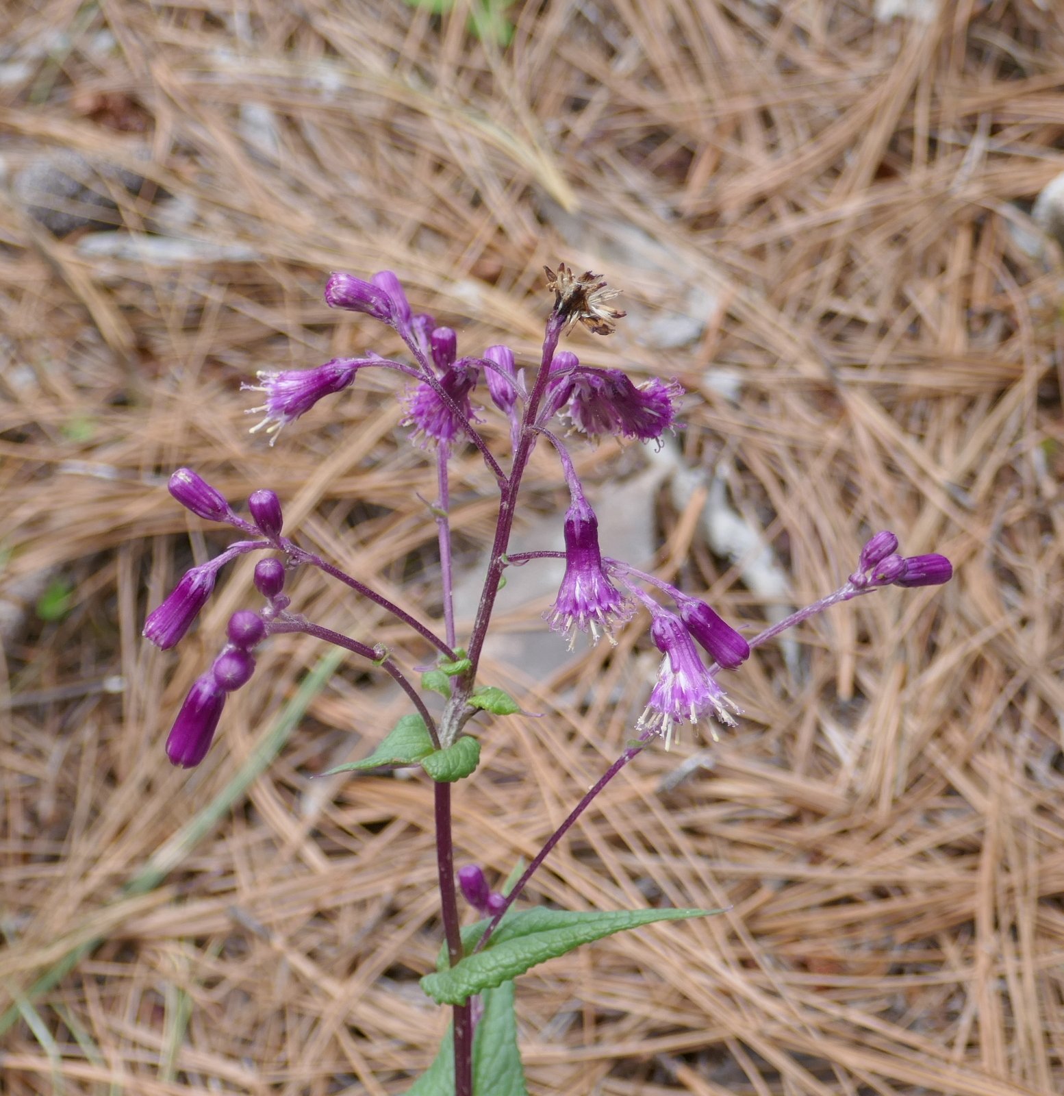
We’ve become familiar with the forest in these parts, but we encounter new experiences on each hike. For examples:
- We passed a number of small fields, some awaiting tillage, some being tilled, some with standing crop of oats, and some harvested. This being the dry season, we could see preparations being made for planting before the rain season of May or June.
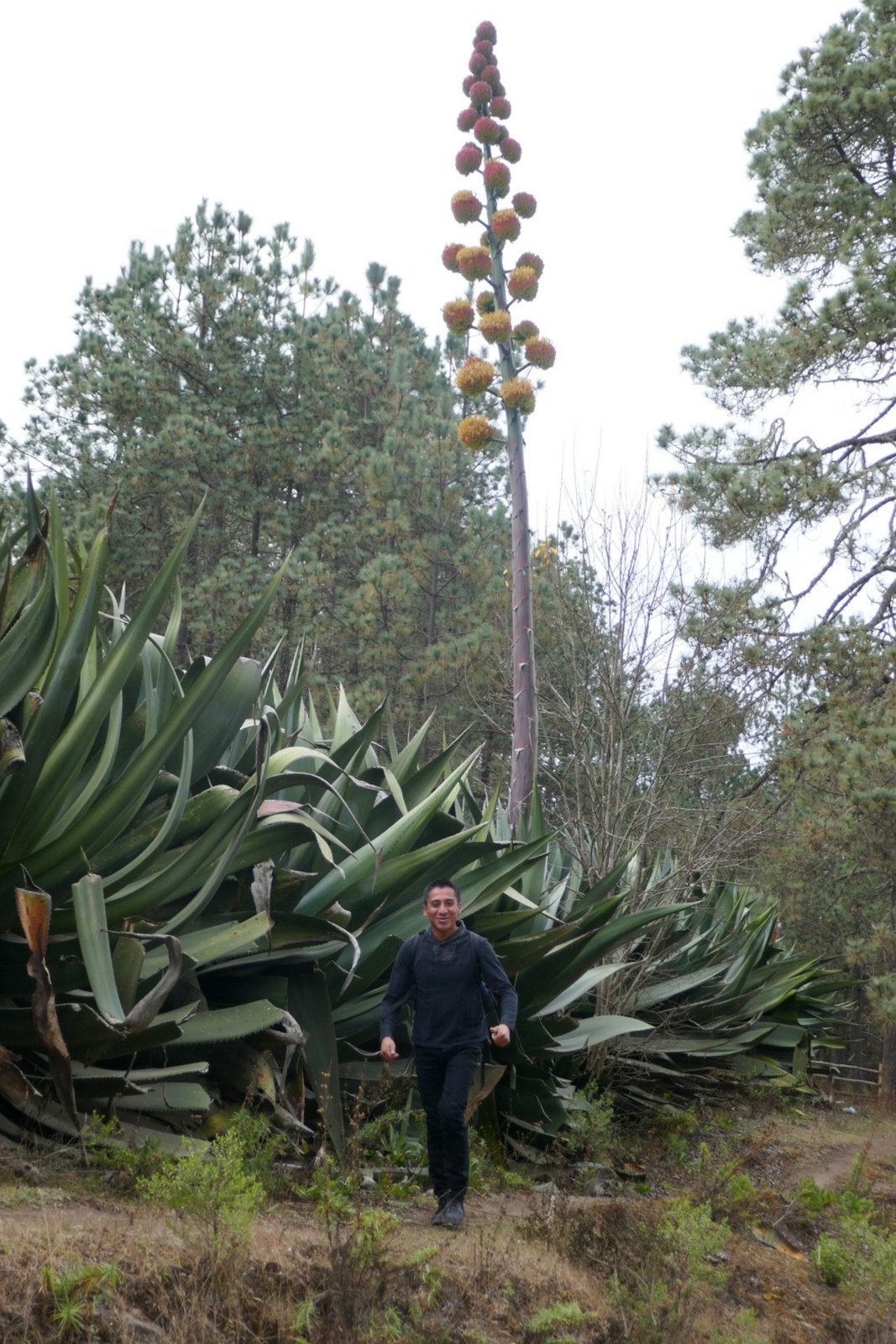
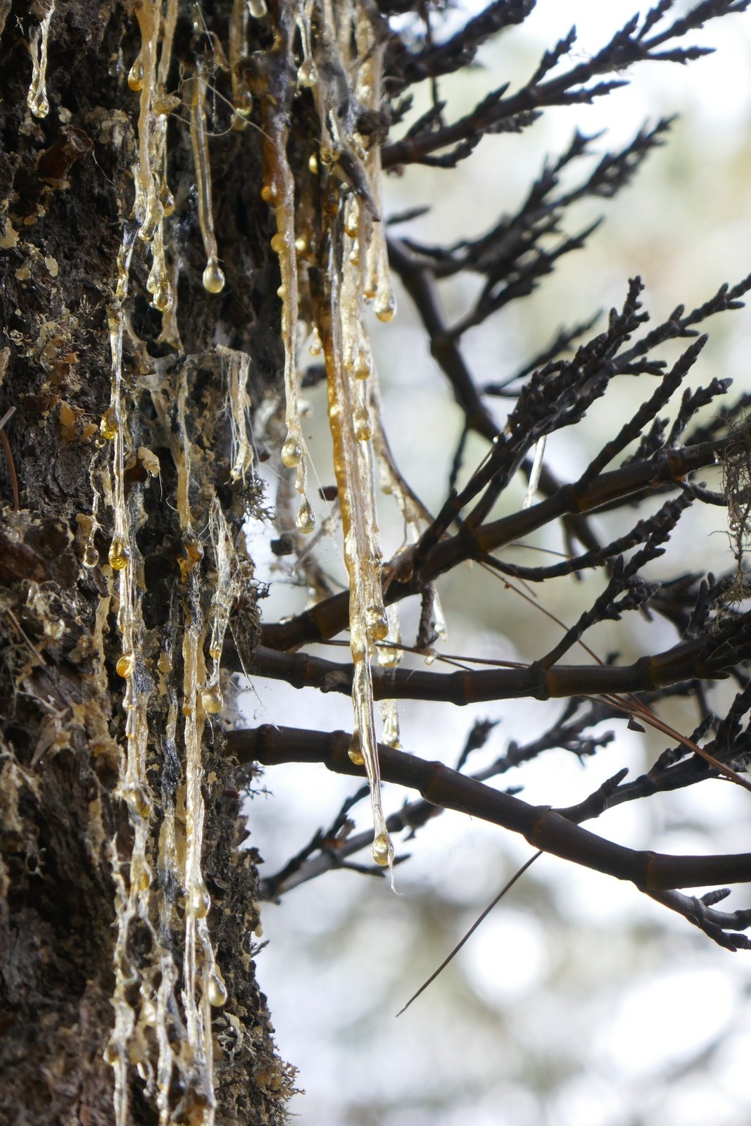
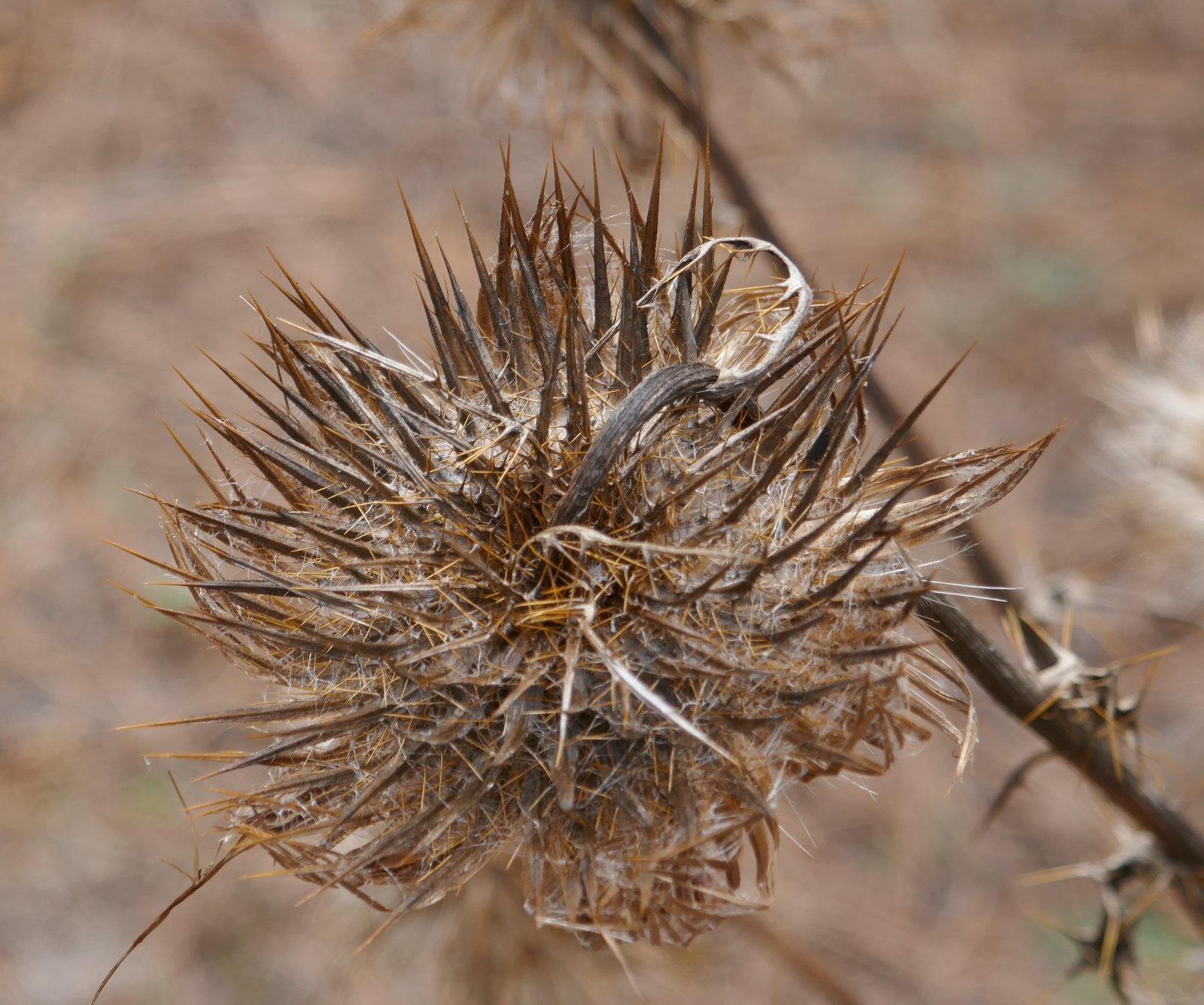
 This area in particular is noted for having the largest of agave plants. We passed plants whose leaves were 10 feet or more in height, and plants with stalks maybe 20 feet in height. Jose pointed out that some of these agaves reproduce by starting small plants in the “nets” of the “mother” plant. In other cases, small “baby” plants are produced high on the stalk. When the stalk falls, the plants can then take root. (When an agave produces that tall stalk, it is in it’s last weeks of life; it dies thereafter.)
| 
|
- As we approached Cuajimoloyas, we came upon some tanks with clear, fresh water – trout were raised in these tanks and offered on menus in some of the pueblos in these mountains.
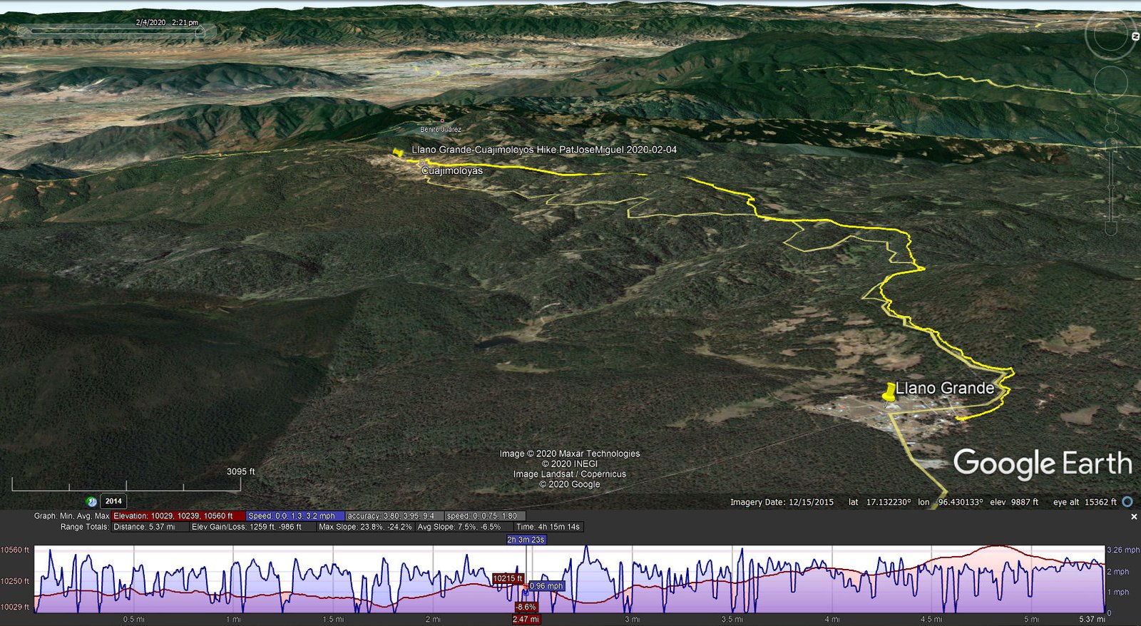
As the statistics show, we would classify this hike as easy (fortunately, at home we live at 5,000 feet elevation, so the altitude here was no bother). Upon arriving in Cuajimoloyas we settled in to our cabin, then went only a few yards away for a very nice ‘cena’. The next morning .. see the next post for the Cuajimoloyas-Benito Juarez Hike.
Our guide, José, is a remarkable young man. From the village of Teotitlan del Valle, his knowledge and enthusiasm made our two days with him really wonderful.
Statistics
Total Distance: 5.37 miles
Elevation: start 10,127 ft, maximum 10,560 ft, minimum 10,029 ft
Gross gain: 531 ft. Aggregate ups & downs: ascending 1,259 ft, descending 986 ft
Maximum slope: 24% ascending, 24% descending, 7.0% average
Duration: 4:15
| GPS Track Files for Download | |
234 Downloads | |
|---|---|
206 Downloads | |
197 Downloads | |
203 Downloads | |
I urge you to explore our hiking tracks with Google Earth. With the virtual 3-dimensional presentation, achieved by panning and tilting the view, you can get a much better idea of the hikes and terrain than you can get from the 2-dimensional screenshot above. For assistance: Using Google Earth Track Files.
References and Resources
Two Soles Wandering: Hiking in Oaxaca’s Sierra Norte Indigenous Villages


