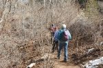
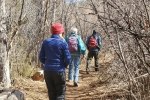
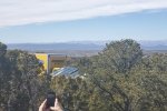
For this hike we joined Jay and Nancy for a hike in their neighborhood in Santa Fe, in the Dale Ball Trails. This is their territory – one of their daily routes.
The Drive In
The trailhead for this hike is just off of Upper Canyon Road, turn left on Cerro Gordo Road, then right into the parking lot of The Nature Conservatory.
The Hike
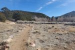
The Cerro Gordo Trailhead is at the far end of the parking lot. The trail starts out in the open, on a two-track, along the south side of the Santa Fe River and the Twomile Reservoir. Some 600 yards on, the trail enters a dense thicket of small trees typical of those along a river. Another 600 yards on the trail does a 180° turn to cross the river bottom and heads west along a trail above the river bottom and lake (now mostly dry, only a small area of water).
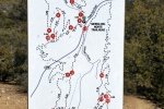
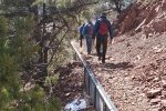
Abreast of the lake, we turned a sharp right to proceed in a northerly direction, now on a trail among juniper and piñon trees. About 250 yards on, we found ourselves at intersection #28 on the Dale Ball Trails map. We turned to the right, beginning a climb of some 300 feet. Like nearly all the Dale Ball Trails, it is easy to hike on (and popular for biking). After a couple of switchbacks, we reached the intersection #25 where we turned right and continued on to intersection #22 (the highest elevation on the hike). From here we turned left to make a loop back to #23 and on downhill to #25 where we continued straight ahead to #26, then #27 and along Cerro Gordo Road to the parking lot.
Statistics
Total Distance: 3.78 miles
Elevation: start 7,325 ft, maximum 7,692 ft, minimum 7,285 ft
Gross gain: 407 ft. Aggregate ascending 803 ft, descending 805 ft
Maximum slope: 20% ascending, 21% descending, 6,8% average
Duration: 2:57
| GPS Track Files for Download | |
0 Downloads |
|
|---|---|
123 Downloads |
|
If you haven’t explored these hiking tracks with Google Earth, I urge you to try it. With the virtual 3-dimensional presentation, achieved by panning and tilting the view, you can get a much better idea of the hikes and terrain than you can get from the screenshot above. For some ideas, check out Using Google Earth Track Files.
Related Posts
Dale Ball Loop North Trail Hike – 05/23/2019
Other trails around Santa Fe
References and Resources
Santa Fe Conservation Trusts: Dale Ball Trail System
City of Santa Fe: Dale Ball Trails Map (pdf)
AllTrails: Dale Ball Trails North
Broken Spoke Santa Fe: Dale Ball Trails & Foothill Trails


