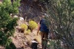
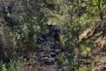
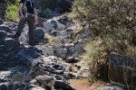
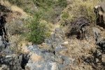
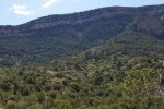
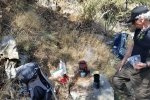
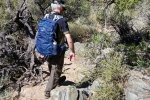
Returned to Noname Canyon (a name that we have given it, since we can’t find a name on any maps) for a short day. The trail goes up a narrow canyon with numerous stretches that are quite rocky. It does make for a good workout: a thousand feet elevation gain in 1.7 miles. ‘Tis mostly in shade (in morning hours) with some stretches through or around “shrubery”.
The Hike

Jay had recently joined a group to visit the “Great Quartz Outcrop” in the vicinity of Noname; approaching the limit of our hike for the day, we climbed out of the canyon to look about for the Outcrop. Looking across Noname from the ridge on the north, we could see the Outcrop. The group’s route went up onto a ridge and down into a canyon two or three times, with steep descents and ascents. Noname offers an alternative route to the Outcrop.
Jay here: George and I have been up No Name wash several times but never realized how close we were to the Great Quartz Outcrop. Our route to the outcrop requires many traverses over rock falls, but I would take that any day over the alternate route that not only has steep ascents but is also out in the open with no shade whatsoever. We will definitely come back this way again and make the final push up the knoll to climb on to the Quartz Outcrop.
Statistics
Total Distance: 3.35 miles
Elevation: start 6,082 ft, maximum 7,135 ft, minimum 6,082 ft
Gross gain: 1,053 ft. Aggregate ascending 1,391 ft, descending 1,383 ft
Maximum slope: 56% ascending, 48% descending, 14% average
Duration: 3:21
| GPS Track Files for Download | |
112 Downloads |
|
|---|---|
68 Downloads |
|
I urge you to explore our hiking tracks with Google Earth. With the virtual 3-dimensional presentation, achieved by panning and tilting the view, you can get a much better idea of the hikes and terrain than you can get from the 2-dimensional screenshot above. For assistance: Using Google Earth Track Files.
Last Updated on February 28, 2022 by George Young
