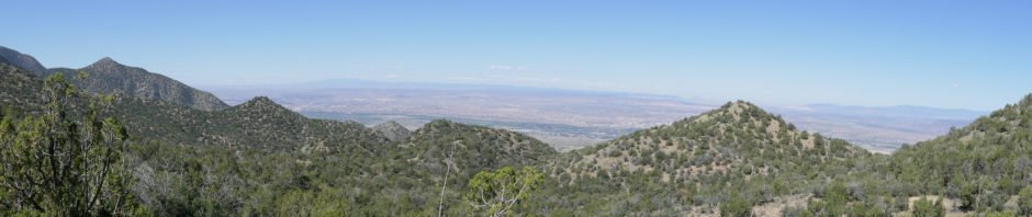
We must like NoName, this is the 7th time we’ve hiked this canyon. (Note: I’ve written before, that “NoName” is -our- name for this canyon, since we haven’t found any other moniker to use.)
The Hike
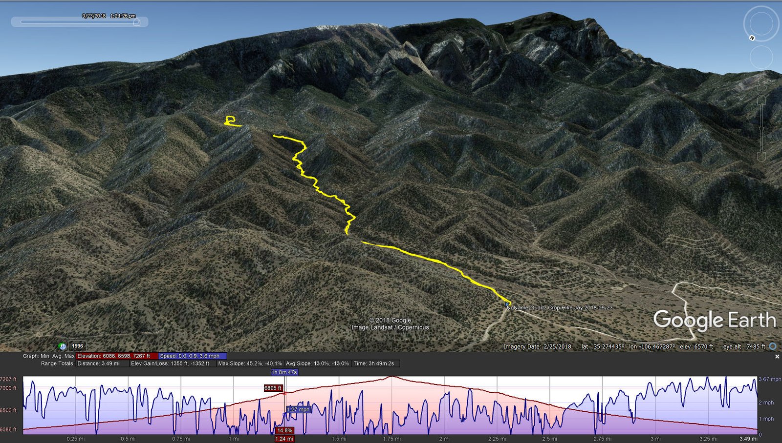
NoName-Quartz Outcrop Hike.Jay.2018-09-23
This time we had a goal, visit the Quartz Outcrop above the upper end of NoName. Jay had hiked to it with another group, a tough route going up and down over the ridge above NoName, and together twice we had hiked up NoName to a point where we could see the outcrop. This day we were determined to -visit- Quartz Outcrop.
We’ve published descriptions of the trail from our other hikes, particularly 02/12/2017 and 9/17/2017; there is not much to add except for the scramble up a steep hillside to reach -the- Outcrop. Of course, we used the Outcrop as the spot for our mid-hike break, enjoying the wide range of colors and shapes in this geologic formation.
Statistics
Total Distance: 3.49 miles
Elevation: start 6,086 ft, maximum 7,267 ft, minimum 6,086 ft
Gross gain: 1,181 ft. Aggregate ascending 1,355 ft, descending 1,352 ft
Maximum slope: 45% ascending, 40% descending, 13% average
Duration: 3:49
| GPS Track Files for Download | |
218 Downloads | |
|---|---|
174 Downloads | |
I urge you to explore our hiking tracks with Google Earth. With the virtual 3-dimensional presentation, achieved by panning and tilting the view, you can get a much better idea of the hikes and terrain than you can get from the 2-dimensional screenshot above. For assistance: Using Google Earth Track Files.


