‘Twas a chilly day with rain all around, but we wanted to get out for a hike. Chose the Ponderosa trail because it was easy (we’d hiked it back in 2016). Mother Nature had blessed the area with rain within the previous 24 hours, so we carried some excess weight on the boots (sticky clay mud) during the first third of the hike. But she held off on more rain until after we finished, so we stayed dry.
The Hike
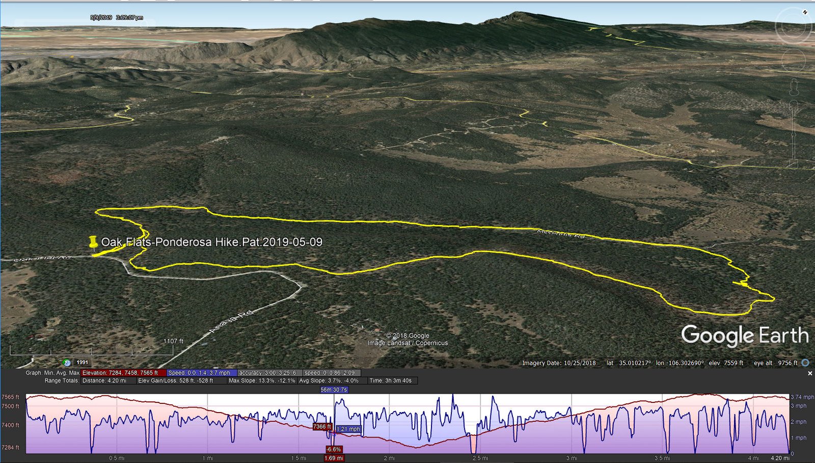
Oak Flats-Ponderosa Hike.Pat.2019-05-09
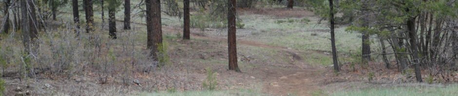
This is a -very nice- trail. It goes through mostly clean, open forest – hardly any deadfall – and the trail is smooth with very little elevation gain (‘tho one goes downhill first, then a bit uphill for the 2nd half). And .. it’s close to Albuquerque, makes for an easy hike, and one can stop by Roots Farm Cafe just south of the intersection in Tijeras for breakfast, or for lunch.
Statistics
Total Distance: 4.2 miles
Elevation: start 7,536 ft, maximum 7,565 ft, minimum 7,284 ft
Gross gain: 285 ft. Aggregate ascending 528 ft, descending 528 ft
Maximum slope: 13% ascending, 12% descending, 3.7% average
Duration: 3:04
| GPS Track Files for Download | |
214 Downloads | |
|---|---|
149 Downloads | |
I urge you to explore our hiking tracks with Google Earth. With the virtual 3-dimensional presentation, achieved by panning and tilting the view, you can get a much better idea of the hikes and terrain than you can get from the 2-dimensional screenshot above. For assistance: Using Google Earth Track Files.
References
Hiking in New Mexico: Ponderosa in Oak Flats Hike – 11/03/2016
USDA Forest Service: Oak Flat Trailhead & Connector Trail 05637
Manzanita Mountains Trail System (pdf)
AllTrails: Trails near Tijeras, New Mexico (Other trails in the vicinity)


