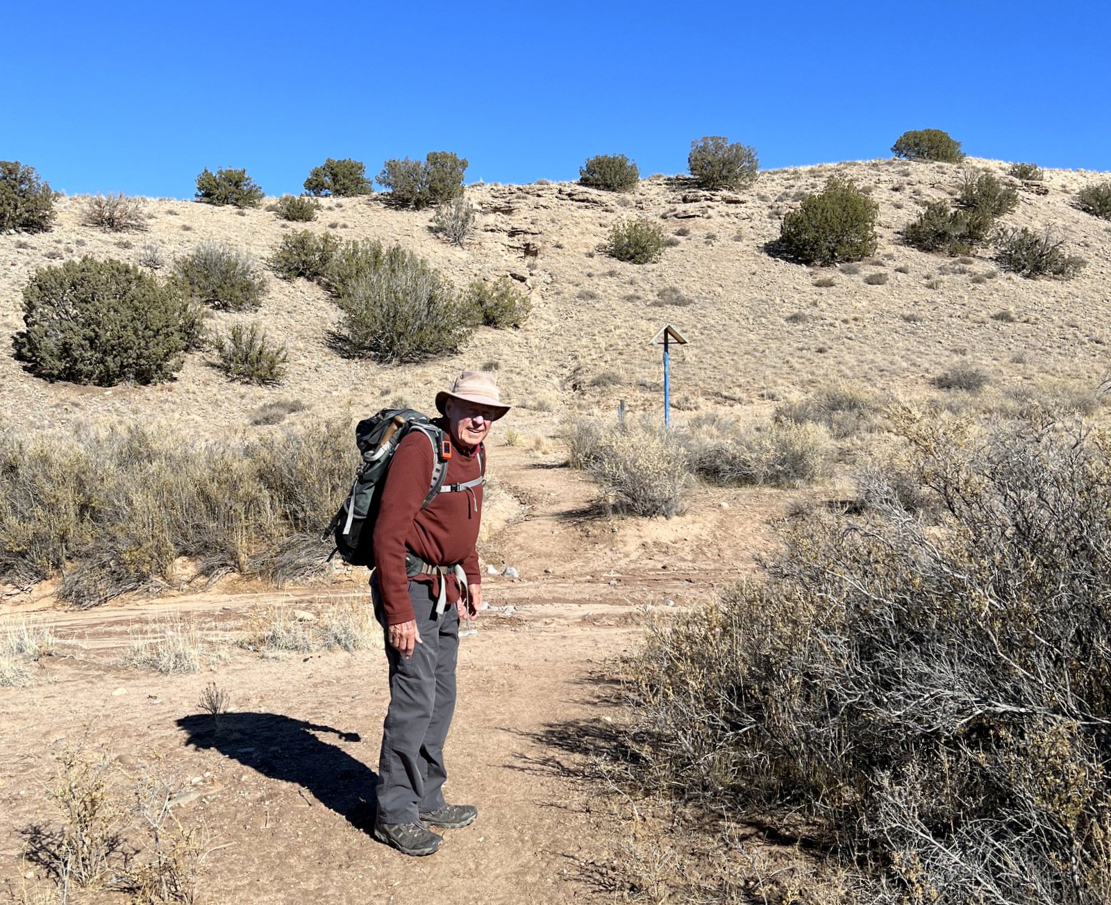
Seeking a place to hike halfway between Albuquerque and Santa Fe, we chose to explore the Open Spaces just north of Placitas.
The Drive In
At the Bernalillo interchange on I-25, go east on NM 165 .3 miles then turn left onto the frontage road. Proceed 1.7 miles, then turn right onto Camino Manzano. A 1.3 mile on, turn left onto Santa Ana Loop, then in .9 mile another left onto Cloud View Ct; continue to the parking area for Placitas Open Space.
The Hike
Notes about the Google Earth screenshot: the graph at the bottom shows elevation of the track (pink area) and speed (the blue line).

This area is -wide- -open- hilly terrain with widely scattered small juniper trees. The trails are well used, sand & gravel – easy ambulating.
Highlight
It was great to be back on the trial with Jay, and in our first “stomping grounds” – trails around Placitas.
Jay here: Having lived in Placitas for around 9 great years, it’s a bit amazing that I had never hiked in the Open Spaces Trailhead (and if you follow the recent news, the Dept of the Interior is taking an active role now in protecting the Buffalo Tract and other BLM holdings in the area…for the next 5 decades and hopefully permanently). George and I did just about every hike you can name on the south side of town up into the hills, but not this one. It may not have high elevations or tree cover, but you can’t beat the Sandia backdrop everywhere you turn.
Statistics
Total Distance: 3.94 miles
Elevation: start 5,331 ft, maximum 5,534 ft, minimum 5,331 ft
Gross gain: 203 ft. Aggregate ascending 674 ft, descending 674 ft
Maximum slope: 29% ascending, 40% descending, 5.7% average
Duration: 2:40 , Average Speed: 1.5 mph
| GPS Track Files for Download | |
96 Downloads |
|
|---|---|
108 Downloads |
|
If you haven’t explored these hiking tracks with Google Earth, I urge you to try it. With the virtual 3-dimensional presentation, achieved by panning and tilting the view, you can get a much better idea of the hikes and terrain than you can get from the screenshot above. For some ideas, check out Using Google Earth Track Files.
References and Resources
AllTrails: Best Trails in Albuquerque (Placitas) Open Space & U.S. BLM Land
Las Placitas Association: Placitas Open Space
City of Albuquerque – Open Space: Sandoval County Open Space
Placitas Open Space Master Plan
USDA Forest Service: Placitas Trail System
Placitas Area Trail System (.pdf)
Sandia Mountain Trails


