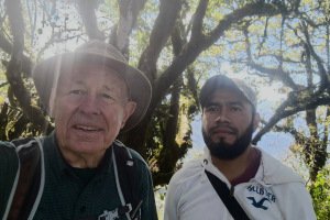
This is a post of our visit to Chicahuaxtla during our 5 week visit to Oaxaca. In company with José who we engaged as our guide into this Mixtec and Trique territory of northern Oaxaca. We started at this village where Pat would get an introduction into backstrap weaving.
The Drive In
After spending a day in Tlaxiaco, José engaged a taxi for the 1.5 hour trip (24 miles) to Chicahuaxtla. On a concrete highway, the road passes through valleys and hilly terrain, then at 15 miles climbs into more mountainous terrain, reaching Chicahuaxtla at 8,000 feet.
The Walkabout
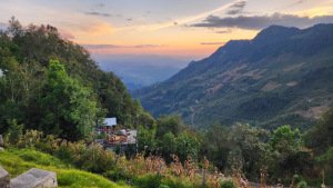
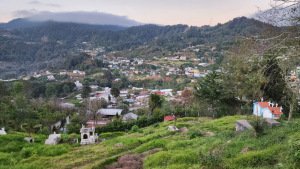
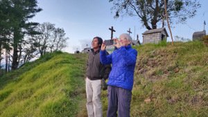
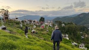
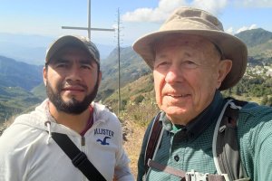
Chicahuaxtla is situated on a ridge at 8,000 feet, overlooking surrounding valleys as low as 4,000 feet. It is a small village (population ~2,700) about half mile in size. After our arrival, we had time to stretch our legs and take a walkabout around the village. Late in the day, the views of the surrounding mountains and valleys were beautiful as we walked along the edge of the village, then up onto the hill overlooking the valleys to the west.
Statistics – The Walkabout
Total Distance: 0.8 miles
Elevation: start 7,970 ft, maximum 8,048 ft, minimum 7,999 ft
Gross gain: 49 ft. Aggregate ascending 186 ft, descending 183 ft
Maximum slope: 21% ascending, 23% descending, 7.7% average
Duration: 1:04, Average Speed: 0.7 mph
The Hike
Notes about the Google Earth screenshot: the graph at the bottom shows elevation of the track (pink area) and speed (the blue area).
Again this year I had the pleasure, and honor, of hiking with a local guide, in this case Arturo. Local guides know the area around their village, interesting hikes (usually to the top of a nearby mountain), and they are patient with my limited Spanish as we explore and learn each other’s language. Gracias, Arturo.
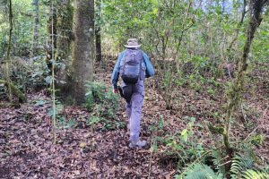
I met Arturo at the village office to hike to the top of their nearby mountain, Cerro de Zarzamora. We hiked to the trailhead at the edge of Chicahuaxtla, along the way enjoying a magnificent view of the village and across one of the valleys to the mountains beyond. We soon turned into the forest, proceeding uphill on a two-track.
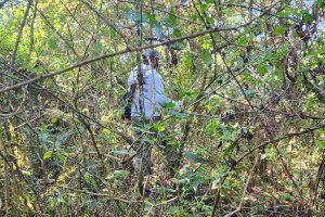
About a quarter of a mile on, Arturo left the two-track thinking we would find a shorter route and possibly a less steep trail. This quickly turned into some serious bushwhacking, so he changed course to rejoin the two-track. (In hindsight, looking at our track on GoogleEarth, we could have continued further into some open space and rejoined the two-track.)
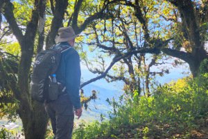
From there it -was- a steeper climb – 400 feet in two-tenths of a mile. And it became even steeper; still hampered by my sore heel, I decided to not tackle the last 100 feet of elevation gain.We returned on the two-track, pausing again to take in a great view of Chicahuaxtla and the mountains beyond.
Statistics – The Hike
Total Distance: 2.43 miles
Elevation: start 7,968 ft, maximum 8,730 ft, minimum 7,960 ft
start 2,429 m, maximum 2,661 m, minimum 2.426 m
Gross gain: 770 ft, Aggregate ascending 1,022 ft, descending 1,023 ft
gain: 235 m, Aggregate ascending 312 m, descending 312 m
Maximum slope: 58% ascending, 57% descending, 14.8% average
Duration: 3:20, Average Speed: 0.7 mph, 1.2 km/h
| GPS Track Files for Download | |
88 Downloads |
|
|---|---|
92 Downloads |
|
98 Downloads |
|
85 Downloads |
|
77 Downloads |
|
104 Downloads |
|
If you haven’t explored these hiking tracks with Google Earth, I urge you to try it. With the virtual 3-dimensional presentation, achieved by panning and tilting the view, you can get a much better idea of the hikes and terrain than you can get from the screenshot above. For some ideas, check out Using Google Earth Track Files.
Highlights
As noted above, it is a great joy to hike with a guide who is from the local village. And while I was hiking, Pat was getting an introduction to the backstrap loom from one of the weavers in Chicahuaxtla. It has been her great interest in meeting indigenous weavers and learning from them that has let us into these small villages in the mountains of northern Oaxaca. Thanks, Pat.
References and Resources
UNL Digital Commons: Tradition and Transformation in Chicahuaxtla Trique Textiles (PDF)
Travopo: San Andrés Chicahuaxtla


