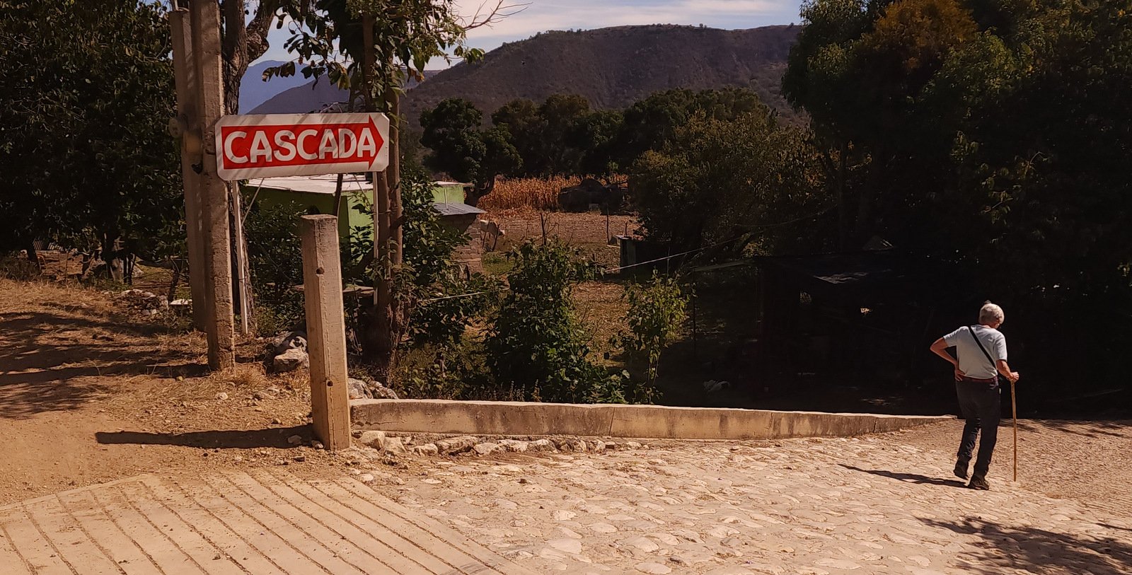
This is a post for one of many hikes or walkabouts that Pat and I enjoyed during our visit to Oaxaca in January of 2024.
The Drive In
Our trip to Oaxaca began in Oaxaca de Juarez, the largest city and capital of the Mexican District of Oaxaca. After 4 days in the city, we embarked on our first excursion, visiting the small village of Santiago Apoala in the mountains north of Oaxaca. The first leg of our trip was from the city to Asuncíon Nochixtlán in one of the many small van-busses that serve as the primary means for people traveling from and to the surrounding towns and villages.
On arrival in Nochixtlán we ate lunch at the market (there is one in every town), then were spotted by a taxi driver (us being Norteameranos with back packs) who offered to take us to Apoala (which is known as a village that many visitors go for the hiking trails). The drive to Apoala was 24.5 miles/1 hour 45 minutes on a well paved road, starting at 6,800 ft elevation, climbing to a bit over 8,000 feet, then a steep descent down to 6,500 feet in Apoala. From near the high point we had a great view of the village.
Upon our arrival in Apoala, we registered at the Oficinas del Centro Ecoturistico Apoala Yutsa Toon. Our plan was to spend 2 or 3 nights in Apoala, and hike one of the trails each day. Two options for lodging are available – Cabañas de Santiago Apoala or La Casa de Mi Abuelita. We were unsuccessful in our attempts to reach the Cabañas to arrange lodging, so we made reservations at La Casa. ‘Tho spartan (by city standards), La Casa was well appointed and quite comfortable. We checked into our room, then walked down the main street in town for dinner at the El Centauro restaurant.
The Hike
Notes about the Google Earth screenshot: the graph at the bottom shows elevation of the track (pink area) and speed (the blue line).
After a good night’s sleep at La Casa and breakfast back at El Centauro, we chose to hike first to the Cascadas de Santiago Apoala. With GaiaGPS it was easy to find our way down the street from La Casa to the trailhead at the edge of town, then to follow the well used trail. The “hike” consists mainly stairs and sections of the steep trail descending from 6,458 feet elevation to the valley floor at 5,940 feet at the pool at the base of the falls, and a total distance from La Casa of o.78 miles.
Highlight
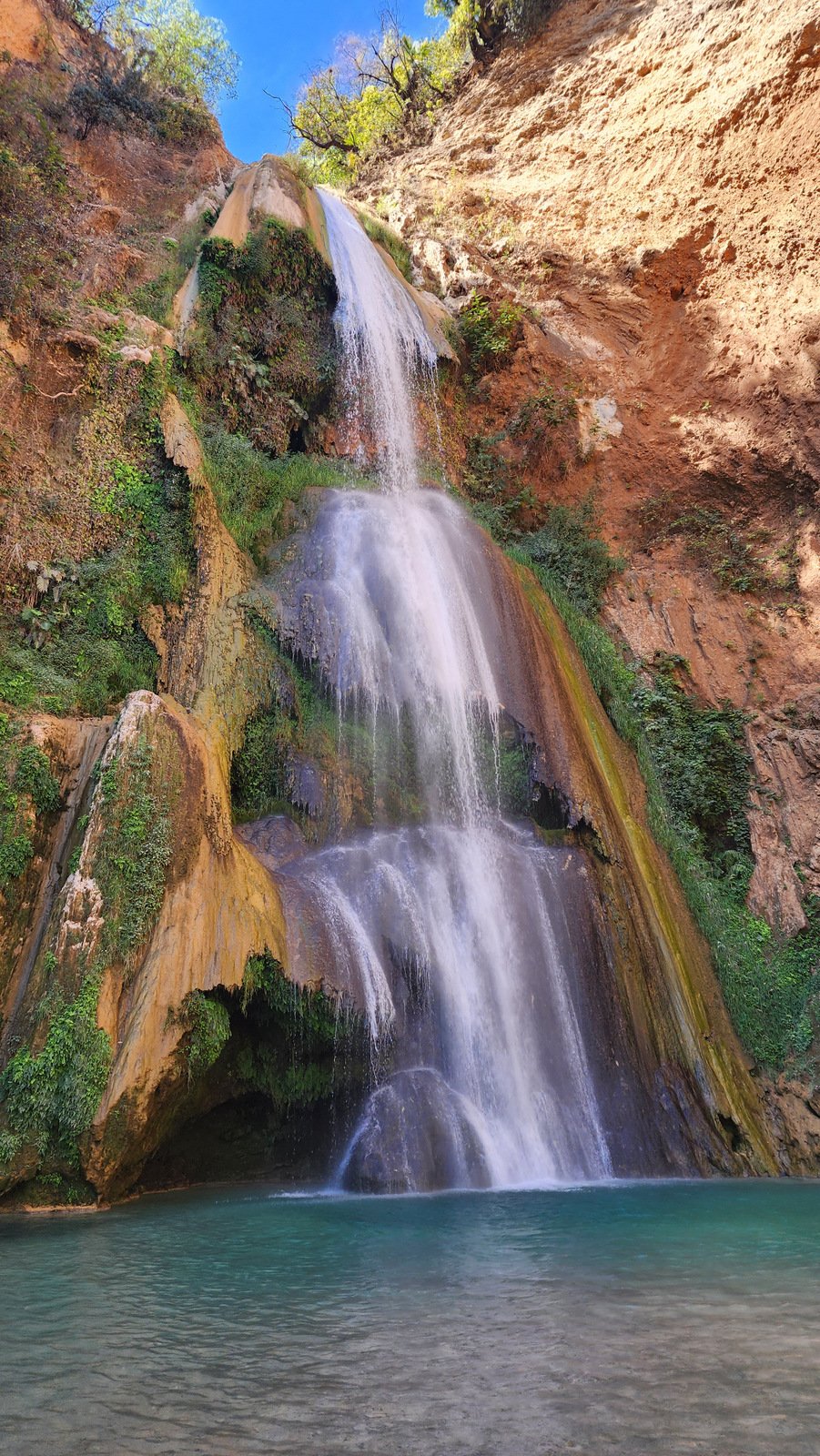
Even though our visit was during the dry season, there was a good flow of water down the falls, and a beautiful pool at the bottom. Above the pool was an overhang laden with hanging mosses and plants; the sun was in just the right position to cast reflections of ripples on the water onto the ceiling (yes, the video is right-side-up).
Statistics
Total Distance: 1.82 miles
Elevation: start 8,511 ft, maximum 8,520 ft, 8,124 minimum ft
Gross gain: 396 ft. Aggregate ascending 822 ft, descending 825 ft
Maximum slope: 54% ascending, 48% descending, 14% average
Duration: 3:43, Average Speed: 0.6 mph
| GPS Track Files for Download | |
101 Downloads |
|
|---|---|
111 Downloads |
|
If you haven’t explored these hiking tracks with Google Earth, I urge you to try it. With the virtual 3-dimensional presentation, achieved by panning and tilting the view, you can get a much better idea of the hikes and terrain than you can get from the screenshot above. For some ideas, check out Using Google Earth Track Files.
Related Posts
References and Resources
AllTrails: Best Trails in Santiago Apoala
Cascadas de Santiago Apoala
Wikiloc: The Best Trails in Apoala, Oaxaca (Mexico)
Your Friend the Nomad: The Ultimate Guide to Santiago Apoala, Oaxaca Waterfalls & Hiking
Packing Up the Pieces: Discover Beautiful Santiago Apoala, Incredible Hiking in Oaxaca
Coyote Adventures: Hike & Swim at Iconic Apoala Waterfalls
La Casa de Me Abuelita: Bienvenido a Santiago Apoala


