This is a preliminary post of one of many hikes or walkabouts that Pat and I enjoyed during our visit to Oaxaca in January of 2024. I will publish a full reports when I return home in early February.
The Drive In
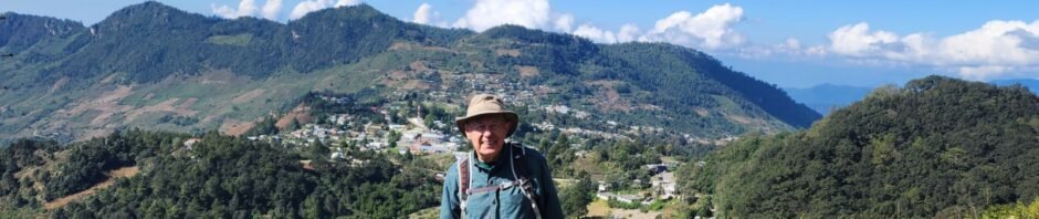
We visited this village, San Andrés Chicahuaxtla, during a 5 day tour through the Mixtec region of northern Oaxaca.
The Hike
San Andrés Chicahuaxtla Trail Hike.Arturo.2024-01-23
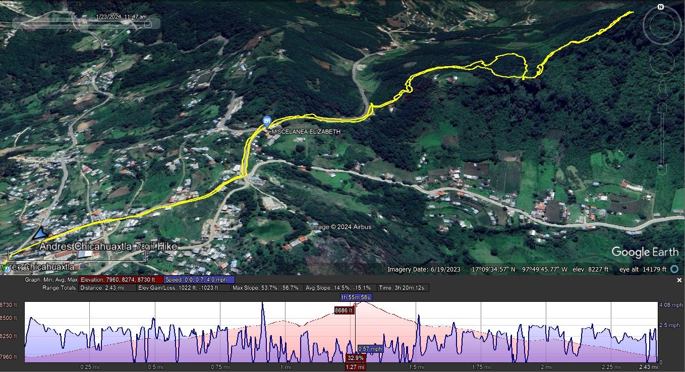
Notes about the Google Earth screenshot: the graph at the bottom shows elevation of the track (pink area) and speed (the blue line).
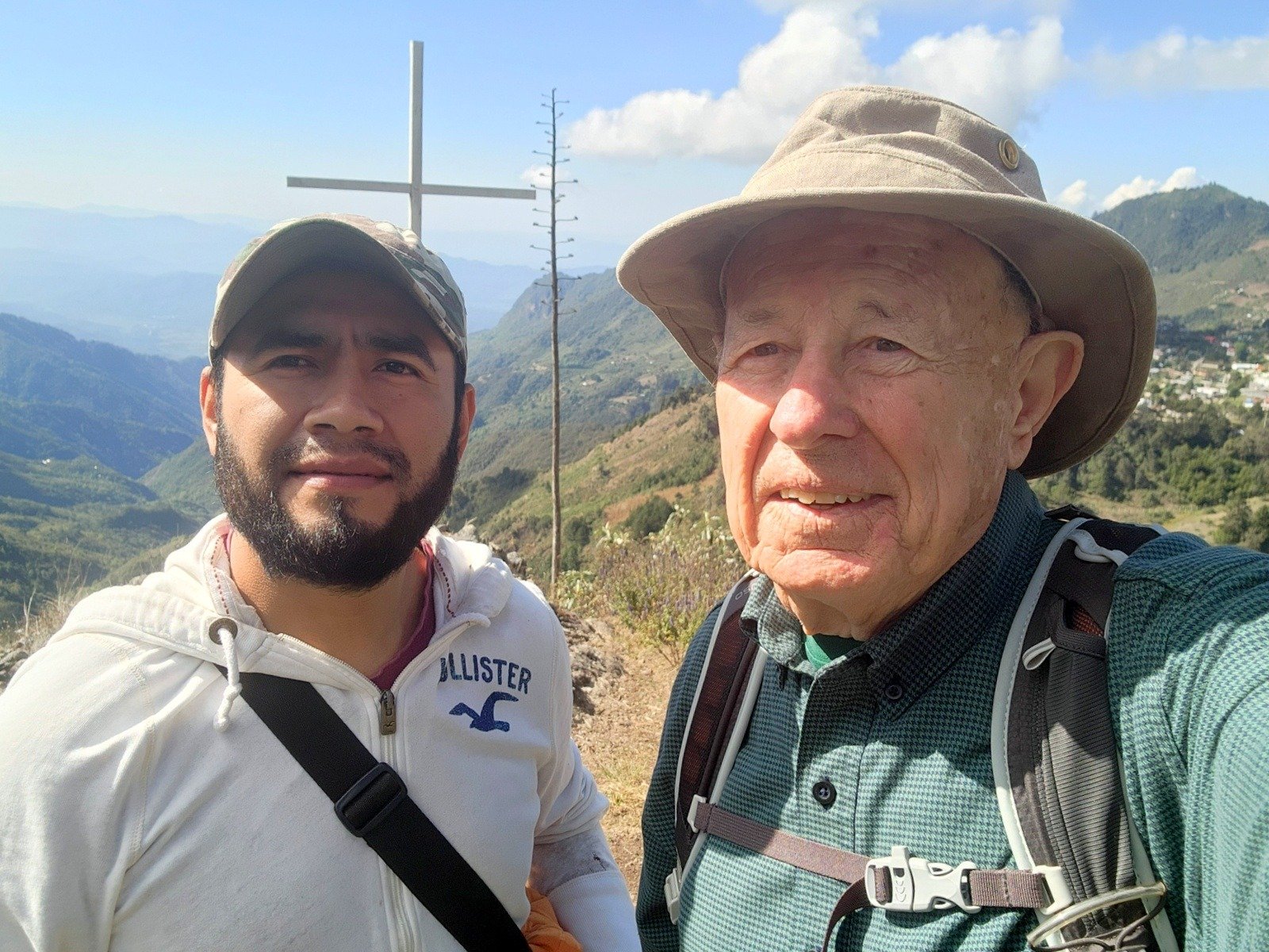 José, our guide for the tour, introduced me to Arturo to be my guide for a hike up a mountain that overlooks the village. I was advised that the trail was quite steep, and it was.
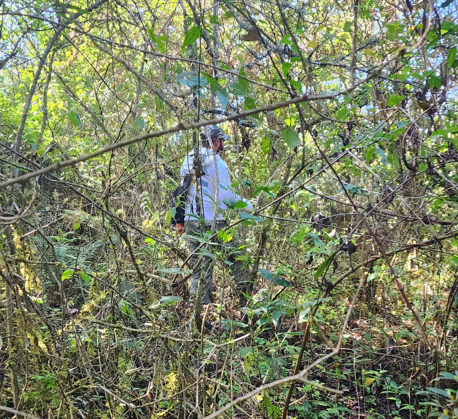 On the way up, Arturo took a “shortcut”, that is bushwhacking. Because I was favoring a quite sore foot, we didn’t go all the way to the top. But along the way there were some great views down into the valleys and the villages.
I enjoyed tremendously the hike .. and the time that I spent with Arturo each learning more about the other’s language.
Highlight
Statistics
Total Distance: 2.43 miles
Elevation: start 7,968 ft, maximum 8,462 ft, minimum 7,960 ft
Gross gain: 502 ft. Aggregate ascending 565 ft, descending 565 ft
Maximum slope: 25% ascending, 22% descending, 12% average
Duration: 0:52, Average Speed: 1.1 mph
| GPS Track Files for Download | |
103 Downloads | |
|---|---|
138 Downloads | |
If you haven’t explored these hiking tracks with Google Earth, I urge you to try it. With the virtual 3-dimensional presentation, achieved by panning and tilting the view, you can get a much better idea of the hikes and terrain than you can get from the screenshot above. For some ideas, check out Using Google Earth Track Files.
Related Posts
References and Resources
XXX’s Photos w/ Captions: Click on a Photo for Gallery Show.