We have been curious about the San Mateo Mountains, so we decided to do a bit of exploring.
The Drive In
We chose to start with the southeast part of the San Mateos Mountains. From Albuquerque, we drove south on I-25 to Exit 115, Fort Craig Historic Site. Crossing over to the east side of I-25 we turned right onto Old US Hwy 85 (now designated NM 1) for 27 miles, then turned right onto Forest Road 225. FR 225 is a well used sand and gravel road, quite suitable for ‘city’ vehicles for about 12 miles; it then becomes a bit rocky ‘tho it doesn’t require a high-clearance vehicle.
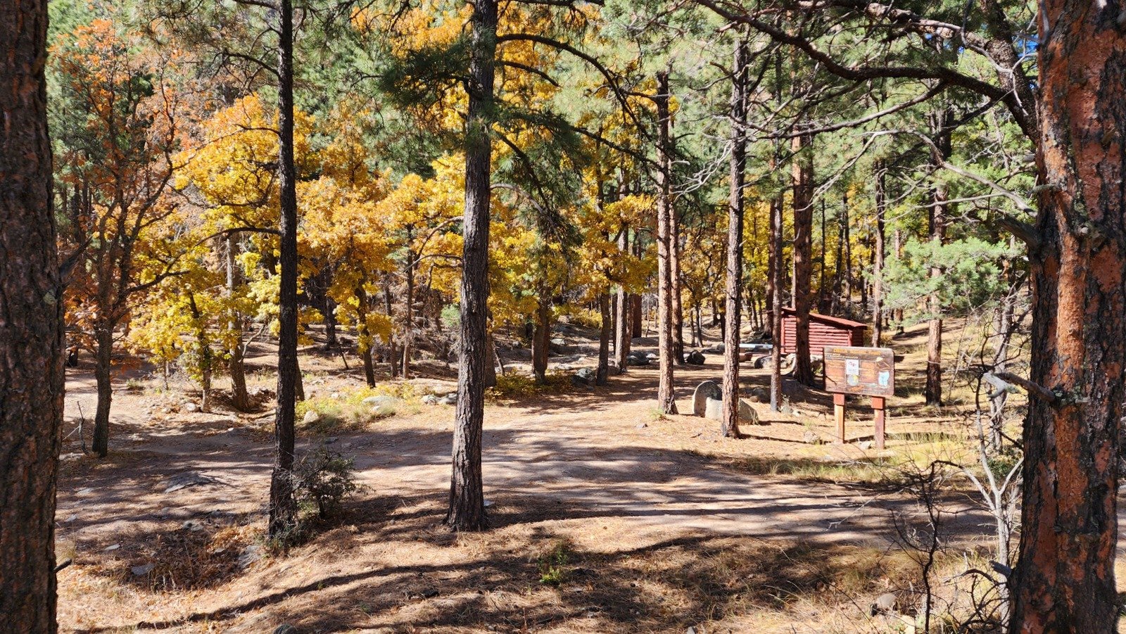
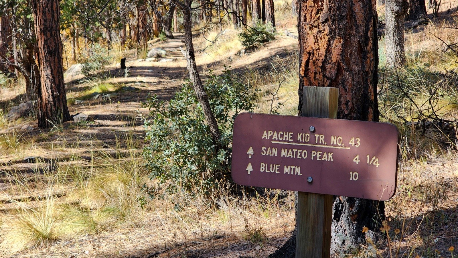
At 13.3 miles we continued past an intersection where FR 225 turns to the left and continued straight ahead to the Springtime Campground. Springtime is interesting in that it appears to have been set up many years ago. It has a half dozen ramada (Adirondack shelters) and fire pits plus a pit toilet – also quite ancient – all of which made it a most interesting place to visit. It is also the trailhead for the Apache Kid Trail which goes to the top of San Mateo Peak. This would be a bit long hike with much elevation gain, but … maybe someday.
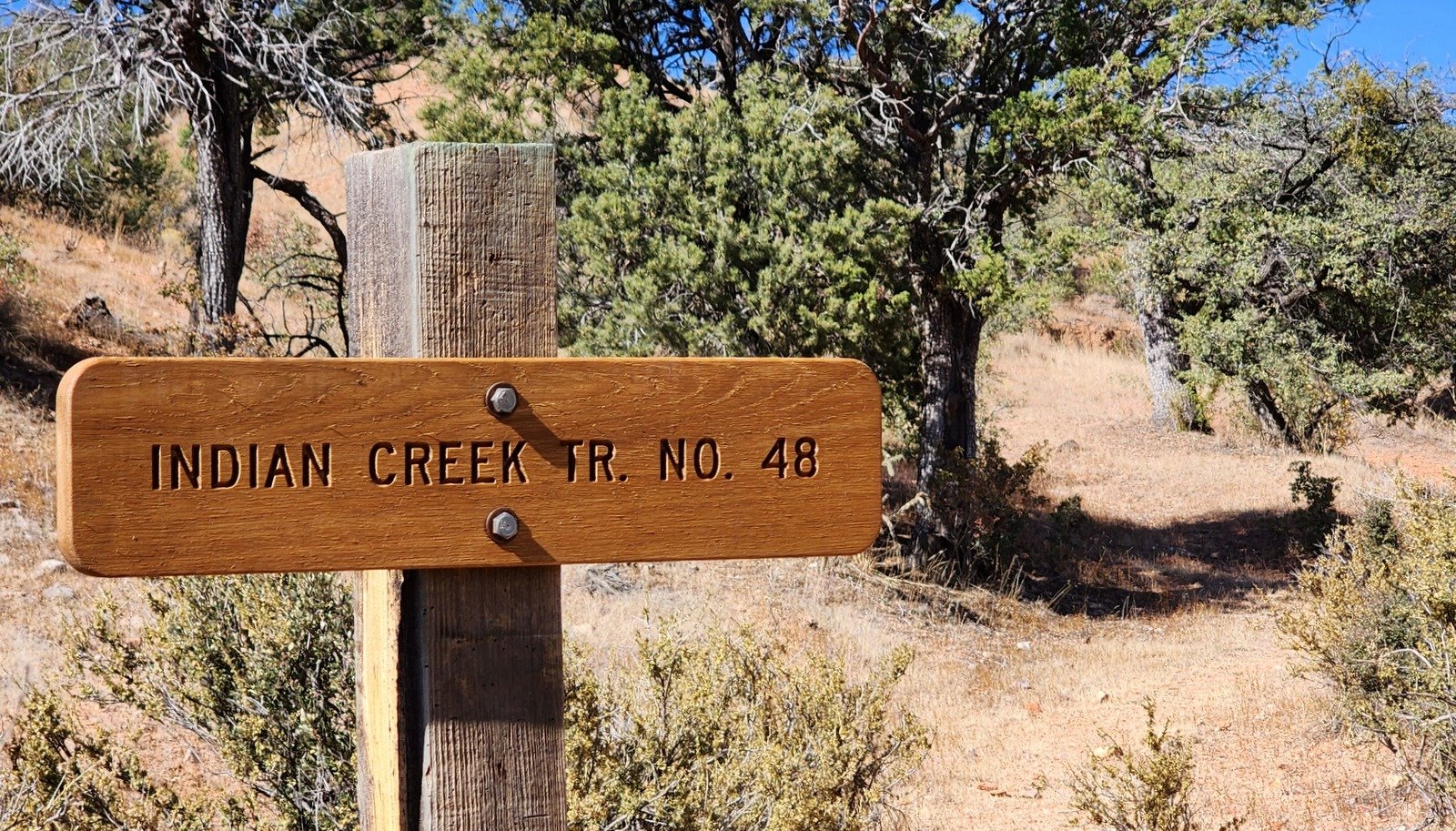 After checking out Springtime and walking up the Apache Kid Trail for a few hundred yards, we retraced our drive in for 3.6 miles to the trailhead for the Indian Creek Trail. We parked in large cleared area off of FR 225 with a windmill (a solar panel now providing the pump power), an open-top water tank, and a larger closed water tank
The Hike
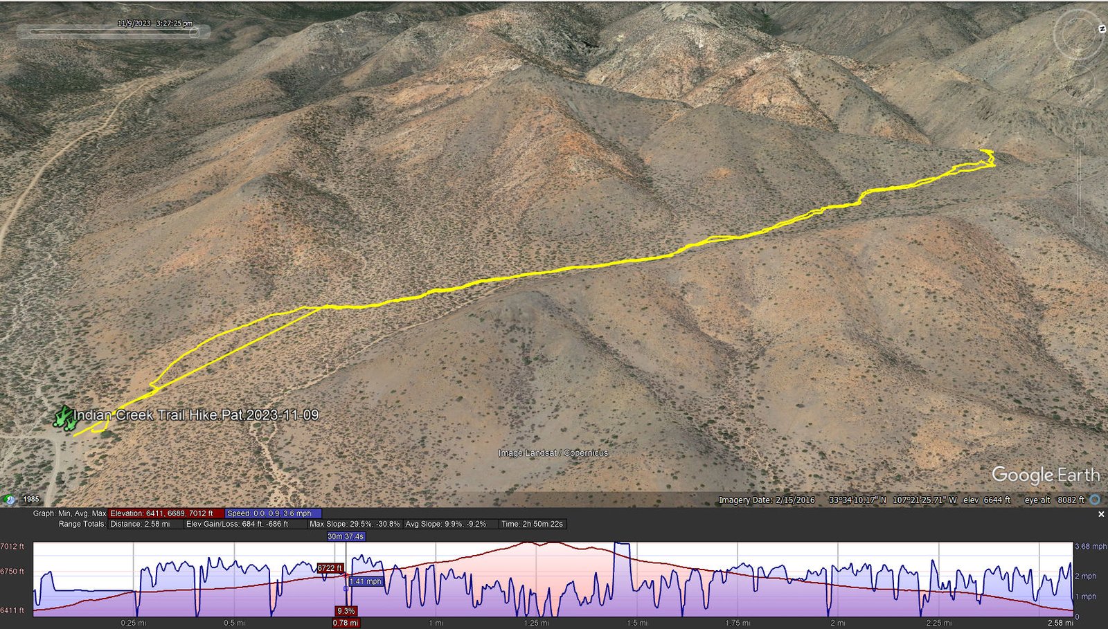
Indian Creek Trail Hike.Pat.2023-11-09
Notes about the Google Earth screenshot: the graph at the bottom shows elevation of the track (pink area) and speed (the blue line).
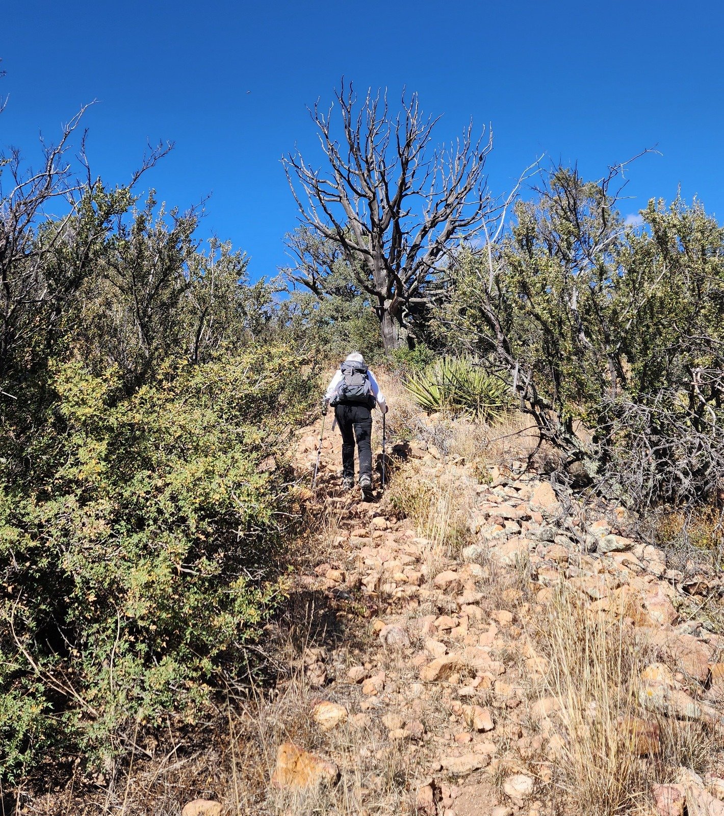 The trail is not heavily used and we had difficulty identifying it from the parking area. We opted for the first trail-like track we saw which gave us a good start for the hike – steep enough to get the lungs and heart working for a quarter of a mile. With careful attention to scuffed grass and dirt, along with occasional cairns, we were able to proceed with confidence that we were on – a trail -. Nearing the saddle in the ridge, a mile on, the trail became a bit rocky and a bit steep again, but still relatively easy going.
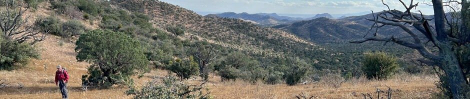
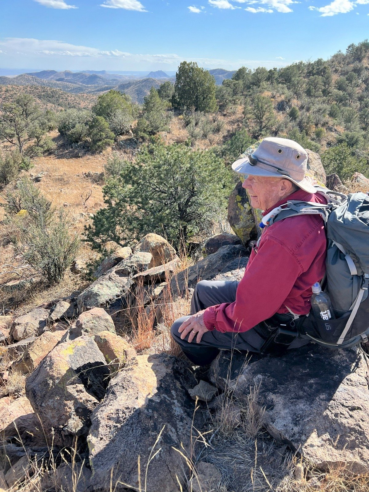
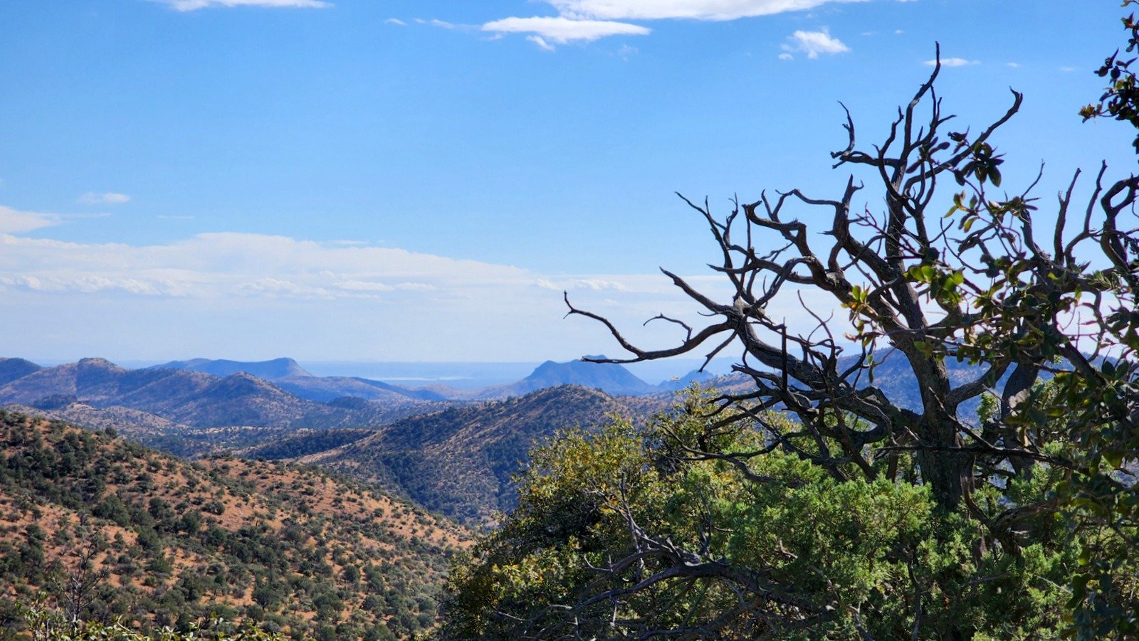 Along the way we enjoyed some marvelous views of the surrounding mountains and down-canyon to the the view to the southeast went all the way to White Sands. I had planned to continue over the ridge and down into the next canyon – Indian Creek and Springtime Canyon, but at the top of the ridge we were looking at a -very steep- slope down so we decided to have lunch and enjoy the views there.
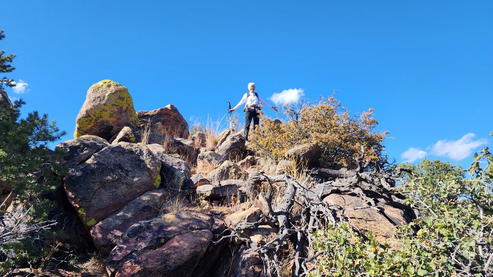
To get an even better view, we climbed up on a rock outcropping thinking it would be a good place for lunch – nope, there was no place to settle down so we found a nice vantage point just a bit along the ridge and relaxed for a while before returning to the trailhead.
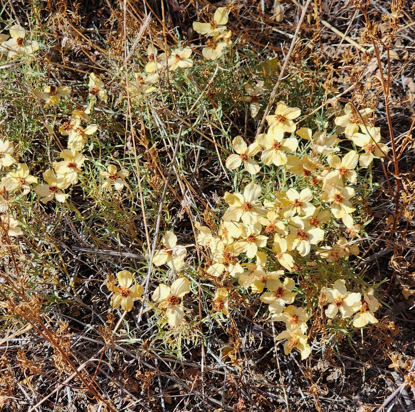
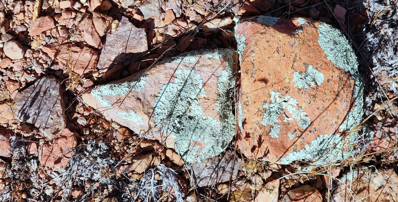
Highlight
Mother Nature continues to offer color, even in the autumn.
Statistics
Total Distance: 2.58 miles
Elevation: start 6,413 ft, maximum 7,012 ft, minimum 6,411 ft
Gross gain: 599 ft. Aggregate ascending 684 ft, descending 686 ft
Maximum slope: 30% ascending, 31% descending, 9.9% average
Duration: 2:50, Average Speed: 1.0 mph
| GPS Track Files for Download | |
158 Downloads | |
|---|---|
148 Downloads | |
132 Downloads | |
135 Downloads | |
If you haven’t explored these hiking tracks with Google Earth, I urge you to try it. With the virtual 3-dimensional presentation, achieved by panning and tilting the view, you can get a much better idea of the hikes and terrain than you can get from the screenshot above. For some ideas, check out Using Google Earth Track Files.
Related Posts
References and Resources
USDA Forest Service: Springtime Campground
HipCamp: Springtime Campground
Southern New Mexico Explorer:
San Mateo Mountains, East Red Canyon (FT 31)
Springtime Campground
Magdalena-nm.com: USDA Forest Service – Introduction Southern San Mateo Mountains Trails (.pdf download)
——- This document provides excellent descriptions of -many- trails in the San Mateos – highly recommended.
SteepTrails.com: Apache Kid Wilderness
GAIA GPS: Best Hiking Trails near Springtime Campground – Zoom out or pan the map east to see Indian Creek Trail #48