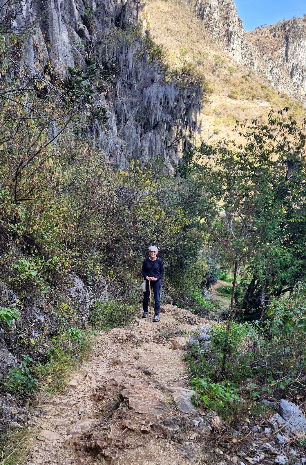
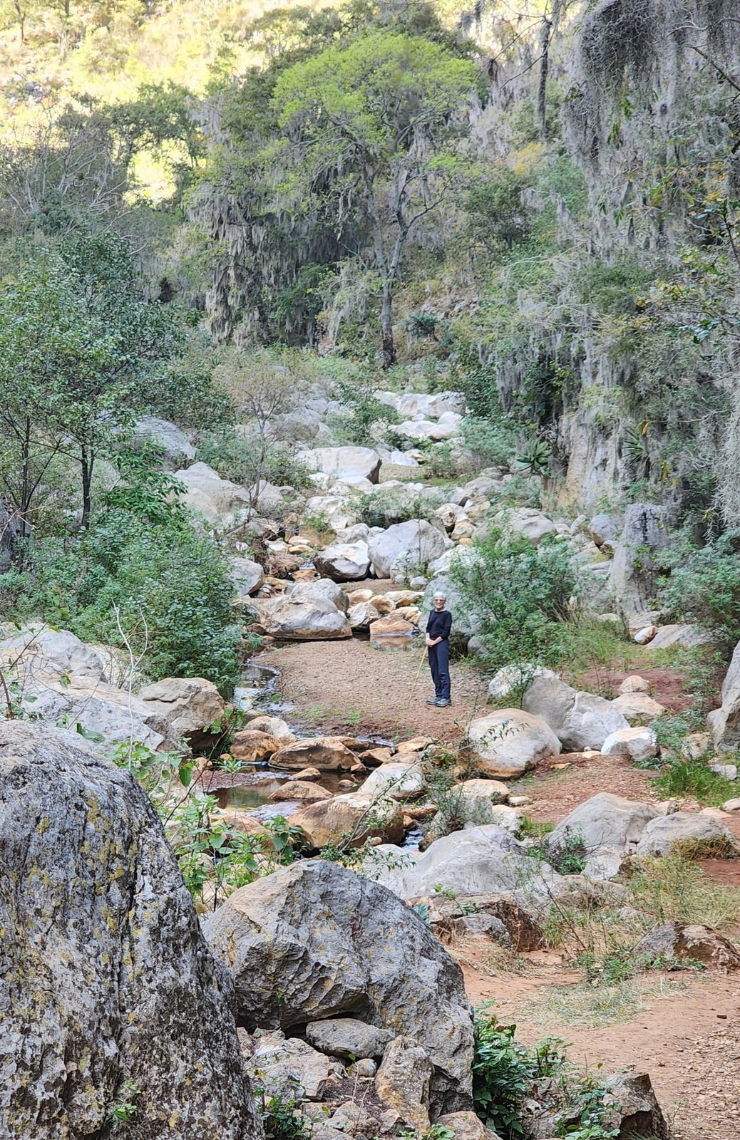
Our second hike during our visit to Oaxaca in January 2024. We visited the very small village of Santiago Apoala, 3 hours or so north of Oaxaca de Juarez (“Oaxaca City”), deep in the mountains of the Sierra Norte.
The Drive In
The “Drive In” is described in the post for the first hike, Santiago Apoala – La Cascada Trail Hike – 01/09/2024.
The Hike
Notes about the Google Earth screenshot: the graph at the bottom shows elevation of the track (pink area) and speed (the blue line).
This trail, Peña Gemelas, is one of three trails described online for hikes around of Apoala. From our hotel, Casa de Mi Abuelita, we walked southeast on the street that leads to the Cabañas de Santiago Apoala. Associated with the Cabañas is a large open camping area and two open-air restaurants. To the right of the camping area, the cañon wall goes up some 900 feet; to the left there is quite a nice stream flowing out of the cañon ahead – a very pleasant setting for camping or hanging out.
Leaving the camping area behind, the trail soon begins to climb, about 500 feet. Then a half mile on it descends to the cañon floor and along the river. A few hundred yards further and the trail enters the narrow section of the cañon. Along the way we made a couple of river crossings; this time of year the river level is low and crossing on rocks was easy. (They say during the rainy season, expect to wade across.) We proceeded to the far end of the cañon, then returned to the Cabañas where we enjoyed a nice lunch at one of the two outdoor restaurants there.
This made for a nice easy hike along the river and into the cañon. Other features are mentioned in other reports (a cave and some rock paintings), but as my hiking was limited by an issue with my feet, we didn’t explore further. And for the same reason, we did not tackle the other hike mentioned in most articles, a hike to the Mirador, the top of the mountain overlooking the valley and Santiago Apoala (but we did visit the Mirador on our drive from Apoala back to Asuncíon Nochixtlán.
Highlight
Statistics
Total Distance: 3.19 miles
Elevation: start 6,508 ft, maximum 7,036 ft, 6,500 minimum ft
Gross gain: 536 ft. Aggregate ascending 1,664 ft, descending 1,664 ft
Maximum slope: 17% ascending, 16% descending, 16.8% average
Duration: 3:22, Average Speed: 0.9 mph
| GPS Track Files for Download | |
95 Downloads |
|
|---|---|
95 Downloads |
|
If you haven’t explored these hiking tracks with Google Earth, I urge you to try it. With the virtual 3-dimensional presentation, achieved by panning and tilting the view, you can get a much better idea of the hikes and terrain than you can get from the screenshot above. For some ideas, check out Using Google Earth Track Files.
Related Posts
Santiago Apoala – La Cascada Trail Hike – 01/09/2024
References and Resources
AllTrails: Best Trails in Santiago Apoala
Wikiloc: The Best Trails in Apoala, Oaxaca (Mexico)
Peña Gamelas | Twin Rocks
Your Friend the Nomad: The Ultimate Guide to Santiago Apoala, Oaxaca Waterfalls & Hiking
Packing Up the Pieces: Discover Beautiful Santiago Apoala, Incredible Hiking in Oaxaca
La Casa de Me Abuelita: Bienvenido a Santiago Apoala


