Back to high elevation and cooler temperatures, this time trails on the east slopes below Sandia Crest. As for many of the hikes on east slopes, drive to Tijeras, north on NM 14 to Antonito, then up the Crest Highway. Eleven miles from Antonito, there are large parking lots on the left and right; the lot on the right for trails going north; on the left for trails going south.
The Hike
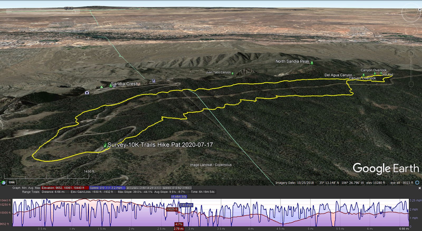
Survey-10K Trails Hike.Pat.2020-07-17
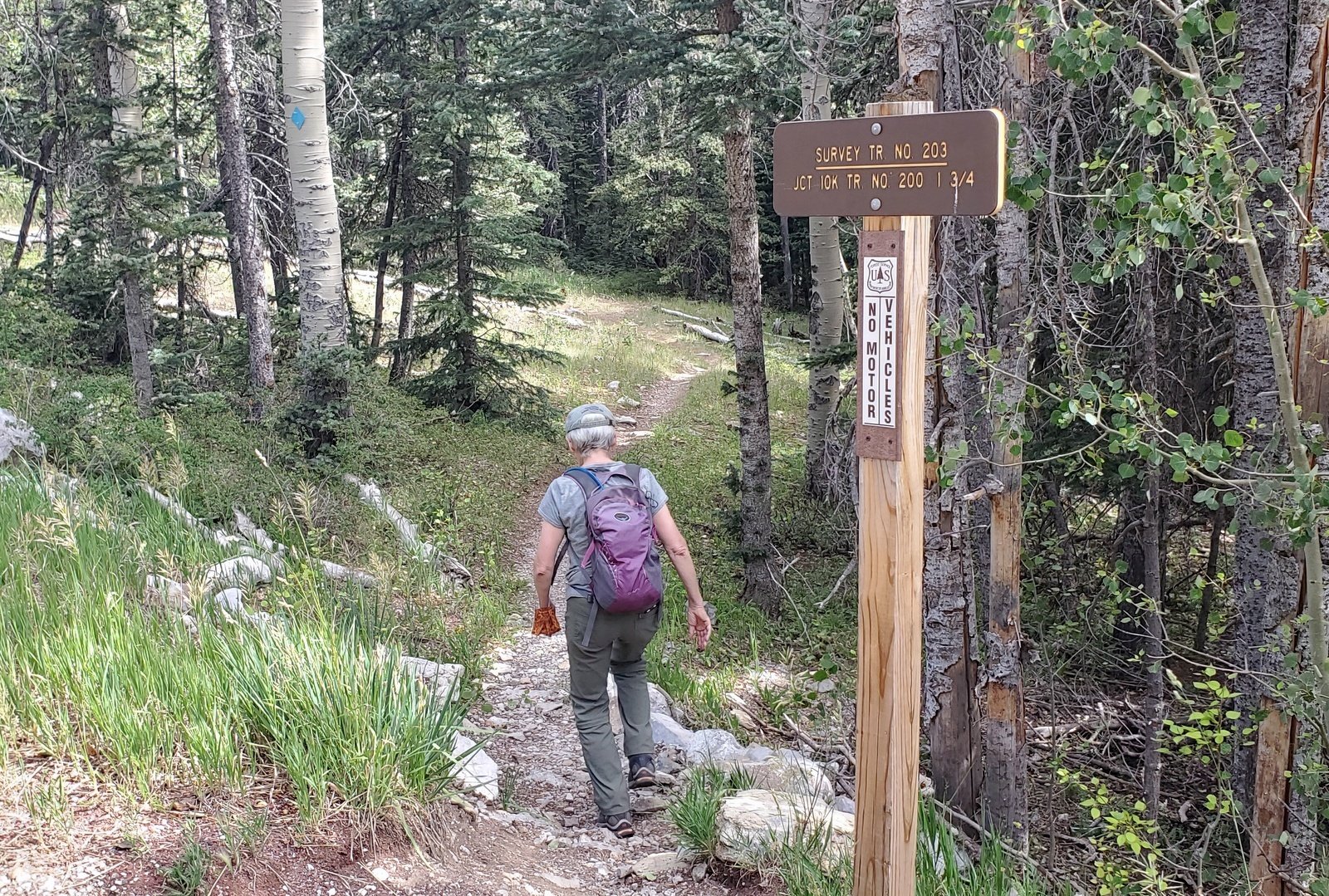
Trailhead for the Survey Trail.
We chose to go out via the Challenge and Switchback Trails, connecting to Survey Trail near the Ellis Trailhead parking lot. About 3 miles into the hike, at the intersection with the 10k trail, we turned left to go to the Del Agua Canyon Overlook. These are great trails – forest shade with a soft trail surface except a few sections that are rocky. The greatest elevation gain is in the first mile or so, from 9,900 to 10,400 feet. From there it is an easy downhill slope to the Del Agua Canyon Overlook.
Aspen on the north slope of North Sandia peak.
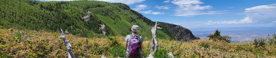
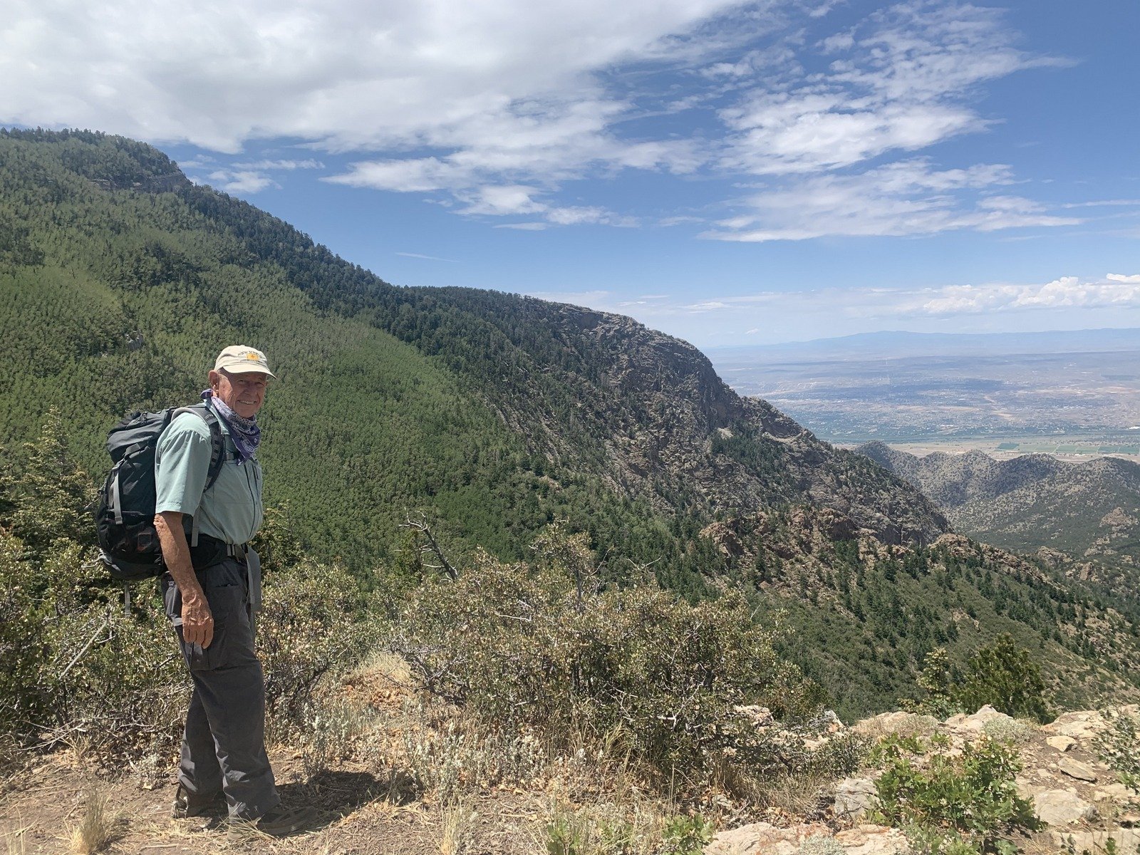
The views from the Overlook are great. To the left, nearly the whole north slope of North Sandia Peak is covered with aspen, very green this time of year but the color must be amazing in autumn. Ahead, a view of the big Del Agua Canyon. And to the right a the Rio Grande valley with the Jemez and Nacimiento Mountains in the distance. We stopped here for our first mid-hike break, then continued north on the North Crest Trail to enjoy more of the great views from rocky points at the edge of the Crest. At the intersection with the Ellis Trail, we turned south, then briefly onto the Osha Loop trail until the intersection with 10k which we then took 10k Trailhead.
Like Survey, 10k is forest shade and mostly a nice trail surface. From the Osha Loop Trail it descends 300 feet, then back up to 10,000 (hence its name, 10k). After our customary 2nd break for the remainder of our lunch, we continued to the Trailhead. This is another great hike in summertime.
Satistics
Total Distance: 6.66 miles
Elevation: start 9,972 ft, maximum 10,440 ft, minimum 9,652 ft
Gross gain: 320 ft. Aggregate ascending 1,930 ft, descending 1,932 ft
Maximum slope: 39% ascending, 44% descending, 9.6% average
Duration: 6:20
| GPS Track Files for Download | |
175 Downloads | |
|---|---|
416 Downloads | |
I urge you to explore our hiking tracks with Google Earth. With the virtual 3-dimensional presentation, achieved by panning and tilting the view, you can get a much better idea of the hikes and terrain than you can get from the 2-dimensional screenshot above. For assistance: Using Google Earth Track Files.
References and Resources
USDA Forest Service: 10k Trailhead and 10K Trail 200
AllTrails: 10K and Survey Loop
Dog of the Desert: 10K Trail north from the Crest Highway
Meetup, Albuquerque Singles:
Saturday Morning East Sandia Mountain 10K – Survey Loop Hike


