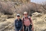
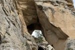
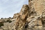
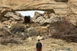
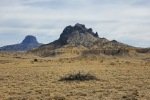
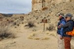
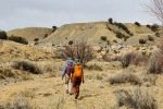
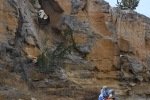
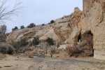
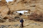
Went to the Rio Puerco to hike with Jay and Nancy, her first visit to Tapia Canyon. From the large number of visits t0 my previous posts for Tapia Canyon, this is a popular destination.
The Drive In
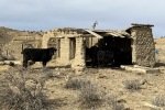
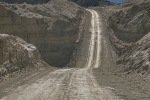
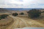
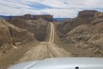
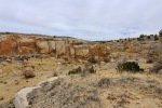
Not much to add this trip to the description on my most recent visit to Tapia Canyon, Tapia Canyon Hike – 04/06/2020. See the Photo Galleries below for photos and comments on our drive in this trip.
The Hike
Notes about the Google Earth screenshot: the graph at the bottom shows elevation of the track (pink area) and speed (the blue line).
Descriptions from our previous hikes tell much the same story as for this hike. Tapia Canyon Hike – 04/06/2020 provides a good description overall, including the .gps track. And an earlier hike with Jay, Tapia Canyon & Tower Ruins Hike – 11/19/2016 (with .gpss track) describes the climb out of the canyon to see the Tower Ruins. (Note: Now I prefer to refer to “Ruins” as the “Tower Ceremonial Site”. The area is closed to the public for 2 weeks 4 times per year for “.. sacred native American traditional activities”. And there is little evidence typical of ruins at other sites that I’ve visited.)
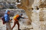
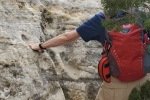
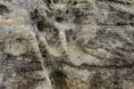
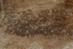
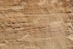
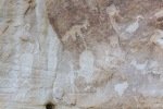
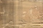
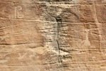
 An update, tho’, about the climb out: during this hike I had forgotten about the steps Jay and I found back in 2016. Jay had a clear memory of them, but not where they were located. As we hiked down-canyon we scrutinized the right-hand wall looking for something we recognized. Almost to the point of giving up, we checked one more suspicious break in the wall, and behind a couple of juniper trees were those footsteps (or footholds). Adding to our previous visit: this time we noticed some amazing petroglyphs on the wall at the bottom of the steps and more at the top.
So up onto the mesa we went, looked at the block building and kiva circles of rocks, then continued on to an easy descent back into the canyon.
Jay here: Funny (or not) how the memory is either crystal clear or hazy. In the case of the foothold path up to the mesa and the Tower, I remembered very specific details about the route but not how far back up the canyon it was from the arch. Only that it was on the right side of the canyon and that it was obscured somewhat by vegetation. Once you got close to the canyon wall, the route was obvious. Perseverance paid off and the path looked exactly as I remembered.
Statistics
Total Distance: 5.65 miles
Elevation: start 5,959 ft, maximum 6,168 ft, minimum 5,929 ft
Gross gain: 239 ft. Aggregate ascending 753 ft, descending 753 ft
Maximum slope: 29% ascending, 25% descending, 3.6% average
Duration: 4:10
| GPS Track Files for Download | |
53 Downloads |
|
|---|---|
62 Downloads |
|
If you haven’t explored these hiking tracks with Google Earth, I urge you to try it. With the virtual 3-dimensional presentation, achieved by panning and tilting the view, you can get a much better idea of the hikes and terrain than you can get from the screenshot above. For some ideas, check out Using Google Earth Track Files.
Related Posts
Tapia Canyon Hike – 04/06/2020
Tapia Canyon & Tower Ruins Hike – 11/19/2016
References and Resources
See the other Related Posts.
The next gallery are a few of the photos of petroglyph panels that I took during this visit. Check to other posts for other photos of these and other panels.
Last Updated on August 16, 2022 by George Young


