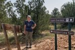
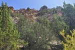
Villanueva has been on our list for some time; we made it this day.
The Drive In
East from Albuquerque on I-40 (62 miles), continue 12.3 miles past Clines Corners, turn north on NM 3, 20.4 miles to the village of Villanueva. At the main intersection in the village, turn right onto county road B29E which takes you to the Villanueva State Park, at the end of the road. There you will find 33 campsites (some with electric) and plenty of parking.
We enjoyed very much the drive north from Clines Corners. To me it represents typical northeast NM plains, flat and open. (As a friend once said, in places like this if your dog runs away you can still see him 3 days later.) There are occasional low-lying mesas along the way, the road crosses Arroyos Calaveras and Guajalote, and on higher ground juniper/piñon forests are prevail. And throughout – lush grassland (for NM). I wrote, ‘flat and open’, that is – until one comes upon the cañon of the Rio Pecos – then the land drops off quickly, some 500 feet to the cañon floor. (This is an experience I’ve encountered in other places in NE NM, such as the cañon of the Canadian River; we must go there one day – Mills Canyon Campground maybe?).
The Hike
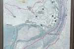
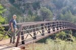
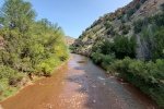
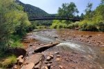
There are three trails, a short one along the Pecos River and a half mile trial onto the mesa above the campground to the north. The 3rd trail, the Viewpoint Loop Trail,  crosses over the Pecos River on a bridge, proceeds along the south side of the river, then up onto the mesa. It continues along the edge of the mesa for .9 miles descending gradually until a steep descent to the valley floor. The return to the bridge is on a narrow trail between the mesa cliff and the river (see map -PDF).
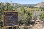
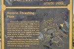
 We hiked the loop counterclockwise, choosing first what we thought would be the steeper climb. What seemed like midway up we passed the remains of farm and ranching operations – ’tis interesting that they chose this site, up on the slopes of the mesa, for a threshing floor, corral, and other facilities. (It “seemed like” midway up, but we learned that most of the elevation gain to the mesa top was to follow.)
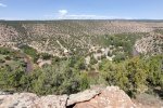
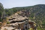
 At the top of the ascent, for our mid-hike break, we took the spur to Upper Overlook, a set of shelters overlooking the valley. The view, particularly up the valley, was great. Back on the trail, it followed the -edge- of the mesa above the river (not too close to the edge, unless one wished to check it out –
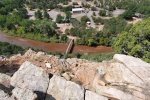
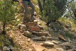
  thus the photo looking down upon the campground). The trail (well marked and well traveled) continued along atop the mesa until descending back to the river’s edge (and this proved to be steep also, but with steps kindly put in place on the steepest parts). From there the trail followed the edge of the river (between the river and the bottom of the mesa face) until terminating back at the bridge.
Statistics
Total Distance: 2.15 miles
Elevation: start 5,747 ft, maximum 6,175 ft, minimum 5,745 ft
Gross gain: 430 ft. Aggregate ascending 654 ft, descending 655 ft
Maximum slope: 40% ascending, 37% descending, 10.5% average
Duration: 2:41
| GPS Track Files for Download | |
116 Downloads |
|
|---|---|
110 Downloads |
|
I urge you to explore our hiking tracks with Google Earth. With the virtual 3-dimensional presentation, achieved by panning and tilting the view, you can get a much better idea of the hikes and terrain than you can get from the 2-dimensional screenshot above. For assistance: Using Google Earth Track Files.
References and Resources
NM State Parks: Villanueva State Park
Villanueva State Park Trails (PDF)
AllTrails: Viewpoint Loop Trail


