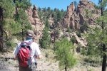
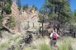
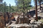
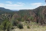
One of our early trips into the Jemez.
The Hike
This hike is an easy one, leaving the parking area on a two-track, past some strip mines and what looks like the ruins of a one-room Pueblo structure. We took the wrong turn .3 miles into the hike, going to the right through a fence. After climbing to the top of the mesa/ridge, we figured out our mistake and followed a two-track down into Paliza Canyon and southwest to the Colony. The view from atop the ridge, looking south down Paliza Canyon, was amazing. As were the Goblins.
Statistics
Total Distance: 3.86 miles
Elevation: 6,847 start, 7,357 maximum, 6,847 minimum
Gross gain: 510 ft. Aggregate ascending 824 ft, descending: 824 ft
Maximum slope: 27% ascending, 31% descending, 7% average
Duration: 3:03
| GPS Track Files for Download | |
244 Downloads |
|
|---|---|
221 Downloads |
|


