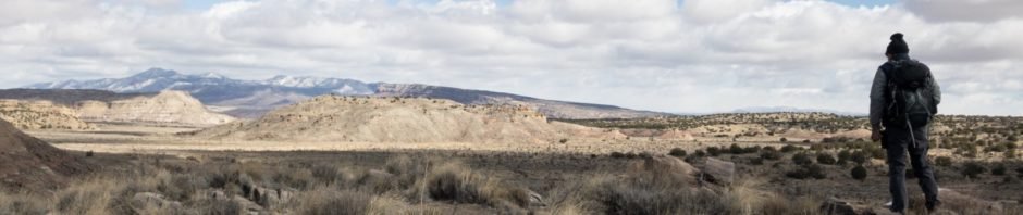
On this hike we set out to simply explore sections of the Ojito Wilderness that we had not yet visited. Since the weather was to be cold and windy, I set out to plan a hike that stayed in canyons and arroyos, steering clear of open territory like mesa tops. Using GoogleEarth and the Earth Point Topo Map overlay, I sketched a track that circumscribed a mesa (one that we had hiked before, Dinosaur Dig).
The Hike
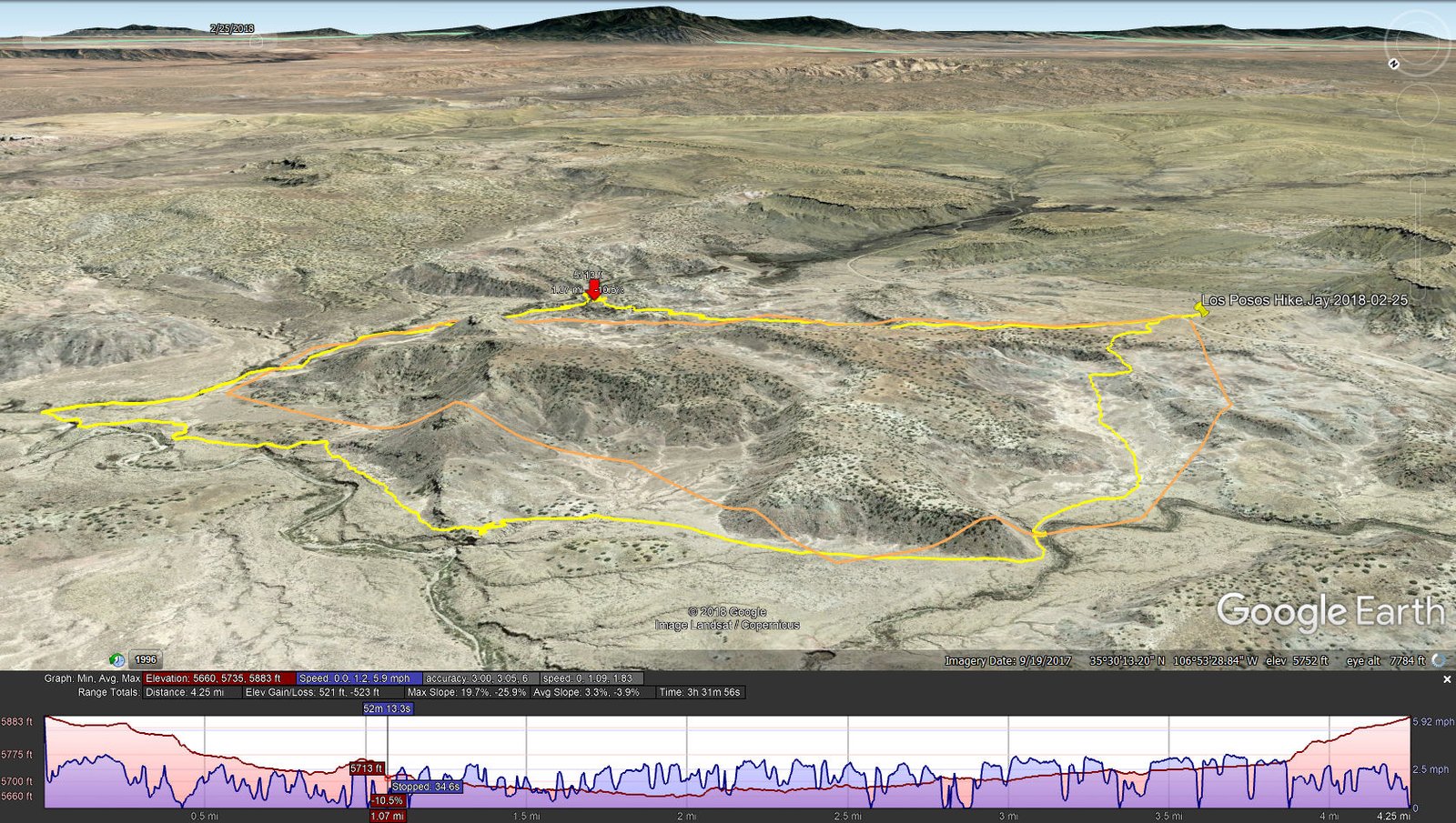
Los Posos Hike.Jay.2018-02-25
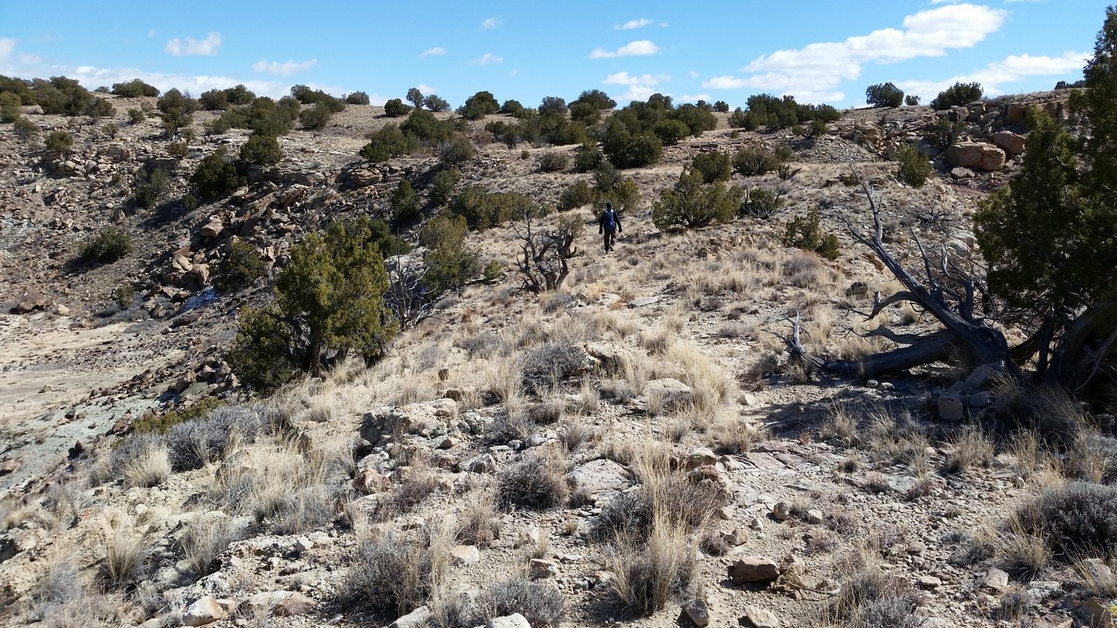
As expected, we began the hike with wind and 38 degrees. We soon were in the lee of the mesa which protected us somewhat from the wind. We then faced the first of two rocky descents in narrow clefts in the terrain – not great distances but required extra care on the rocks, some of which were covered with a dusting of snow.
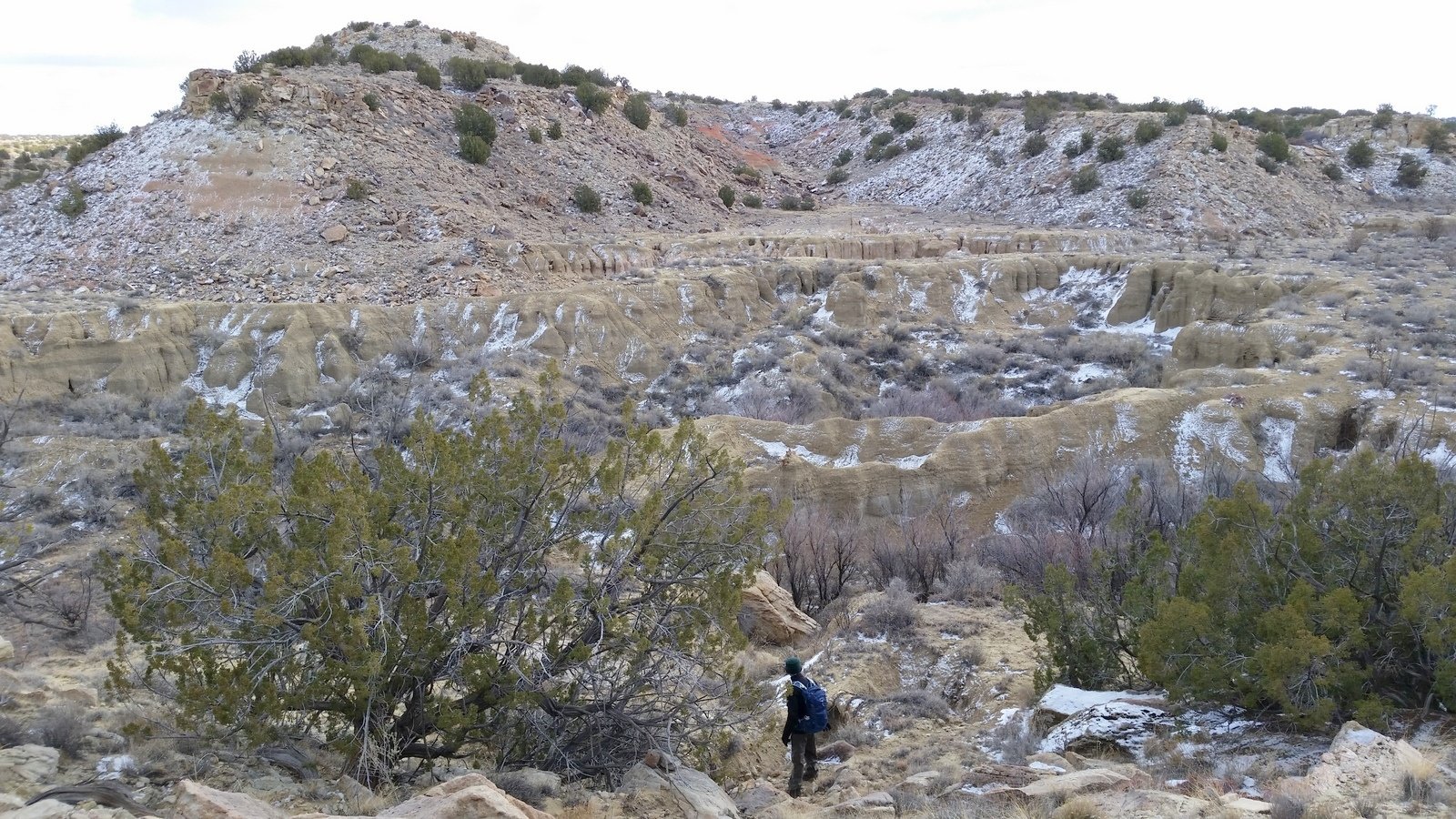
 About .8 mile into the hike we found ourselves looking down into deep washed-out arroyos with vertical walls 10′, maybe 15′ in height. Skirting the first one, we found ourselves in the between such arroyos. It seemed our only way to the north side of the mesa was to get down into the arroyo (and hope we could get back out of it downstream). Looking into the depths, I noticed .. cow paths. Figuring they know their way around, we took up tracking these paths. Sure enough, we found a way down into and back out of the arroyo.
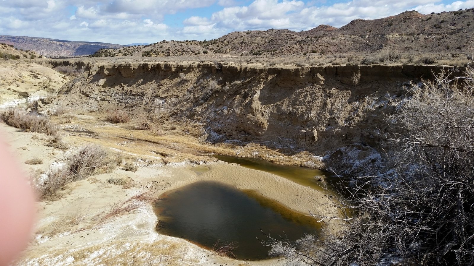
 Having come abreast the north side of the mesa, we headed west across open space. This also happened to follow Arroyo La Jara which has a fairly large watershed, and in which there was a stretch of standing water and ponds. Before turning south to complete the circumnavigation, we stopped for the mid-hike break in the lee of a rock outcropping with a few juniper trees. Try as we might, we did not find a spot that was totally out of the wind – oh well, time for coffee, snacks, and a bit of whiskey to really warm us.
 The remainder of the hike was easy, just a small ascent near the end. There was a section that seemed familiar – only when I reviewed past hikes did I realize that we passed a section of the mesa where we had ascended to the top, and that we passed below the site of the Dinosaur Dig.
This was another hike for which we did not have references from other hikers. It brought home the realization that one can easily go most anywhere in the Ojito for a great hike. The geology is vastly varied; interesting soils and rocks, picturesque multi-colored mesa walls, the results of Mother Nature’s sculpting of the land, and more. Try as we might, the photos simply cannot bring to the reader of these reports the fascinating features of the Ojito Wilderness.
(A note: One can become disoriented in this land that could be described as trackless. We have a plan for these outings, we bring a GPS cellphone/tablet with our intended track, and we use the GPS to follow our progress and at times for directions along the track and, of course, guidance back to the truck.)
Jay here: Speaking of cows, we kept running into them. Well, not into them as much as around them. The most amusing meeting was when we came across 7 cows and a calf and there was a standoff on opposite sides of a deep arroyo until we made it clear we were going another way. We do admire and appreciate all the trails they leave for us to follow.
Statistics
Total Distance: 4.25 miles
Elevation: start 5,883 ft, maximum 5,883 ft, minimum 5,660 ft
Gross gain: 223 ft. Aggregate ascending 521 ft, descending 523 ft
Maximum slope: 20% ascending, 26% descending, 3.3% average
Duration: 3:32
| GPS Track Files for Download | |
201 Downloads | |
|---|---|
168 Downloads | |
270 Downloads | |
232 Downloads | |
I urge you to explore our hiking tracks with Google Earth. With the virtual 3-dimensional presentation, achieved by panning and tilting the view, you can get a much better idea of the hikes and terrain than you can get from the 2-dimensional screenshot above. For assistance: Using Google Earth Track Files.
Related Posts (in the vicinity)
References
BLM: Ojito Wilderness Area
BLM: Ojito Wilderness (.pdf Brochure)
WikipediA: Ojoto Wilderness
Wilderness Connect: Ojito Wilderness
The Blonde Coyote: Into the Ojito Wilderness
The American Southwest: Ojito Wilderness Area
The Armchair Explorer: Ojito Wilderness


