Jay & I have looked forward for many months to tackle this hike, having been put off on our first try by a rare rainy day, and since then waiting for cooler fall weather.
The Hike
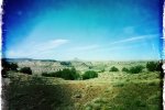
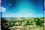
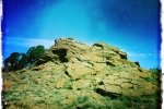
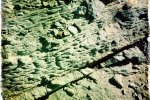
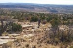
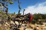
From the parking lot, up the hillside, the terrain was fairly easy; we were following in general a track downloaded from ASCHG. The terrain was not too steep and the ground was dirt with some rocks, and very interesting rocks and rock outcroppings. After following a two-track about 2/3 of the distance to the top of the loop, we then picked up a bike trail (this area is adjacent to the Red Mesa Bike Trials area, frequented by off-road bicyclists). We’re still wondering where the bike trail came from and where it went.
After our mid-hike coffee break, we headed down the other side of the loop. But .. that canyon just west of our track was very deep and narrow, with very steep sides. The one place where we were able to descend into that canyon, we encountered a pool of water from wall-to-wall. So we ascended back up to higher terrain, then found it necessary to work our way up the side canyons until they were shallow enough to permit us to cross. All in all, this was an interesting hike, and the area is worth exploring more in the future.
Jay here: That mountain bike track was insane. It went along side deep canyons, over extensive ledges, and had numerous jumps of 2-3′ landing on irregular rock surfaces. The only way I could watch someone ride that trail is with my eyes closed. A very strenuous hike for one that we thought would be easier.
Statistics
Total Distance: 4.57 miles
Elevation: 5,534 start, 6,372 maximum, 5,534 minimum
Gross gain: 833 ft. Aggregate ascending 1,056 ft, descending: 1,057 ft
Maximum slope: 27% ascending, 26% descending, 7% average
Duration: 4:34
| GPS Track Files for Download | |
173 Downloads |
|
|---|---|
216 Downloads |
|


