Seeking cooler temperatures, we headed for higher elevation – the Sangre de Christo mountains and the Aspen Vista trail. We began at nearly 10,000 feet; ’tis a steady climb up 3.4 miles to 11,300 feet. Air temperature was much cooler than in Albuquerque or even Santa Fe (well above 90 there); more like upper 70s on top (‘tho we descended into warmer temperatures, finishing the hike mid-afternoon).
The Hike
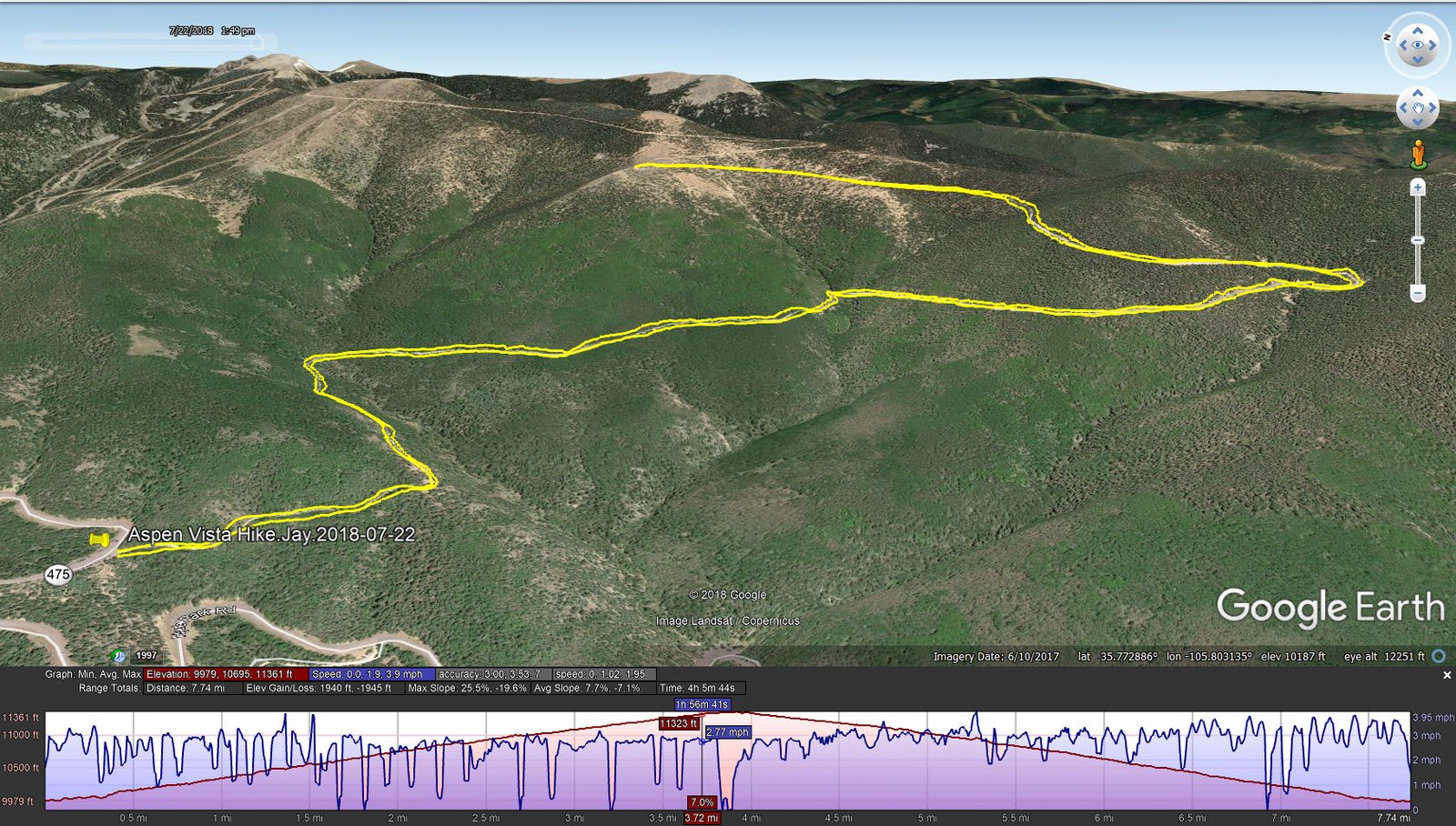
Aspen Vista Hike.Jay.2018-07-22
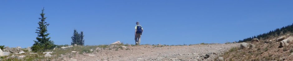
This trail is a well used two track; ‘tho not crowded on this Sunday, we encountered maybe 40 day hikers and a few mountain bikers. We could see why this trail is dubbed “Aspen Vista”; there are very large groves of very tall aspen for about two miles from the trailhead. Then nearing 11,000 feet elevation, the forest becomes primarily douglas fir and spruce. Because of the forest, there are few opportunities for vista views, although on this day smoke and humidity hindered getting a clear picture across Santa Fe, the Rio Grande valley, and to the Jemez mountains. At the top of our hike (half way to the advertised end at the peak above Santa Fe Ski Basin), we did enjoy a more open view from north, west, and south.
Jay here: Long uphill slog to get to a magnificent view and of course the elevation is always a reminder that most of our hiking is done well below 8,000 feet. You would think that downhill all the way back would be easier…but you would be wrong. It still requires you to put one foot behind the other.
Statistics
Total Distance: 7.74 miles
Elevation: start 9,979 ft, maximum 11,361 ft, minimum 9,979 ft
Gross gain: 1,381 ft. Aggregate ascending 1,940 ft, descending 1,945 ft
Maximum slope: 26% ascending, 20% descending, 8% average
Duration: 4:06
| GPS Track Files for Download | |
448 Downloads | |
|---|---|
177 Downloads | |
I urge you to explore our hiking tracks with Google Earth. With the virtual 3-dimensional presentation, achieved by panning and tilting the view, you can get a much better idea of the hikes and terrain than you can get from the 2-dimensional screenshot above. For assistance: Using Google Earth Track Files.
References
ASCHG: Aspen Vista Hike
ondafringe: Day Hike: Aspen Vista
Trails Alliance of Santa Fe: Local Trails (scroll down to Aspen Vista Trail)
AllTrails: Aspen Vista Trail


