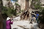
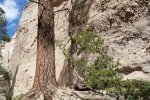
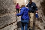
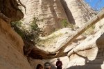
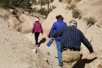
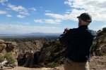
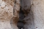
Pat’s brother Steve and wife Sharon visited us, giving us the opportunity to show them a view pieces of New Mexico.
The Hike
After spending the morning in Santa Fe (Pat & Sharon) and flying north to Abiquiu (Steve and me), we went to Kasha-Katuwe Tent Rocks National Monument. Such a great place to show visitors one of New Mexico’s “wonders”.
Statistics
Total Distance: 2.66 miles
Elevation: start 5,758 ft, maximum 6,382 ft, minimum 5,758 ft
Gross gain: 624 ft. Aggregate ascending 922 ft, descending 9.22 ft
Maximum slope: 74% ascending, 74% descending, 16% average
Duration: 1:45 (ascent; coffee break and descent unknown)
| GPS Track Files for Download | |
165 Downloads |
|
|---|---|
124 Downloads |
|


