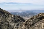
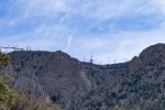
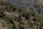
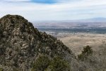
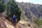
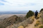
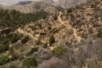
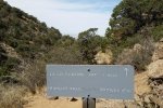
Revisiting the ‘famous’ La Luz trail. We hiked it 4 years ago but went a bit further this time.
The Hike
Highlights this day were:
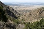
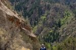
- Of course the views ..
- across the Rio Grande Valley and the city, and
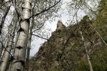
- -up- to the heights of the northern Sandia Mountains, the Crest as well as other rugged formations on this west side of the mountain.
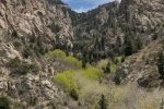
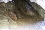
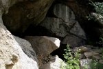
- With guidance from another hiker (who has been hiking the Sandias for 40 years) a cave in a densely wooded, narrow canyon.
Jay here: This hike was a good reminder of what we like and don’t like about hiking in the Sandias, particularly as the weather gets warmer. So the good thing about it is the fantastic views. And the bad thing is that there’s no cover to speak of, so you can end up feeling like a candy bar in a wrapper on the dashboard of a hot car. The shady glade by the hard to find cave was the only relief from the heat.
Statistics
Total Distance: 7.08 miles
Elevation: start 7,022 ft, maximum 8,692 ft, minimum 7,022 ft
Gross gain: 1,670 ft. Aggregate ascending 2,104 ft, descending 2,104 ft
Maximum slope: 41% ascending, 40% descending, 10% average
Duration: 4:59
| GPS Track Files for Download | |
249 Downloads |
|
|---|---|
0 Downloads |
|
If you haven’t explored these hiking tracks with Google Earth, I urge you to try it. With the virtual 3-dimensional presentation, achieved by panning and tilting the view, you can get a much better idea of the hikes and terrain than you can get from the screenshot above. For some ideas, check out Using Google Earth Track Files.
References
USDA Forest Service: La Luz Trailhead and La Luz Trail 137
ASCHG: La Cueva – La Luz Scenic Loop Hike
Hiking Project: La Luz Trail
SummitPost.org: La Luz Trail
AllTrails: La Luz Trail
Wikipedia: La Luz Trail
Cloudhiking Mountains: Sandia Mountains – La Luz Trail
Backpacker: Albuquerque, NM: La Luz Trail
Backpacker’s Review: La Luz Trail – Cibola National Forest (8 miles)


