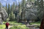
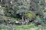
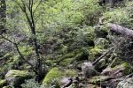
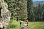
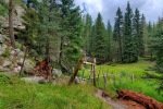
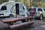
Camped for 3 nights at the Jemez Falls Campground with Jay, Nancy, and Bo. After setting up at the campsite, we took a walkabout down a trail from our campsite towards Jemez Falls. On the 2nd day with Pat and Jay we hiked the Las Conchas Trail in the morning and did another walkabout with Pat, Jay, and Bo in the afternoon.
The Drive In
From Jemez Falls Campground, we drove 4.5 miles east on NM 4. Parking at the traihead was full, so we continued another quarter mile to parking in front of a popular climbing wall (no climbers this day).
The Hike
Notes about the Google Earth screenshot: the graph at the bottom shows elevation of the track (pink area) and speed (the blue line).
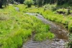
We’ve hiked this trail before, one of our favorites. Notable on this visit to the trail were the wide range of flowers in bloom, courtesy I suppose of the quite wet monsoon season we enjoyed this year. (Nancy didn’t join us, rather staying in camp to look after the new addition to our crew – Bo their Sheltie puppy).
While camping in Jemez Falls Campground, we made a couple of short hikes from our campsite, #28. These were quite pleasant hikes on lightly used trails, going to an overlook above the Jemez River and it’s Falls. One -could- go down into the cañon to the Falls, but we weren’t up to it, for the 1st after arriving after our drive from Albuquerque, and for the 2nd after our hike on the Las Conchas Trail (tracks below are for this 2nd short hike).
Before returning to the Campground, we continued east on NM 4 to take a (longing) look at Valles Caldera. Check out this movie Valles Caldera from NM 4, 08/23/2022, our best shot at sharing with you the vastness and beauty of this special place in New Mexico.
Highlight
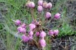
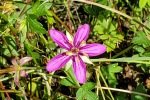
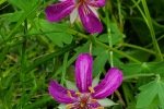
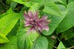
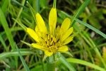
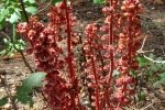
With the prodigious monsoon rains this year, New Mexico has turned green (even out in the normally brown/tan grasslands and scars from recent wildfires). And with the green comes an abundance of flowers. I counted more than 30 different blossoms on our hikes – check out the photo gallery below.
Statistics
Los Conchas East Trail
Total Distance: 3.57 miles
Elevation: start 8,400 ft, maximum 8,422 ft, minimum 8,328 ft
Gross gain: -94 ft. Aggregate ascending 881 ft, descending 884 ft
Maximum slope: 48% ascending, 40% descending, 6.1% average
Duration: 2:40
Jemez Falls Trail from Site 28
Total Distance: 1.97 miles
Elevation: start 7,965 ft, maximum 8,014 ft, minimum 7,835 ft
Gross gain: 179 ft. Aggregate ascending 548 ft, descending 548 ft
Maximum slope: 36% ascending, 43% descending, 9.4% average
Duration: 1:18
| GPS Track Files for Download | |
107 Downloads |
|
|---|---|
127 Downloads |
|
98 Downloads |
|
134 Downloads |
|
If you haven’t explored these hiking tracks with Google Earth, I urge you to try it. With the virtual 3-dimensional presentation, achieved by panning and tilting the view, you can get a much better idea of the hikes and terrain than you can get from the screenshot above. For some ideas, check out Using Google Earth Track Files.
Related Posts
Hikes on Las Conchas East Trail
References and Resources
The Campground
USDA Forest Service: Jemez Falls Campground (includes line to Recreation.gov)
CampsitePhotos: Jemez Falls Campground
The Trail
USDA Forest Service: Las Conchas Trailhead
Las Conchas Trail
Jemez Falls Trailhead (from Group Campground to the Falls)
AllTrails: East Fork Trail via Las Conchas Trailhead
Jemez Falls Trail (from Group Campground to the Falls)
SummitPost: Las Conchas, Jemez (for the rock climbers)
Santa Fe New Mexican: Day Hike: Lingering along Las Conchas Trail
World of Waterfalls: Jemez Falls
Flowers were very abundant along the Conchas trail and on the hike from the campsite. I counted 30+ different blossoms, many more than we’ve seen before. Here is a sampling of those we saw:


