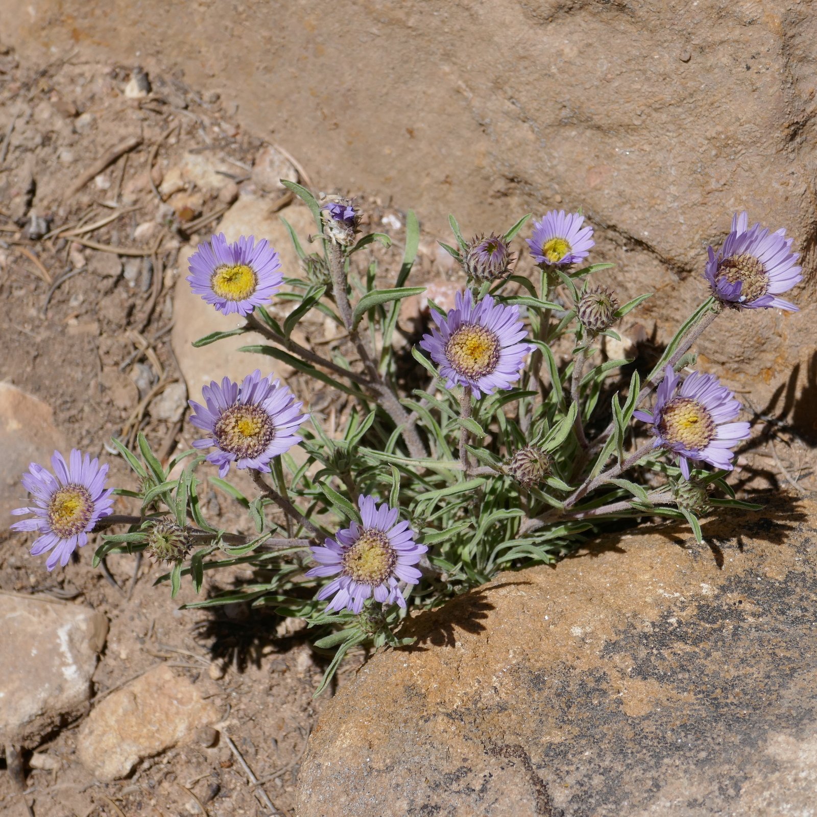
Another hike near Santa Fe (thus, having a new tag: Urban for hikes easily accessible for folks living in the city). This makes a quite nice loop, with easy trail surfaces and moderate elevation changes and slopes. It begins along the Little Tesuque Creek, which on this day had a very nice flow making this first half mile or so very pleasant – the burbling stream, many grasses and flowers, and shade from the ponderosa and other trees.
The Hike
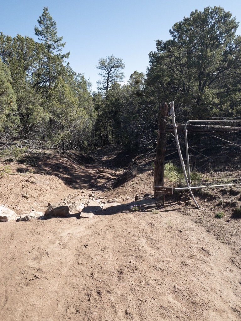
About .2 mile down the canyon we encountered a Y in the trail, we “took it” – to the left, continuing on down Tesuque Creek. At the half mile point we turned right/uphill onto Carol’s Trail – no stream here and a climb up to the boundary between Dale Ball Open Spaces and the Santa Fe National Forest. From there the trail remains on the ridgetop until a quick descent into Tesuque Creek and the Winsor Trail (1.8 miles into the hike).
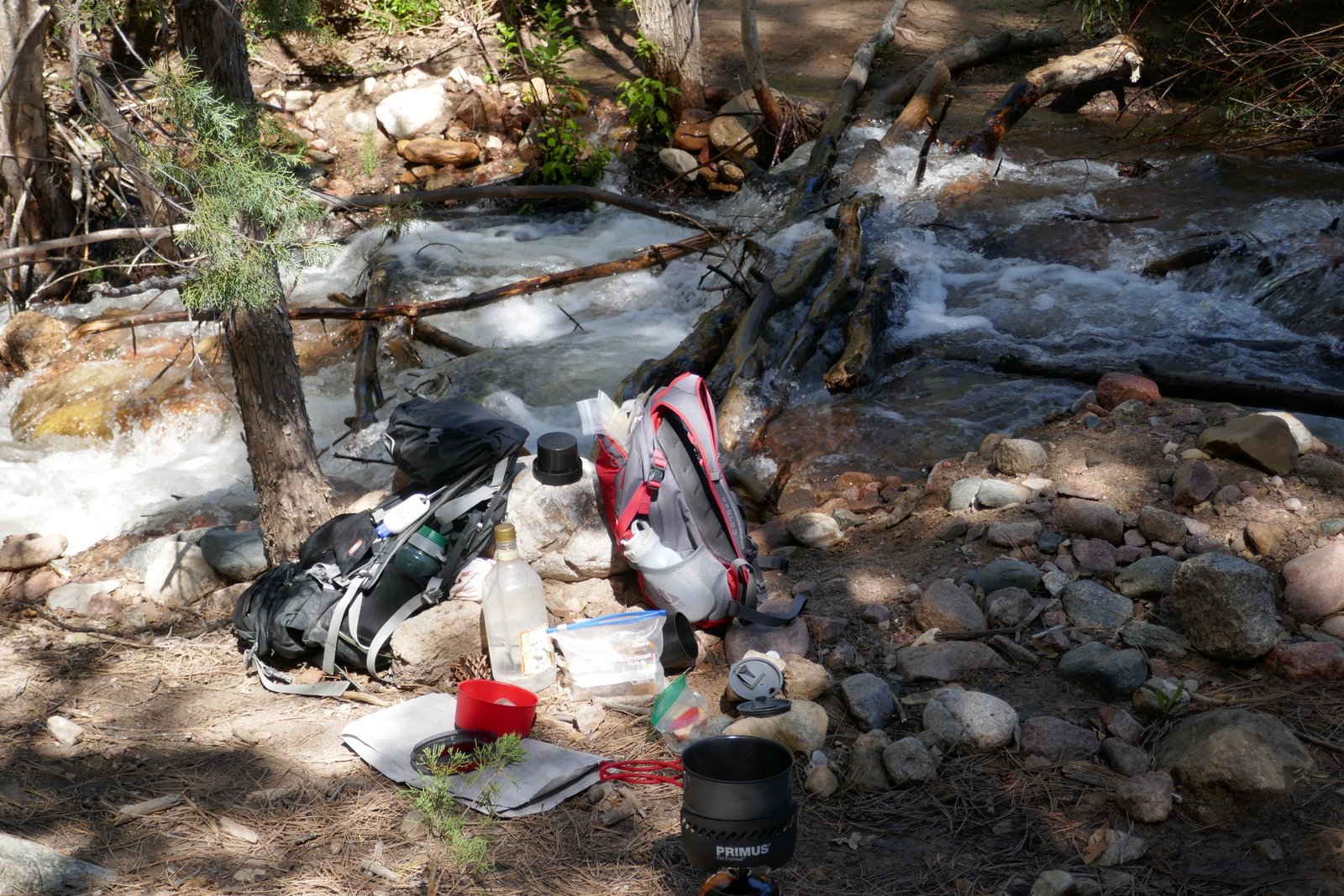
We chose a spot along the fast-flowing Tesuque Creek for our mid-hike break, close to the stream (flowing over rocks: noisy). A few yards up the Creek we turned onto Juan Trail to head back to the trailhead. Juan Trail proceed up (Juan?) Canyon for a mile, then climbs quickly onto a ridge. From there it descends gently back to it’s junction with the Little Tesuque Trail/Creek; from there proceed upstream to the trailhead on Hyde Park Road.
This is one of many really great hikes near Santa Fe. Four miles, 600 ft elevation (‘tho more than 1000 feet ups/downs), two creeks offering shade. Better to go early in the day because some of the trail is on ridgetops where the sun will make it feel hot. Enjoy.
Statistics
Total Distance: 3.94 miles
Elevation: start 7,536 ft, maximum 7,852 ft, minimum 7,508 ft
Gross gain: 621 ft. Aggregate ascending 1.132 ft, descending 1,134 ft
Maximum slope: 41% ascending, 33% descending, 9.3% average
Duration: 3:27
| GPS Track Files for Download | |
144 Downloads |
|
|---|---|
165 Downloads |
|
If you haven’t explored these hiking tracks with Google Earth, I urge you to try it. With the virtual 3-dimensional presentation, achieved by panning and tilting the view, you can get a much better idea of the hikes and terrain than you can get from the screenshot above. For some ideas, check out Using Google Earth Track Files.
References
USDA Forest Service: Juan Trail #399
Arcgis: Santa Fe County Trails (a Very Good interactive map)
Southern New Mexico Explorer: Juan Trai l(FT 399), Winsor Trail (FT 254)


