This is our first hike on a trip with our R-Pod camper trailer to the Sawtooth Mountains and Salmon River in Idaho. Having spent 4 days of driving, and a day in Salt Lake City, we set up camp in Mackay, Idaho for 2 nights, sort of a preface for our main attraction, hiking in the Sawtooths.
The Drive In
Mackay is situated on open desert in the Lost River Valley. But it lies between mountain ranges: the Lost River Range to the northeast and the White Knob Mountains to the southwest. These ranges, on both sides of the Canyon, rise to over 11,000 feet. The drive in from the outskirts of Mackay was straightforward – to the northeast edge of town, where Main Street turns right, becoming Bar Road.
The Hike
 Some intense research over the weeks prior to our departure turned up this trail right close to Mackay.
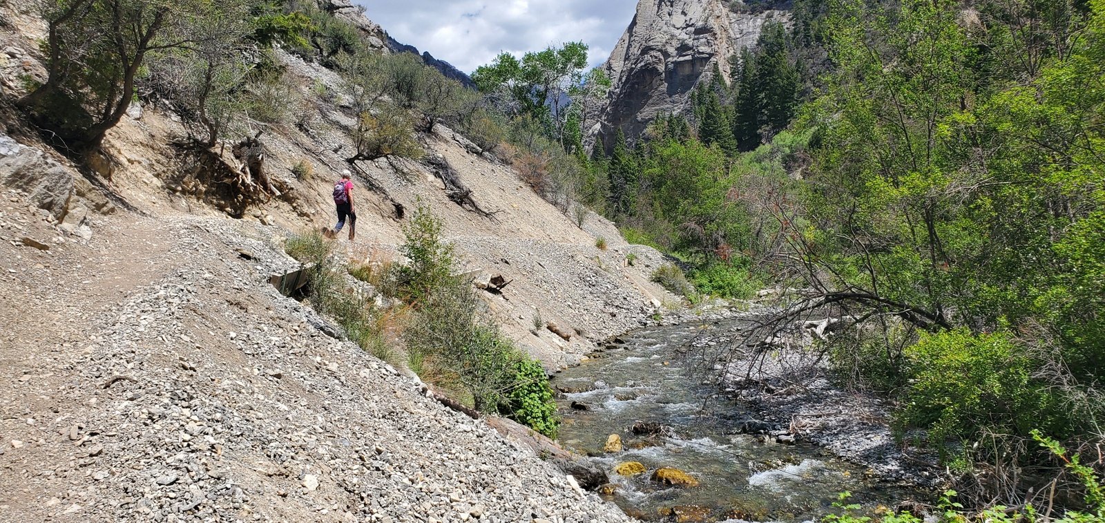
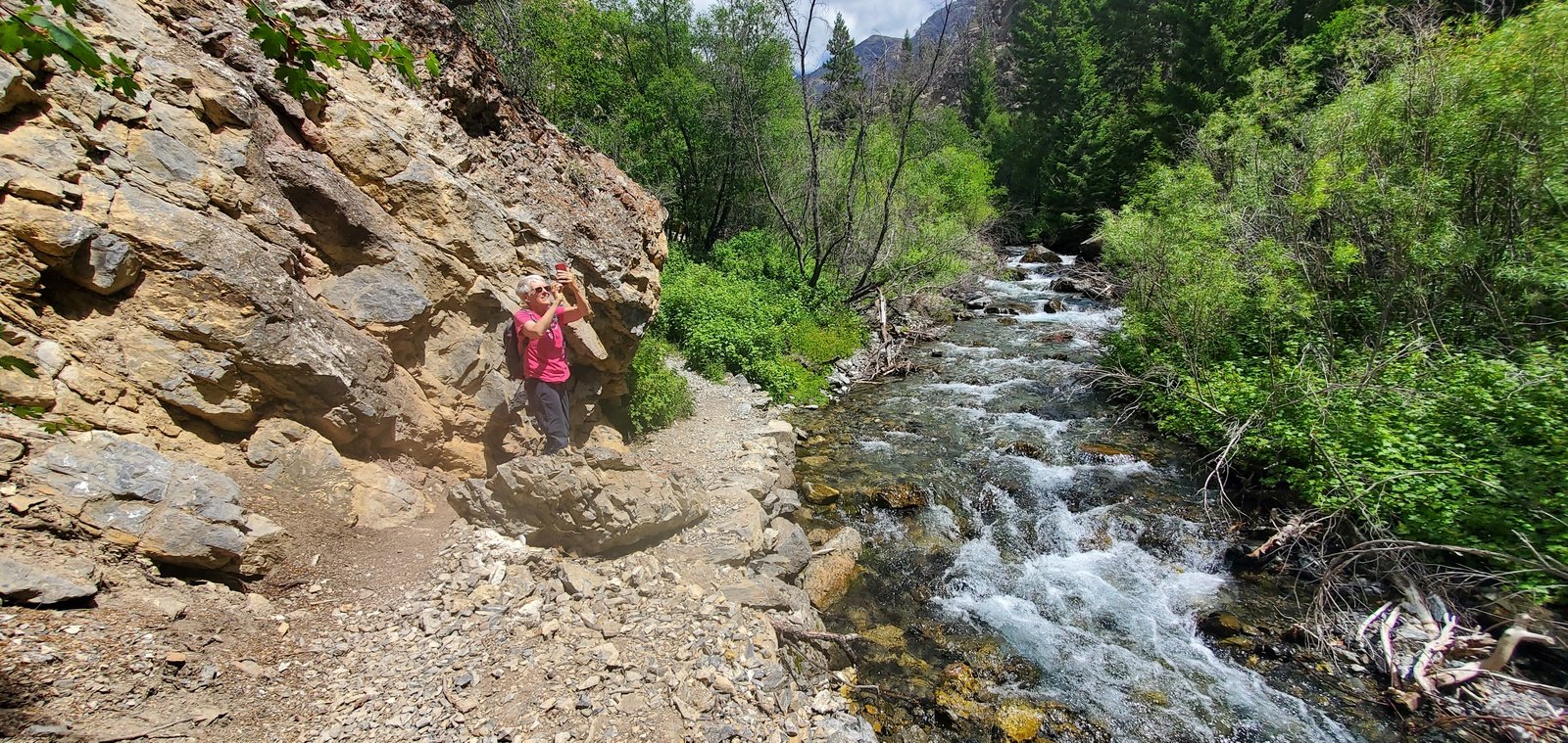
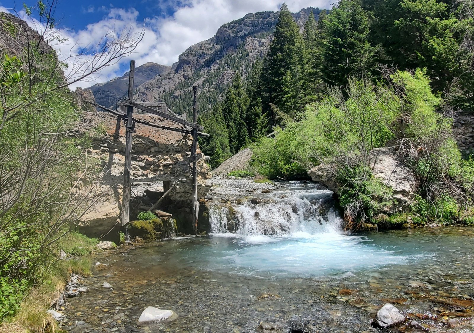
Lower Cedar Creek Canyon is quite narrow with a strong stream flowing towards the desert beyond the mouth of the canyon. But the Canyon is wide enough to allow for quite nice trail along the left bank. The slope is steady, from 6,770 to 7,140 in 1.3 miles. Then, for 2 tenths of a mile, the trail climbs steeply, alongside the  waterfall, for 200 feet or so. There we encountered the source of the stream – another water fall, coming right out of the side of a cliff.
Highlight
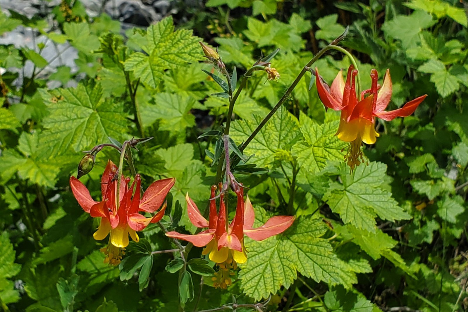
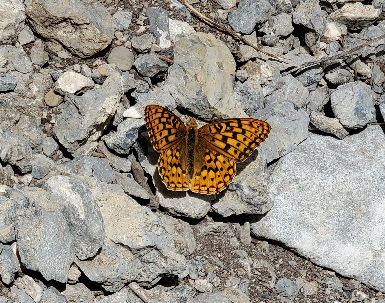
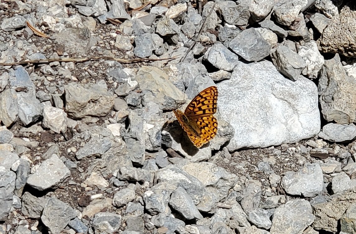
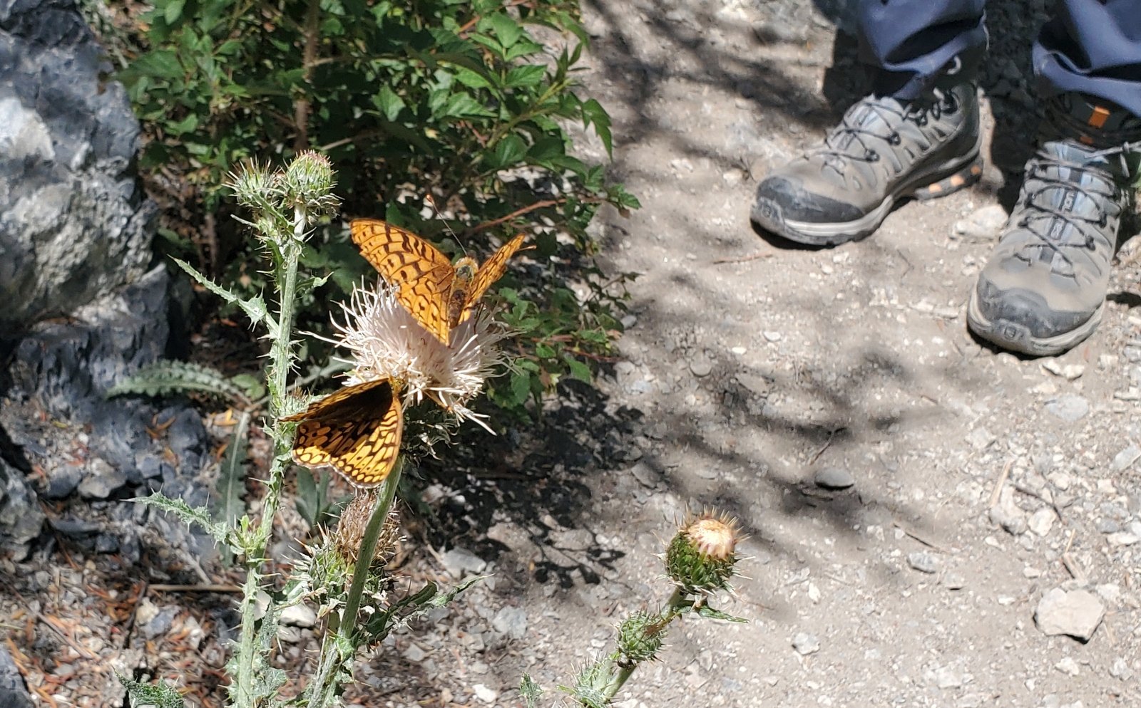
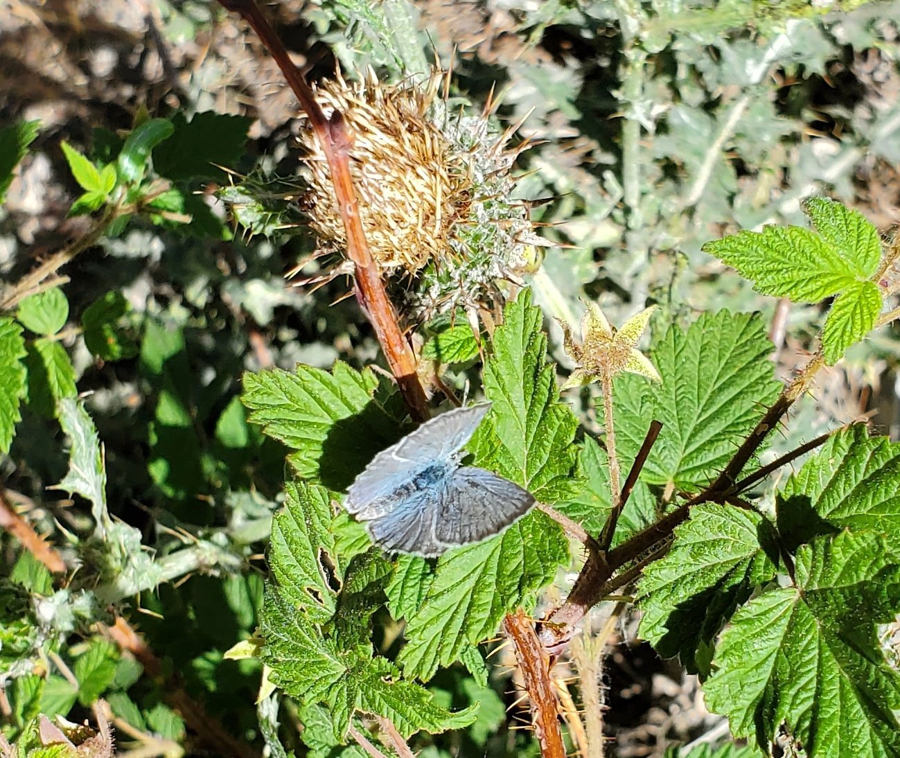
 There is so much green in the canyon – trees, “shrubs”, grasses, all manner of plants. And the flowers – so many shapes and colors. To top if off, we saw many butterflies, flitting from flower to flower (see the photo gallery below). It was difficult to keep in mind that just beyond the mouth of the canyon there is a desert environment.
Statistics
Total Distance: 3.25 miles
Elevation: start 6,772 ft, maximum 7,372 ft, minimum 6,772 ft
Gross gain: 600 ft. Aggregate ascending 1,160 ft, descending 1,160 ft
Maximum slope: 38% ascending, 47% descending, 10.4% average
Duration: 3:36
| GPS Track Files for Download | |
111 Downloads |
|
|---|---|
121 Downloads |
|
104 Downloads |
|
129 Downloads |
|
If you haven’t explored these hiking tracks with Google Earth, I urge you to try it. With the virtual 3-dimensional presentation, achieved by panning and tilting the view, you can get a much better idea of the hikes and terrain than you can get from the screenshot above. For some ideas, check out Using Google Earth Track Files.
References and Resources
USDA Forest Service: Lower Cedar Creek Trail #4382
Only in Your State: The Lower Cedar Creek Falls Trail …
AllTrails: Lower Cedar Creek Falls
Hiking Project: Lower Cedar Creek Falls Trail #4382
The Outbound: Hike to Lower Cedar Springs


