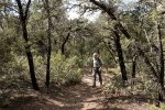
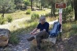
Today we needed a hike for a short day, closer to ‘home’ than the Jemez or San Pedro Parks. Opted to hit a trail on the northwest section of the Cedro Peak area of the Sandia Ranger District.
The Drive In
To get to the trailhead, drive east from Tijeras on NM 333 (old Route 66), turn right on FR 462/Bartoloa Baca Rd/Kennedy Rd ( a bit over 3 miles from the main intersection in Tijeras). About a mile up FR 462 you will find parking on the left (just before the road becomes -really- rough). Trails in this area are used heavily for mountain biking, tho’ we saw none on this Sunday.
The Hike
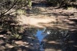
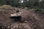
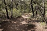
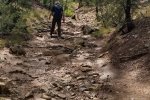
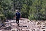
The trail proceed up a ravine for about a mile, on a surface that is quite rocky. The remainder of the trail was easier, with only short sections of rocky surface. At the intersection with Gear Grinder and Pinyon trails, we chose to go right onto Gear Grinder. The trail was easy to follow for a half mile or so, but we weren’t able to find it where it headed south. After casting about for a few minutes, we headed southeast ‘cross country’, intercepting the well used and easy to identify Pinyon trail. The trek north on Pinyon was the easiest of the hike. We then followed Lower Pine back to parking.
Statistics
Total Distance: 6.18 miles
Elevation: start 6,694 ft, maximum 7,116 ft, minimum 6,694 ft
Gross gain: 422 ft. Aggregate ascending 1,151 ft, descending 1,143 ft
Maximum slope: 21% ascending, 19% descending, 6% average
Duration: 3:55
| GPS Track Files for Download | |
265 Downloads |
|
|---|---|
97 Downloads |
|
I urge you to explore our hiking tracks with Google Earth. With the virtual 3-dimensional presentation, achieved by panning and tilting the view, you can get a much better idea of the hikes and terrain than you can get from the 2-dimensional screenshot above. For assistance: Using Google Earth Track Files.
References
Cibola National Forest:
Lower Pine Traihead
Manzanita Mountains Trail Map (download .pdf)
MTB Project: Lower Pine


