After visiting various places in the Ojito Wilderness, then working our way west into the area around Cuba – Mesa de Cuba West, Mesa Penistaja, and Ceja Pelon Mesa, I came upon maps of ‘all’ the badlands, extending all the way to the Chaco River (The American Southwest’s Map of the San Juan Basin Badlands and NM Magazine’s Badlands Walkabout). It only seemed reasonable to next check out Lybrook. Talking with friends at the Albuquerque Downtown Growers Market, we decided to head out that way on a nice Sunday – before summer sets in here in New Mexico.
The Drive In
Tho’ others had taken a route that brought them in to Lybrook from the west, the maps showed a shorter route – entering from the east. Well … it is a good road for most of the way, but as one enters the Badlands proper it becomes more challenging. At mile 42.4 on the Lybrook Badlands DriveInOut track for Google Earth, the road goes down a -very steep- slope (we left the Badlands going out the west road). Otherwise, thanks to the oil and gas industry, the roads are quite good.
The Walkabouts
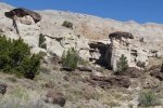
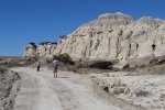
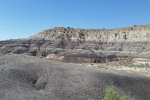
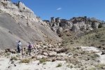
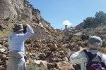
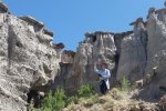
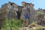
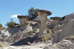
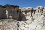
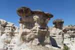
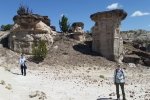
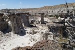
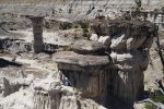
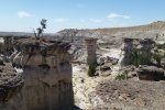
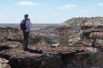
Using ACSHG’s GoogleEarth track, Lybrook Badlands, we followed the two-track to its end, beyond their parking spot. And there we found the most amazing formations. I labeled this outing a Walkabout because we just wandered among the hoodoos, into small cañoncitos, up on top of the ridges – everywhere we looked there were fascinating views, shapes, and textures. There isn’t really much more that I can describe – the photos speak well.
We checked out a second area – it was interesting but I think we may have been saturated by that time. So we enjoyed our mid-“hike” break, wandered about a bit more, then headed for home. Tis a bit of a drive (two and a half hours one way) but absolutely well worth it. Check out the references below for the reports from others who have visited Lybrook Badlands.
The Walkabouts
Walkabout 1
Total Distance: 1.68 miles
Elevation: start 6,977 ft, maximum 7,029 ft, minimum 6,943 ft
Gross gain: 86 ft. Aggregate ascending 267 ft, descending 267 ft
Maximum slope: 30% ascending, 28% descending, 6% average
Duration: 2:04
Walkabout 2
Total Distance: 0.79 miles
Elevation: start 6,928 ft, maximum 6,968ft, minimum 6,928 ft
Gross gain: 40 ft. Aggregate ascending 95 ft, descending 91 ft
Maximum slope: 27% ascending, 16% descending, 5% average
Duration: 0:48
| GPS Track Files for Download | |
376 Downloads |
|
|---|---|
251 Downloads |
|
520 Downloads |
|
280 Downloads |
|
I urge you to explore our hiking tracks with Google Earth. With the virtual 3-dimensional presentation, achieved by panning and tilting the view, you can get a much better idea of the hikes and terrain than you can get from the 2-dimensional screenshot above. For assistance: Using Google Earth Track Files.
References (roads, features, hikes, great photo collections):
ASCHG: Lybrook Badlands West from South Hike
.kml file: Lybrook Badlands – ASCHG
Here2Where: Lybrook Badlands
AllTrails: Lybrook Badlands
AztecNM: Lybrook (Badlands) Fossil Area (brochure, maps, features & formations)
Lybrook Badlands (Badlands Features Placemarks, .kml file)
The American Southwest: San Juan Basin Badlands
Map of the San Juan Basin Badlands
New Mexico Magazine: Badlands Walkabout, directory of the 5 badlands near Cuba, NM
Mike Spieth.com: A Lybrook Badlands Project
Badlands of New Mexico
Fox Dreams: The Story of New Mexico: The Lybrook Badlands
Jim Caffrey Images Photo Blog: The Other Badlands
PhotoTrek New Mexico – San Juan Basin Badlands: Lybrook Badlands
Westernlady’s World: Lybrook Badlands (in German, good maps)







Wow! Great photos!