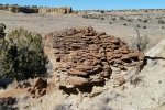
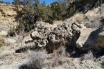
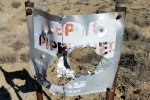
Having exhausted the hiking tracks from others, we’re setting off on our own in the Ojito Wilderness area. This time we explored a prominent mesa south of Cabezon Road and the boundary of the Wilderness. Using an exploration via Google Earth,we selected from 3 potentially interesting areas, a southward track up a canyon that splits the mesa, then across the top to descend to a “prospect” marked on the Topo maps (“prosect”: a potential mine before a claim is made?).
The Hike

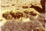
View to the North — Ojito Mesa South Hike.Jay.02/05/2017 – Exploring a mesa south of Cabezon Road and the Ojito Wilderness. In the background: Bernalillito Mesa, Hoodoo Pines, and Dinosaur Dig (previous hikes). And on the horizon, the Nacimiento Mountains, east of US 550 on the way from San Ysidro to Cuba. (Get the .KML file below into GoogleEarth to take the “tour”.)

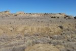
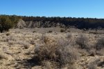
View to the South — Ojito Mesa South Hike.Jay.02/05/2017 – Exploring a mesa south of Cabezon Road and the Ojito Wilderness.
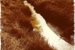
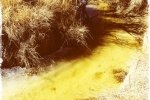
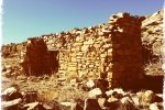
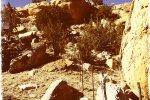
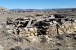
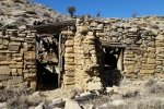
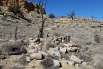
Parking just off Cabezon Road, we headed east to the entrance of the canyon, crossing a 10′ deep arroyo with frozen water where the sun doesn’t shine. Rounding the north eastern point of the mesa, we encountered a partially collapsed rock building, dug partially into the west face of the canyon. The wood supports of the roof had collapsed onto a table in the middle of the approximately 15′ square room, but windows and doors were still in place. In the area were other signs of habitation, including what we think must have been a small corral with a smaller rock structure. (See photos below.)
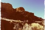
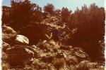
We continued south in the canyon, beneath 100′ t0 150′ walls of the west side of the mesa. The ground was largely dirt, with rocks nearer the canyon walls Overall the hiking was easy (especially when we could follow the numerous cattle trails). We encountered one of the best-built barbed wire fences we’ve seen, very tight wire not allowing one to make enough space to slip through – we ended up crawling under the bottom wire. When the slope up to the mesa top became easy, we ascended to very open, generally flat, and nearly level terrain; oh, we had to cross that fence again.
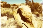
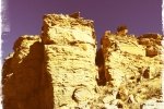
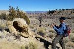
Using “US Topo Maps”, an App that I carry on my Smartphone and Tablet, we navigated to the “prospect”. We found what looked like an old excavation: a hole and an adjacent mound of soil, and figured we had found it. The descent off of the mesa was a bit steep but easy. At the bottom we encountered another fence, decided to get across it by going through the space between the canyon wall and the last fence post. Now standing beneath a 100’+ sheer wall, we marveled at it’s overhang and the large clefts in its face, the result of water running between cracks in the caprock that washed out a “split” in the cliff. And looking up at one of these we were amazed to see daylight through the back of the cleft, behind a bridge formed by two “kissing” sections of the caprock. (See photos below.)
Jay here: What a surprising hike. Guess that’s what happens when you make your own trail — you never know what to expect. Cowpaths were abundant through much of the hike until we got up on top of the mesa and that helped in the early going. Coming upon the old stacked stone building was quite a surprise. Crawling under well maintained barbed wire fencing wasn’t too onerous but if we had to do it more than twice it would have gotten old. The kissing caprock will definitely require a return visit in later afternoon hours to really capture the uniqueness of the geology there.
Statistics
Total Distance: 2.73 miles
Elevation: 5,869 start, 5,957 maximum, 5,815 minimum
Gross gain: 142 ft. Aggregate ascending 380 ft, descending: 378 ft
Maximum slope: 31% ascending, 35% descending, 5% average
Duration: 3:08
| GPS Track Files for Download | |
469 Downloads |
|
|---|---|
243 Downloads |
|


