Back to Placitas to hike on another of the trails Jay and I have enjoyed. This one — Osha Spring Trail on the northeast corner of the Sandia Mountains.
The Drive In
The trailhead is on NM 165, the road that goes along the east side of the Sandia Mountains. One can get to the trailhead from the north or the south, but it is -very- rough especially from the south, from the Sandia Crest Highway NM 536. This road is not recommended for ‘city’ cars.
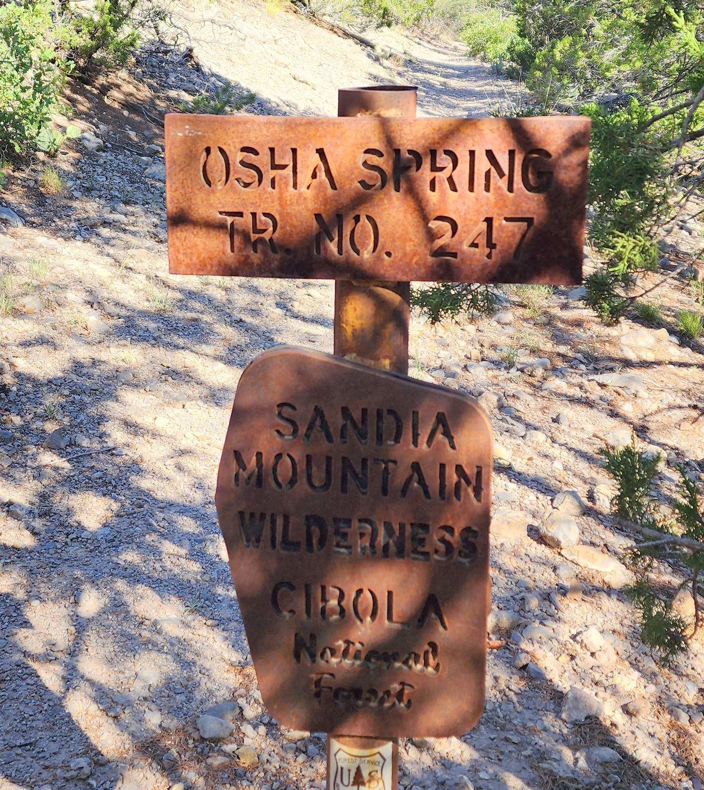 Thus I recommend – from the Bernalillo exit on I-25, take NM 165 eastbound through Placitas. The pavement ends at 9.3 miles where the road becomes very rough for 100 yards or so. Continue for two-tenths of a mile; after crossing a 2nd bridge look on the right for the start of the trail, a steep path up a short incline from the road. Turn around and park on the wider section of the road across from the trailhead. A few yards from the trailhead is a sign announcing the Osha Spring Trail.
The Hike
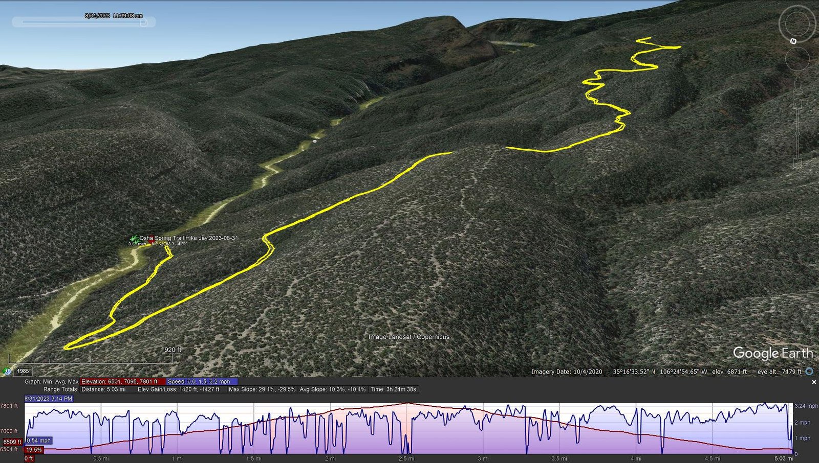
Osha Spring Trail Hike.Jay.2023-08-31
Notes about the Google Earth screenshot: the graph at the bottom shows elevation of the track (pink area) and speed (the blue line).
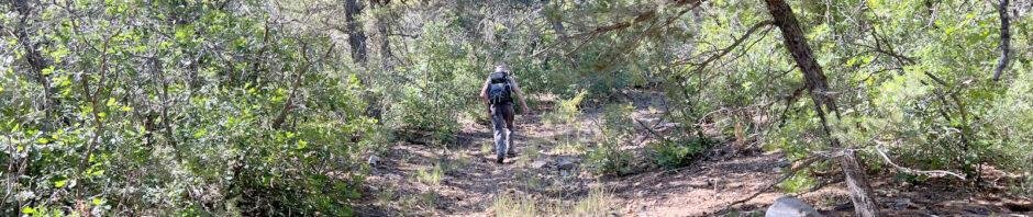
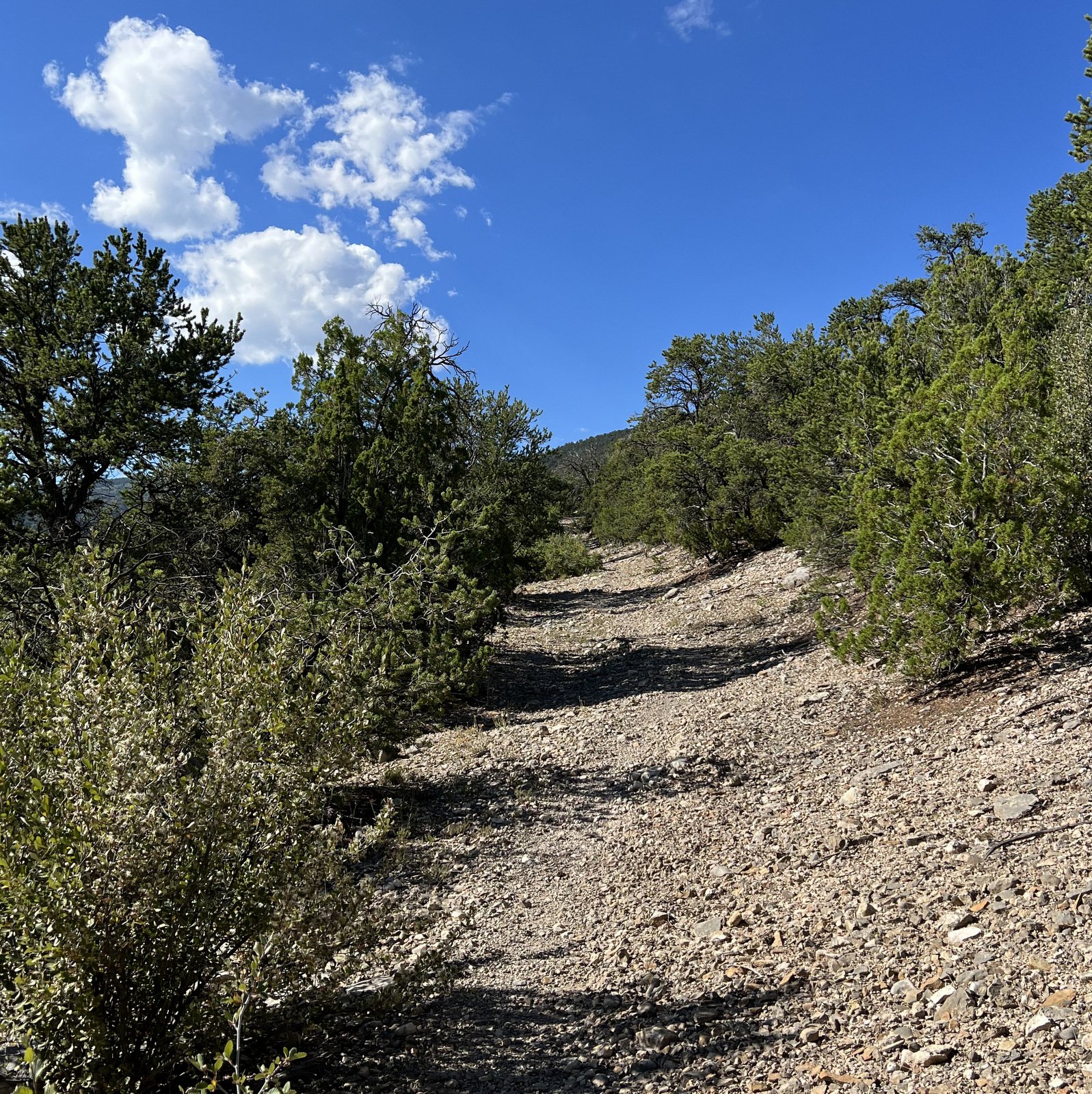
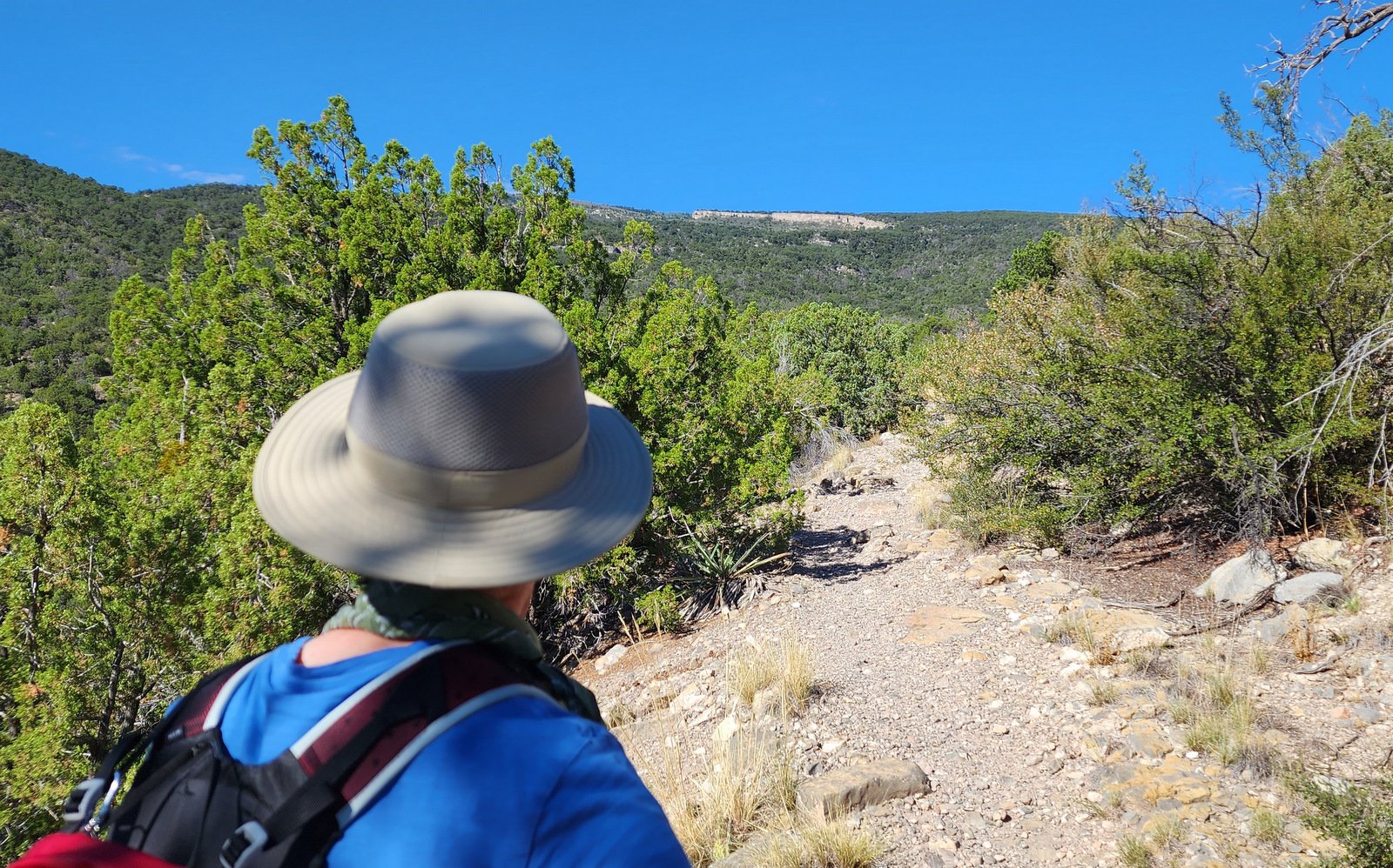
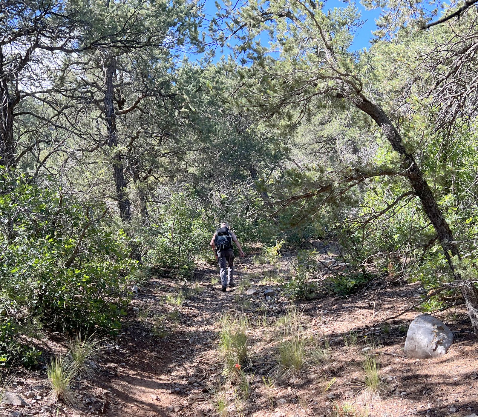
Much of the trail is in the open sun through juniper and scraggly piñon pine trees. The trail surface is over rocky and gravelly ground (“ball bearing” Nancy calls it). Except for a few sections, it is a steady climb to make the 1,200 feet elevation gain in 2 miles. On the upper portion of our hike, above 7,000 feet, the ground gave way to dirt and even some pine needle cover now that we were above the altitude where ponderosa and healthy piñon pines abound.
In contrast with our prior hikes when we experienced “..chilly..” conditions and even snow, on this day the weather was -hot-, certainly in the high 80s. This made it difficult to apply the description from another of our prior hikes: “.. a nice trail, and easy..”. The beer when we stopped for lunch at the Cafe in Placitas was truly welcome.
Jay here: The memory does play tricks on us. I didn’t remember how much of a steady grade up this trail has…or I blocked that part out. We did make it further than our previous hikes, which was on the plus side. On the minus side, we also forgot that the return downhill on the rocks required lots of fancy footwork if you wanted to maintain an upright position. Someday we might actually get to the end of the trail, to the Lands End Mine. Or maybe it will always just beyond our physical endurance. Quien sabe?
Highlight
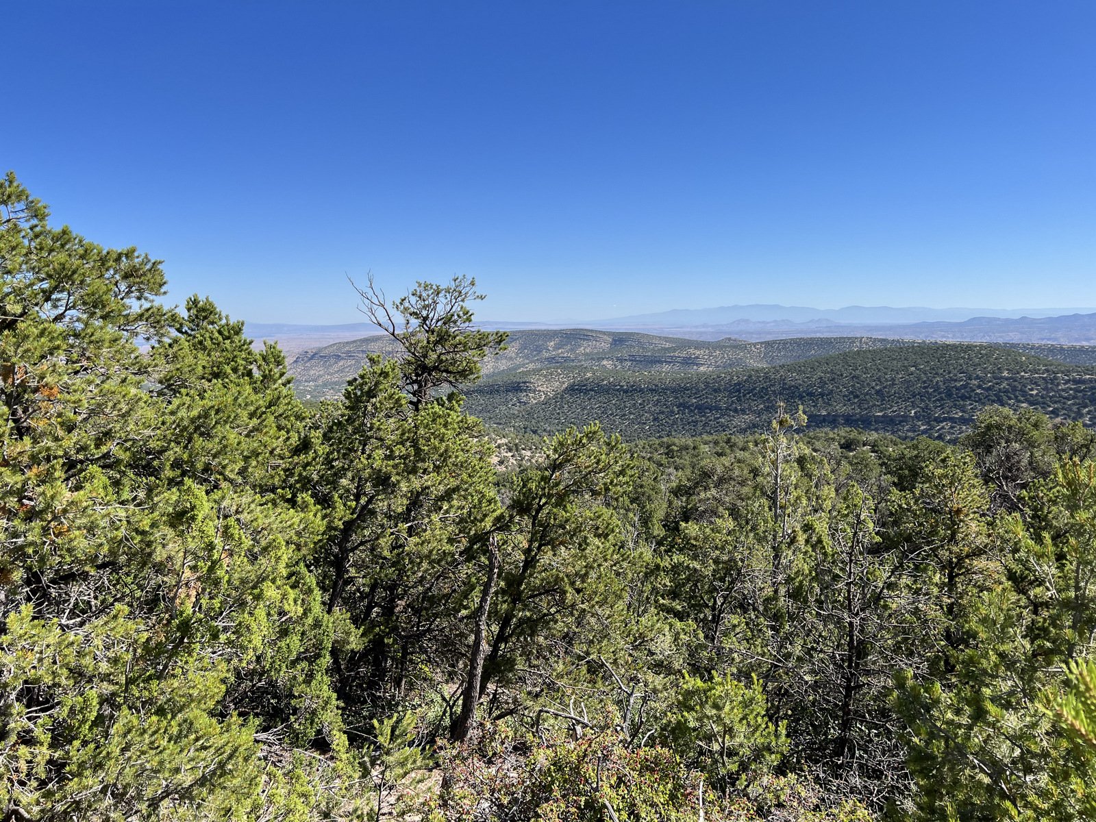
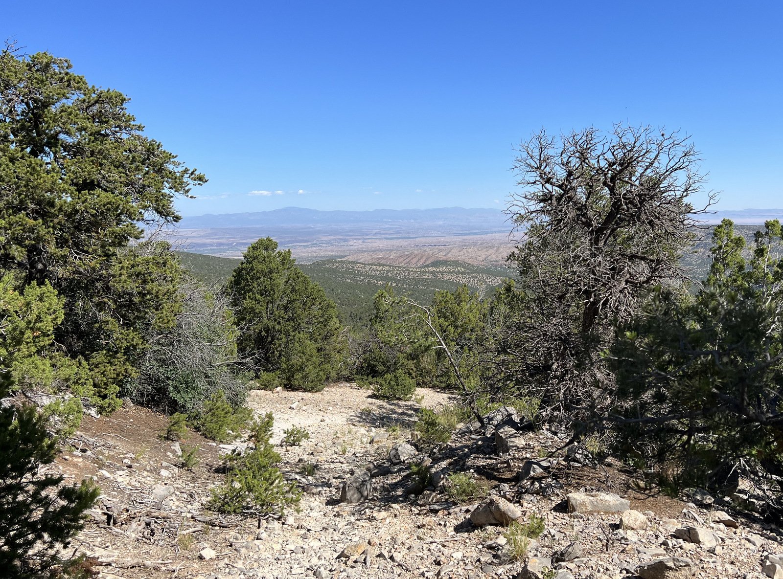
When there was an opening in the trees alongside the trail, or when looking back down the trail, there were some good views.
Statistics
Total Distance: 5.03 miles
Elevation: start 6,509 ft, maximum 7,801 ft, minimum 6,501 ft
Gross gain: 1,300 ft. Aggregate ascending 1,420 ft, descending 1,420 ft
Maximum slope: 29% ascending, 30% descending, 10.4% average
Duration: 3:25, Average Speed: 1.47 mph
| GPS Track Files for Download | |
146 Downloads | |
|---|---|
157 Downloads | |
If you haven’t explored these hiking tracks with Google Earth, I urge you to try it. With the virtual 3-dimensional presentation, achieved by panning and tilting the view, you can get a much better idea of the hikes and terrain than you can get from the screenshot above. For some ideas, check out Using Google Earth Track Files.
Related Posts
Other Hikes on Osha Spring Trail
Other Hikes Around Placitas
References and Resources
USDA Forest Service: Osha Spring Trail 247
AllTrails Osha Spring Trail
ASCHG: Osha Spring Trail
ondafringe: Day Hike: Osha Spring Trail