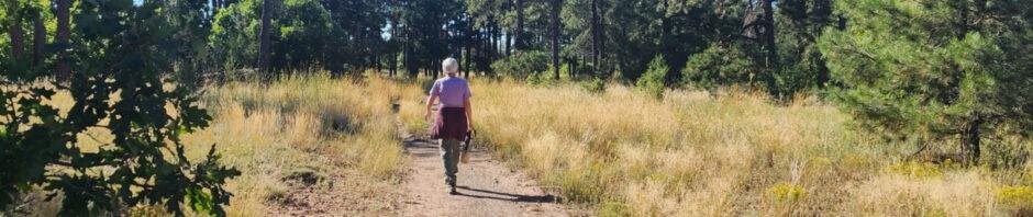
Most mornings we walk 3 to 4+ miles on the trails in the Bosque, along the Rio Grande. We’re getting to know the 3 sections we frequent very well. With a bit more time on this morning, and for a change of scenery, we went to the Forest Service Oak Flats Picnic Site and Trailhead.
The Drive In
Tis an easy drive from Albuquerque: east on I-40, off at Tijeras, south on NM 337 for 10 miles. At the top of the hill, turn left on Oak Flat Road, proceed for 1 mile to the entrance on the left – Oak Flat Picnic Site. Follow the road around to the left, passing Group Sites, to parking for the trailhead.
The Walkabout
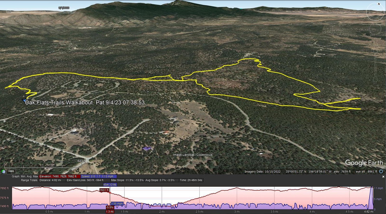
Oak Flats Trails Walkabout.Pat.2023-09-04
Notes about the Google Earth screenshot: the graph at the bottom shows elevation of the track (pink area) and speed (the blue line).
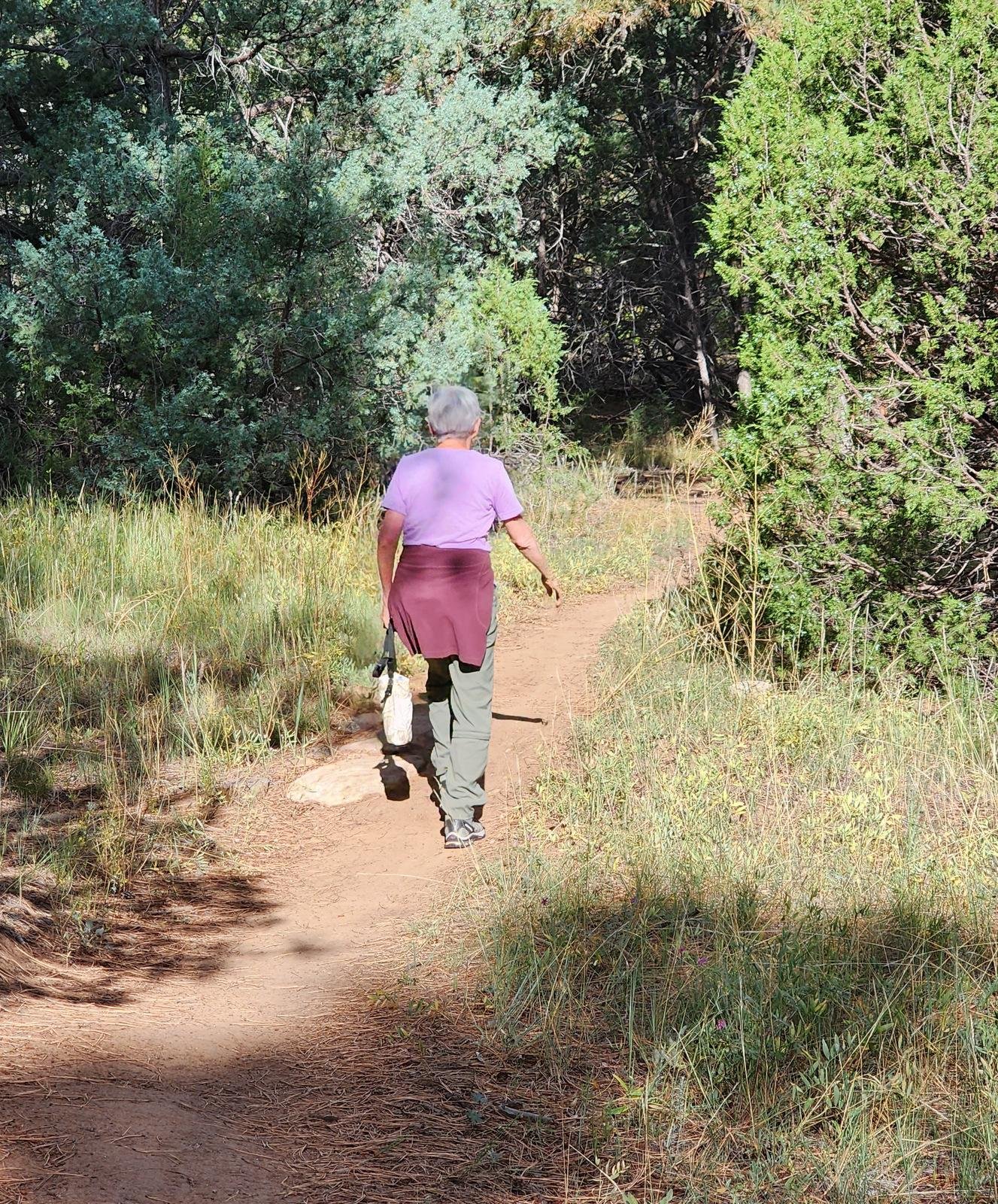 Oak Flats has -many- trails, all of them make quite easy hikes (despite an elevation of 7,600+/- feet). Some sections are a bit rocky and some have some elevation gain; most of the trails are well trodden dirt, occasionally with piñon or ponderosa pine needles. (These trails are popular for the mountain bike enthusiasts, so you may meet them occasionally.)
Checking back on hikes/walkabouts we’ve made before (Other Walkabouts or Hikes at Oak Flats), and ‘tho we took different 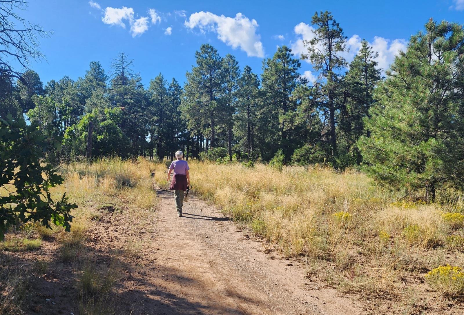 trails, I can’t add much to the description in the post Oak Flats Walkabout – 04/20/2021. I will add that this day’s loop, further from the trailhead than the 04/20/2021 walkabout, presented an easier hike (less rocky) and was through some of the most pleasant sections of the Oak Flats Open Spaces and the adjacent National Forest land. This Walkabout motivates me to return to Oak Flats more often.
A note: If you are the least bit ‘directionally challenged’ (as I am), or don’t develop a mental picture of the trails as you go along (as I don’t), or can retain an image from a map or otherwise (I can’t do that either), bring a map or GPS to track your position and route. There is a map on the information board at the trailhead; get a photo on your ubiquitous phone to take with you. And maps are available online. On the trails, there are signs at intersections that identify the trails; together with a map, these will help you keep track of your location.
Statistics
Total Distance: 4.82 miles
Elevation: start 7,684 ft, maximum 7,692 ft, minimum 7,490 ft
Gross gain: 202 ft. Aggregate ascending 563 ft, descending 564 ft
Maximum slope: 11% ascending, 14% descending, 3.6% average
Duration: 2:49, Average Speed: 1.7 mph
| GPS Track Files for Download | |
190 Downloads | |
|---|---|
148 Downloads | |
If you haven’t explored these hiking tracks with Google Earth, I urge you to try it. With the virtual 3-dimensional presentation, achieved by panning and tilting the view, you can get a much better idea of the hikes and terrain than you can get from the screenshot above. For some ideas, check out Using Google Earth Track Files.
Related Posts
Other Walkabouts or Hikes at Oak Flats (BTW, some are titled “Walkabout” & others “Hike”. They are all actually “Walkabouts” .. we don’t typically bring our packs, lunch, etc. that distinguishes “Hikes”.)
Other Hikes Around Tijeras
References and Resources
USDA Forest Service: Oak Flats Picnic Site
Oak Flat Trailhead & Connector Trail 05637 (check the map)
GAIA: Oak Flat Trailhead Loop via PONDEROSA
AllTrails: Oak Flat Loop
Oak Flat Loop Trail
MTB Project: Manzanita Mountains Trail System
(explore all the trails along south NM 337)
CalTopo: Oak Flats Trails