Introduction
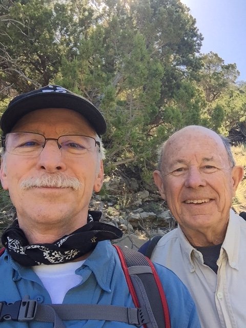
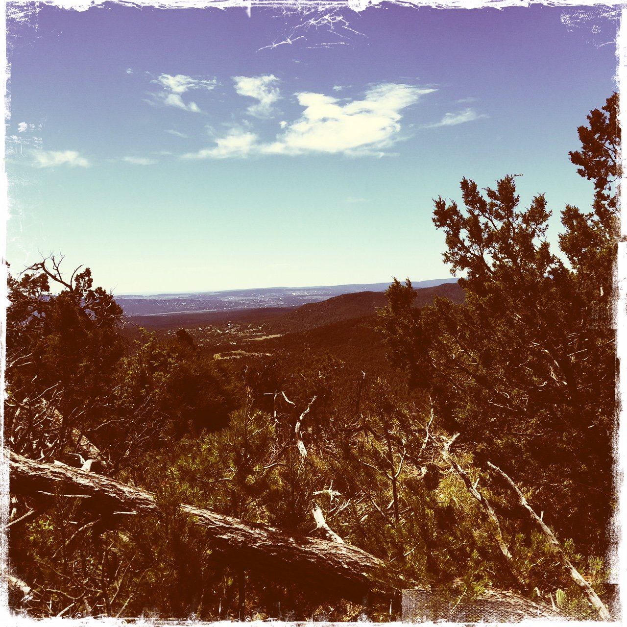
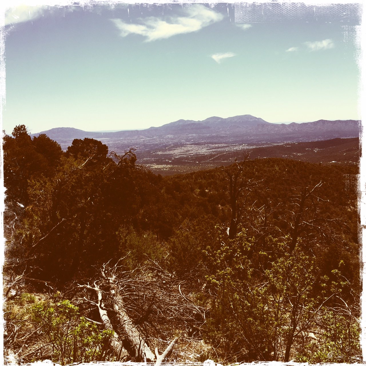
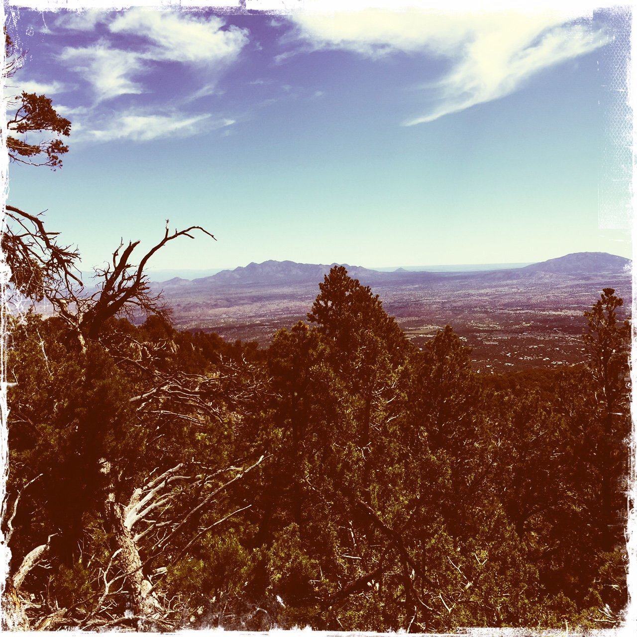
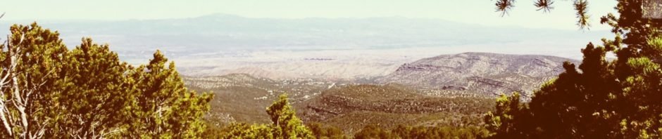
Second hike on the Palomas Peak trail, this time with clear weather.
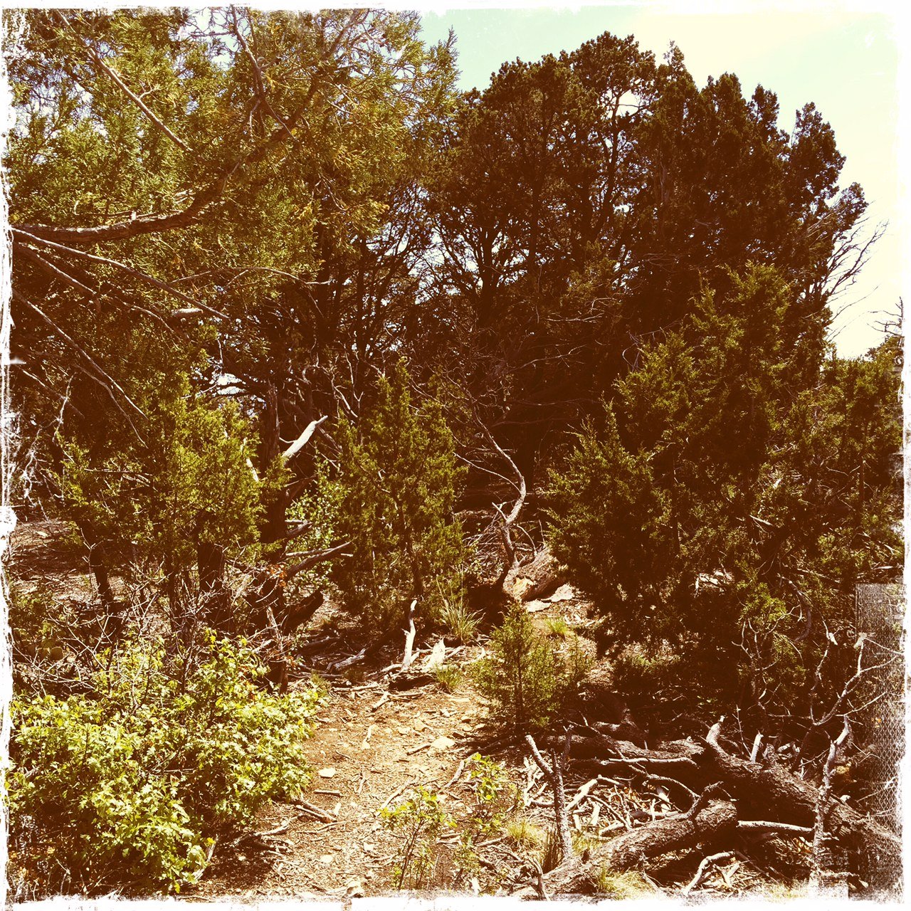
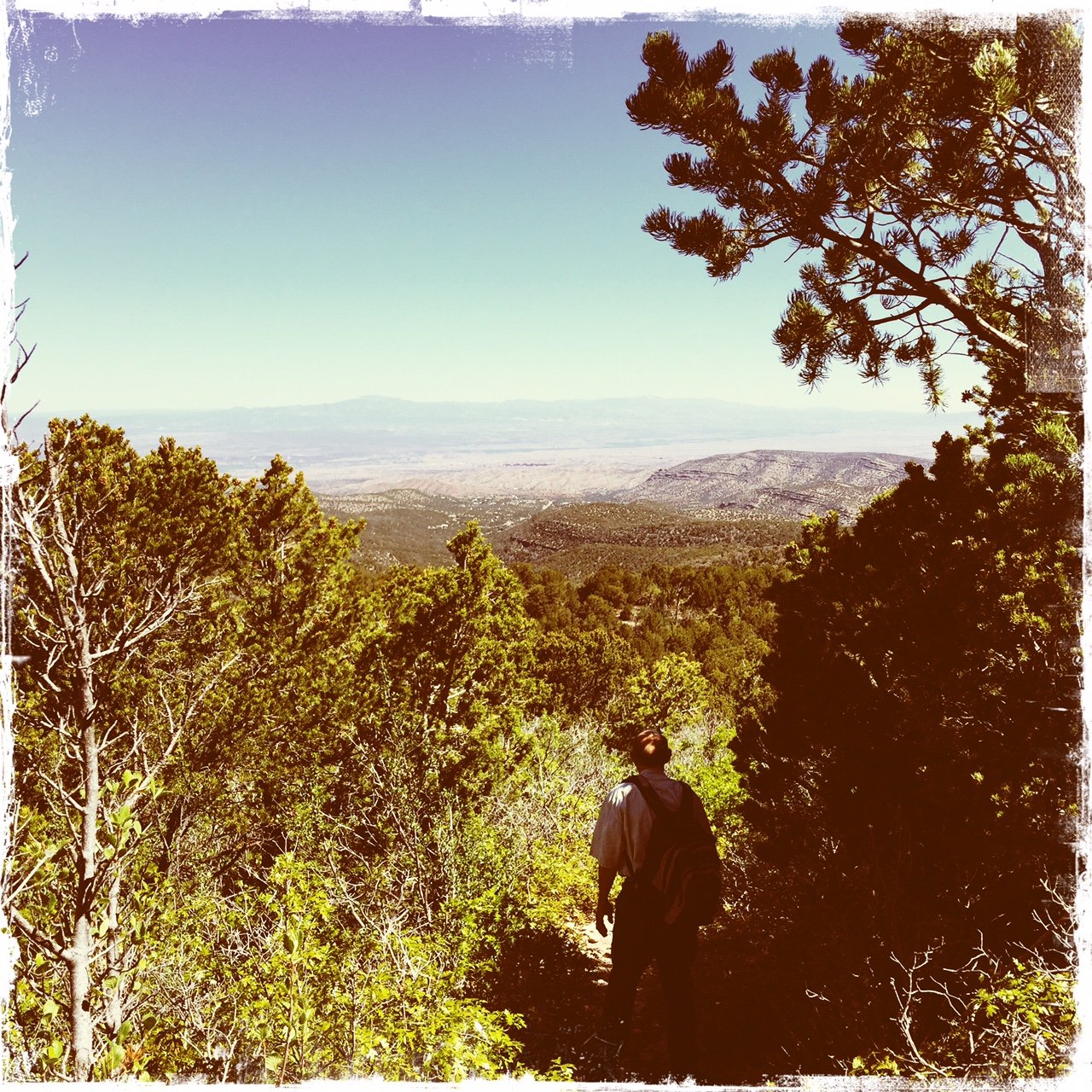
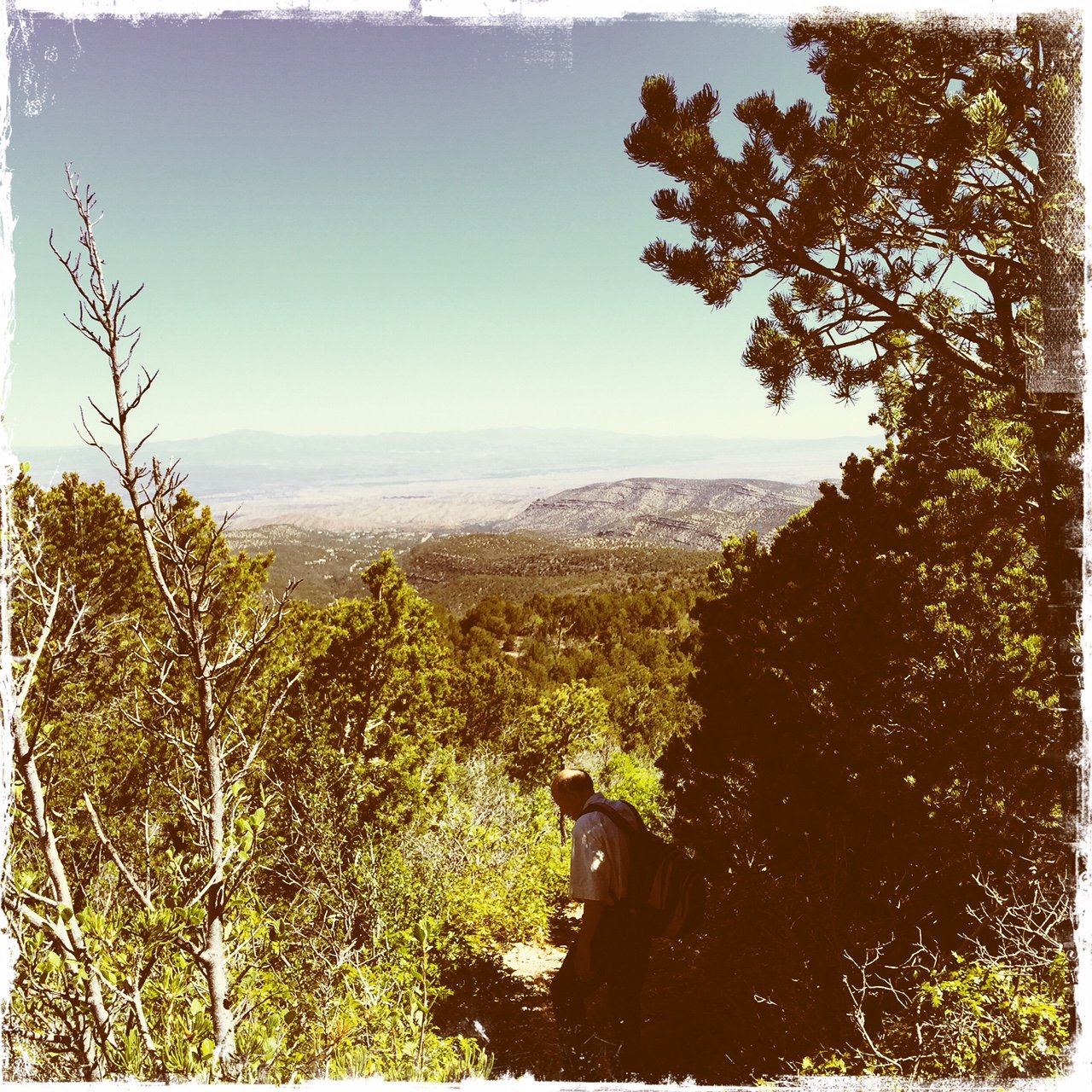
The Hike
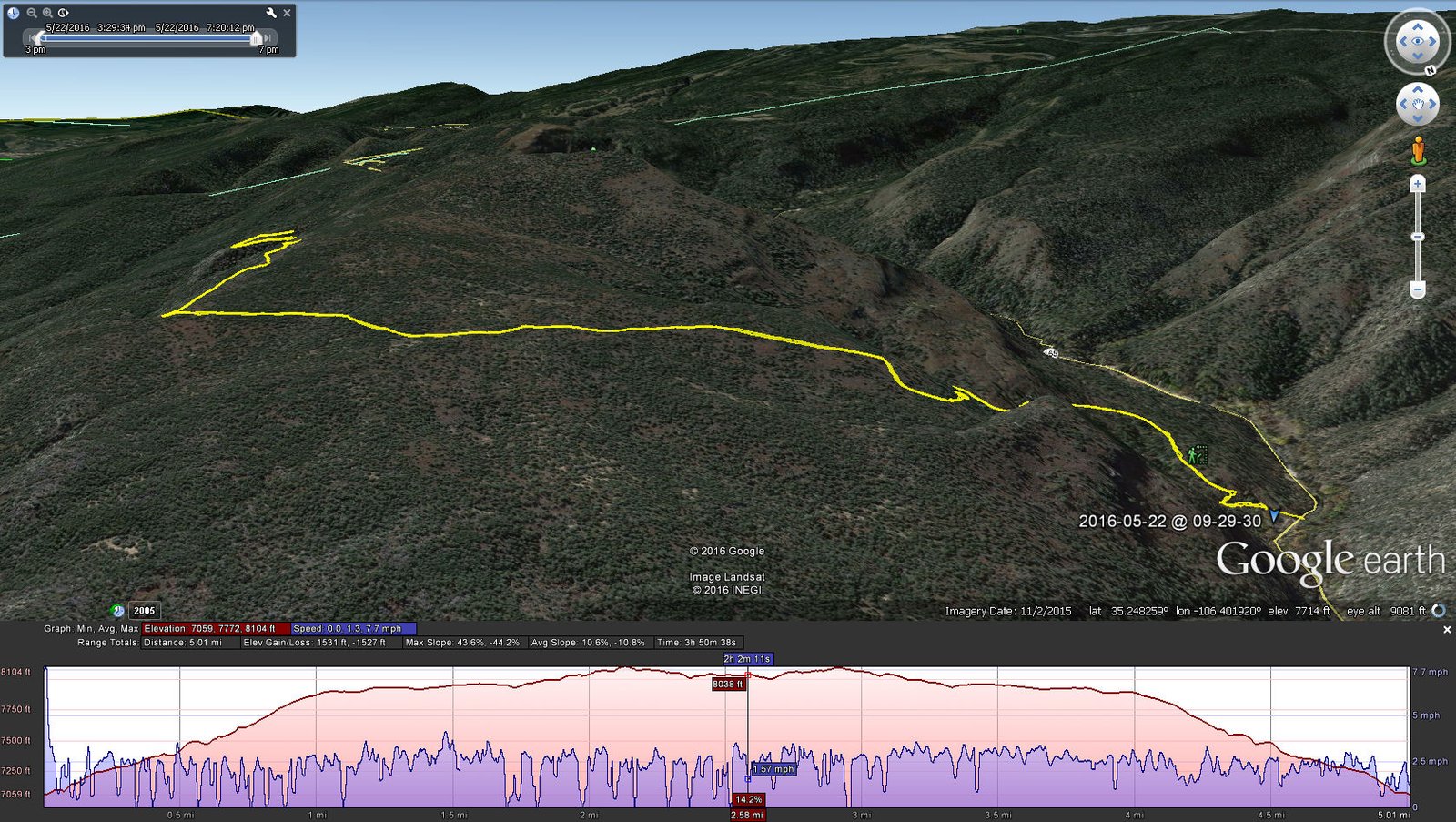
We went further than the previous hike, close to half of the total distance to the upper end of this trail.
Statistics
Total Distance: 5.01 miles
Elevation: start 7,071 ft, maximum 7,071 ft, minimum 8,074 ft
Gross gain: 1,003 ft. Aggregate ascending 1,553 ft, descending 1,560 ft
Maximum slope: 35% ascending, 40% descending, 10,2% average
Duration: 3:50
| GPS Track Files for Download | |
180 Downloads | |
|---|---|
169 Downloads | |
If you haven’t explored these hiking tracks with Google Earth, I urge you to try it. With the virtual 3-dimensional presentation, achieved by panning and tilting the view, you can get a much better idea of the hikes and terrain than you can get from the screenshot above. For some ideas, check out Using Google Earth Track Files.
References
ASCHG:
Palomas Peak Two Ways Hike
Palomas Peak Downhill to Sandia Man Cave Hike